Old Maps of Deer Trail, Colorado
Explore 18 old maps of Deer Trail, spanning from 1953 to today. These high-resolution historic maps reveal how streets, neighborhoods, landmarks, and natural features evolved over time — perfect for genealogy, metal detecting, research, and local history exploration.
What you can do with these maps:
- See how Deer Trail changed over time: Compare historical maps to modern-day views to trace roads, homesites, rail lines & more.
- View detailed metadata: Each map includes creators, publishers, year, scale, and archive source.
- Overlay maps with satellite & LiDAR: Visualize the past alongside modern tools to explore terrain & human change.
- Trusted historical sources: Maps sourced from the USGS, Library of Congress, and other archives.
- Access maps your way: View online, download high-res files, or order prints for personal or research use.
Start exploring old maps of Deer Trail to uncover forgotten places, hidden landmarks, and the deep history beneath your feet.
Deer Trail, CO maps
(18)- 1953 Map of Denver, 1964 Print
 1953 Denver1964 Print · USGSDenver and the Colorado Front Range are captured here during a decade of post-war growth and military expansion. Researchers can trace the sprawling rail lines of the Union Pacific, locate the State Capitol, and explore historic mountain mining hubs like Central City.6 unique versions available
 - 1956 Map of Peoria, 1957 Print
 1956 Peoria1957 Print · USGSThe rural crossing at Peoria is captured here in the mid-fifties, showing the vital intersection of prairie ranching and heavy infrastructure. Researchers can trace the Union Pacific rail line and locate industrial markers like the Truck Inspection Station and several early wells.4 unique versions available
 - 1957 Map of Denver
 1957 Denver1957 Print · USGSDenver and the Colorado Front Range are seen here during a mid-century period of intense military and urban expansion. Trace the footprints of the Rocky Mountain Arsenal, the early United States Air Force Academy, and the Lowry AF Base.
 - 1958 Map of Denver
 1958 Denver1958 Print · USGSDenver and the Colorado Front Range are captured here during the mid-century suburban boom. Trace the footprints of military installations like Buckley Air Force Base alongside the established rail networks of the Colorado & Southern Ry.
 - 1960 Map of Denver
 1960 Denver1960 Print · USGSDenver and the Colorado Front Range are seen here at a pivotal moment of postwar expansion into the plains and foothills. Researchers can trace the mid-century rail network of the Denver & Rio Grande Western RR and locate historic institutional landmarks like Buckley Field and the Colorado School of Mines.
 - 1968 Map of Deer Trail, 1973 Print
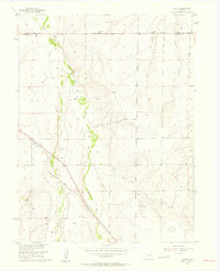
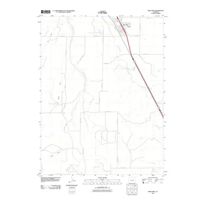
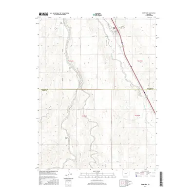
 1968 Deer Trail1973 Print · USGSThe Eastern Plains town of Deer Trail is shown here in the late sixties as the high-speed transit of the Union Pacific and Interstate 70 began to reshape the old prairie landscape. Genealogists and local historians can trace the Evergreen Cem, the Rodeo Ground, and the winding paths of East Bijou Creek.
 - 1969 Map of Deer Trail, 1973 Print
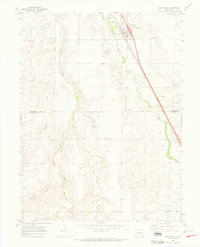
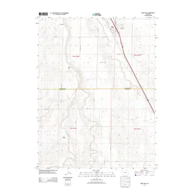
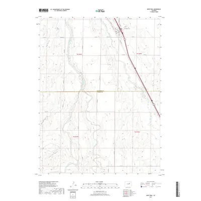
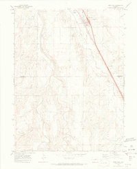 1969 Deer Trail1973 Print · USGSDeer Trail sits at the crossroads of the High Plains and major rail lines in the late sixties. Trace the local landscape through family-named landmarks like Evergreen Cem, the Rodeo Ground, and the drainages of East Bijou Creek.3 unique versions available
 - 1981 Map of Denver East
 1981 Denver East1981 Print · USGSEastern Colorado comes alive in the early eighties as the Front Range urban corridor pushes into the plains. Genealogists and historians can trace the growth of Aurora and Brighton alongside the historic Union Pacific line and the massive Rocky Mountain Arsenal.2 unique versions available
 - 2010 Map of Peoria, 2010 Print
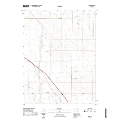
 2010 Peoria2010 Print · USGSCovers Deer Trail, including Peoria, Cabin Creek, and other nearby areas
 - 2010 Map of Deer Trail, 2010 Print
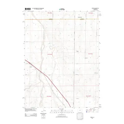
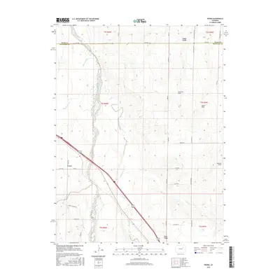
 2010 Deer Trail2010 Print · USGSCovers Deer Trail, including Arapahoe County, Elbert County, and other nearby areas
 - 2013 Map of Deer Trail, 2013 Print
 2013 Deer Trail2013 Print · USGSCovers Deer Trail, including Arapahoe County, Elbert County, and other nearby areas
 - 2013 Map of Peoria, 2013 Print
 2013 Peoria2013 Print · USGSCovers Deer Trail, including Peoria, Cabin Creek, and other nearby areas
 - 2016 Map of Peoria, 2016 Print
 2016 Peoria2016 Print · USGSCovers Deer Trail, including Peoria, Cabin Creek, and other nearby areas
 - 2016 Map of Deer Trail, 2016 Print
 2016 Deer Trail2016 Print · USGSCovers Deer Trail, including Arapahoe County, Elbert County, and other nearby areas
 - 2019 Map of Peoria, 2019 Print
 2019 Peoria2019 Print · USGSCovers Deer Trail, including Peoria, Cabin Creek, and other nearby areas
 - 2019 Map of Deer Trail, 2019 Print
 2019 Deer Trail2019 Print · USGSCovers Deer Trail, including Arapahoe County, Elbert County, and other nearby areas
 - 2022 Map of Deer Trail, 2022 Print
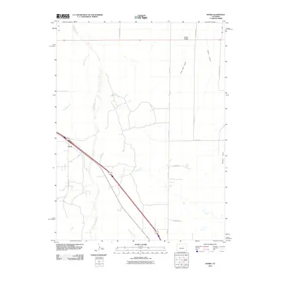
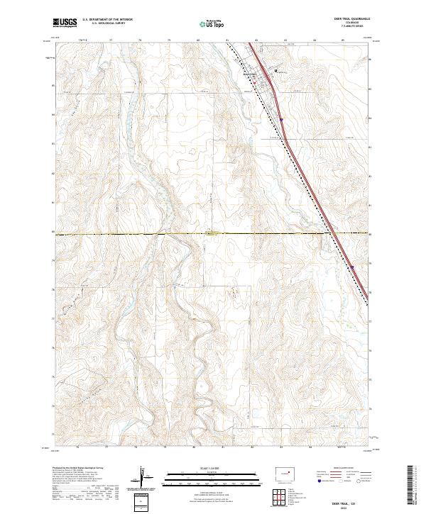 2022 Deer Trail2022 Print · USGSDeer Trail and the high-plains ranching country of Arapahoe and Elbert counties are shown in this contemporary survey. Genealogists and local historians can locate specific town streets and the Evergreen Cem, or trace the path of Middle Bijou Cr.
 - 2022 Map of Peoria, 2022 Print
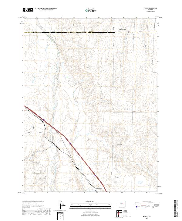 2022 Peoria2022 Print · USGSThe eastern Colorado plains come into focus in this recent survey of the area near Deer Trail, where the Middle Bijou Creek meets the prairie. Researchers can trace the rural road network from Peoria Rd to Hanks Crossing Rd and locate landmarks like Lone Tree Gulch.
End of results
Showing maps 1-18 of 18
Frequently asked questions
- What are the different types of historical maps available for Deer Trail?
- What is the oldest map of Deer Trail?
- Where can I purchase historical maps of Deer Trail for my home or office?
- Where can I download high-res historical maps of Deer Trail?
- Are there historical topographic maps available for Deer Trail?
- Is there historical aerial imagery available for Deer Trail?
- Where are historical maps of Deer Trail sourced from?