2000s (21st Century) Maps of Deer Trail, Colorado
Explore 10 historic maps of Deer Trail from the 2000s (21st Century). These maps offer a rare glimpse into what life looked like during the 2000s — showing old roads, neighborhoods, homes, and landmarks that have changed or disappeared over time.
Whether you're researching your family's past, planning a metal detecting trip, or studying how Deer Trail's landscape evolved across the 2000s, these high-resolution maps are a powerful tool for exploring the history of this region.
- Focus on a specific era: All maps on this page are from the 2000s, giving you a focused view of this time period.
- See what’s changed: Compare century-old streets, trails, and buildings to today's modern landscape using overlays and satellite layers.
- Research with precision: Use these maps for genealogy, historical research, land use analysis, or educational projects.
- View, download, or print: Maps are fully viewable online in high resolution, and can be downloaded or printed for your own records.
Start exploring Deer Trail's history through authentic maps from the 2000s. This is your window into the past.
Deer Trail, CO maps
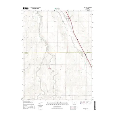
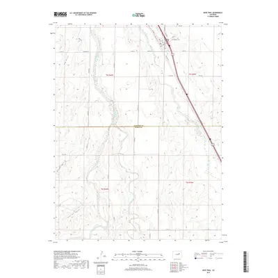
(10)- 2010 Map of Peoria, 2010 Print
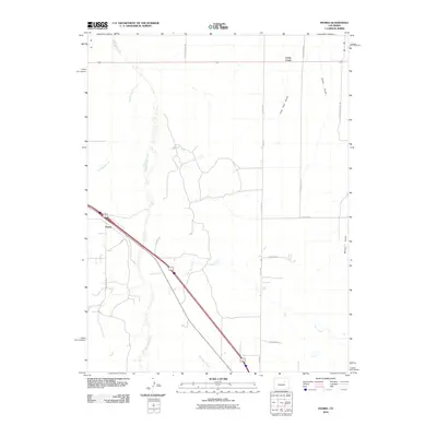 2010 Peoria2010 Print · USGSCovers Deer Trail, including Peoria, Cabin Creek, and other nearby areas
 - 2010 Map of Deer Trail, 2010 Print
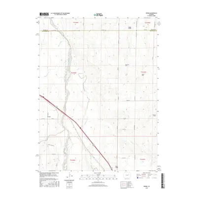
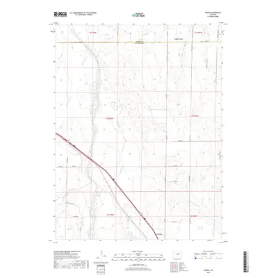
 2010 Deer Trail2010 Print · USGSCovers Deer Trail, including Arapahoe County, Elbert County, and other nearby areas
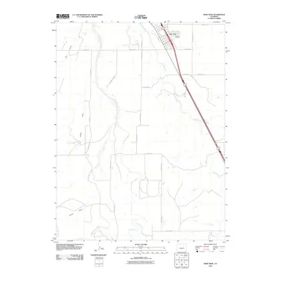
 - 2013 Map of Deer Trail, 2013 Print
 2013 Deer Trail2013 Print · USGSCovers Deer Trail, including Arapahoe County, Elbert County, and other nearby areas
 - 2013 Map of Peoria, 2013 Print
 2013 Peoria2013 Print · USGSCovers Deer Trail, including Peoria, Cabin Creek, and other nearby areas
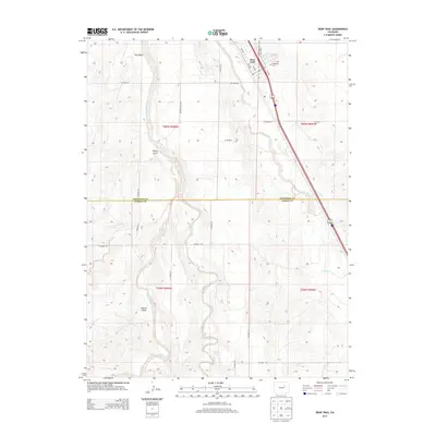
 - 2016 Map of Peoria, 2016 Print
 2016 Peoria2016 Print · USGSCovers Deer Trail, including Peoria, Cabin Creek, and other nearby areas
 - 2016 Map of Deer Trail, 2016 Print
 2016 Deer Trail2016 Print · USGSCovers Deer Trail, including Arapahoe County, Elbert County, and other nearby areas
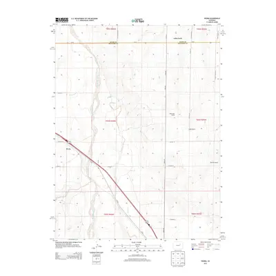
 - 2019 Map of Peoria, 2019 Print
 2019 Peoria2019 Print · USGSCovers Deer Trail, including Peoria, Cabin Creek, and other nearby areas
 - 2019 Map of Deer Trail, 2019 Print
 2019 Deer Trail2019 Print · USGSCovers Deer Trail, including Arapahoe County, Elbert County, and other nearby areas
 - 2022 Map of Deer Trail, 2022 Print
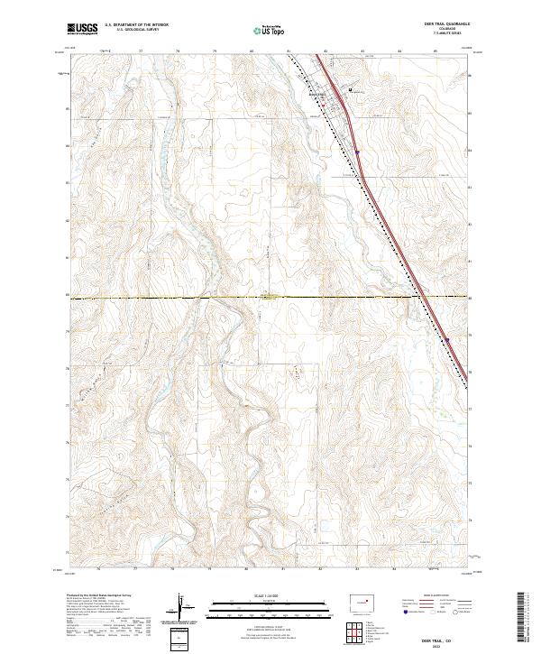 2022 Deer Trail2022 Print · USGSDeer Trail and the high-plains ranching country of Arapahoe and Elbert counties are shown in this contemporary survey. Genealogists and local historians can locate specific town streets and the Evergreen Cem, or trace the path of Middle Bijou Cr.
 - 2022 Map of Peoria, 2022 Print
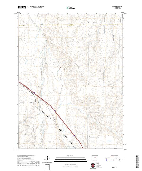 2022 Peoria2022 Print · USGSThe eastern Colorado plains come into focus in this recent survey of the area near Deer Trail, where the Middle Bijou Creek meets the prairie. Researchers can trace the rural road network from Peoria Rd to Hanks Crossing Rd and locate landmarks like Lone Tree Gulch.
End of results
Showing maps 1-10 of 10
Frequently asked questions
- What are the different types of historical maps available for Deer Trail?
- What is the oldest map of Deer Trail?
- Where can I purchase historical maps of Deer Trail for my home or office?
- Where can I download high-res historical maps of Deer Trail?
- Are there historical topographic maps available for Deer Trail?
- Is there historical aerial imagery available for Deer Trail?
- Where are historical maps of Deer Trail sourced from?