Old Maps of Green Valley Ranch (East), Aurora for Genealogy
Trace your family roots with 14 historic maps of Green Valley Ranch (East). These high-res maps reveal old neighborhoods, homesites, landmarks, and streets — helping you uncover where your ancestors lived and how the area evolved over time.
- Explore historic neighborhoods: Identify where your relatives may have lived in the 1800s or 1900s.
- Compare maps over time: Trace the changes in streets, buildings, and landmarks for multi-generational research.
- Perfect for genealogy & ancestry research: Used by family historians and researchers to map out lineage and migration.
These maps are an incredible resource for exploring your personal connection to Green Valley Ranch (East)'s past.
Green Valley Ranch (East), Aurora maps
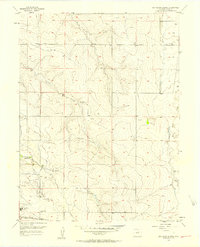
(14)- 1890 Map of East Denver
 1890 East Denver1890 Print · USGSDenver and the surrounding plains are captured in the late frontier era as a complex web of irrigation canals and iron rails. Researchers can trace early water systems like the High Line Ditch or locate early settlements such as Parker's and Scranton.
 - 1942 Map of Box Elder School
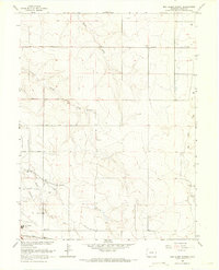
 1942 Box Elder School1942 Print · USGSAdams County ranching and irrigation systems are in full view just before the mid-century, as the city of Denver begins to expand eastward. Trace the early rural school districts at Box Elder Sch and First Creek Sch or follow the path of the Highline Canal.
 - 1953 Map of Denver, 1964 Print
 1953 Denver1964 Print · USGSDenver and the Colorado Front Range are captured here during a decade of post-war growth and military expansion. Researchers can trace the sprawling rail lines of the Union Pacific, locate the State Capitol, and explore historic mountain mining hubs like Central City.6 unique versions available
 - 1957 Map of Denver
 1957 Denver1957 Print · USGSDenver and the Colorado Front Range are seen here during a mid-century period of intense military and urban expansion. Trace the footprints of the Rocky Mountain Arsenal, the early United States Air Force Academy, and the Lowry AF Base.
 - 1957 Map of Box Elder School, 1958 Print
 1957 Box Elder School1958 Print · USGSAdams County’s high plains are captured here in the late fifties, showing a rural landscape defined by ranching and early energy exploration. Researchers can find old schoolhouses like Box Elder Sch, the Sky Ranch Airport, and an Abandoned Canal crossing the prairie.4 unique versions available
 - 1958 Map of Denver
 1958 Denver1958 Print · USGSDenver and the Colorado Front Range are captured here during the mid-century suburban boom. Trace the footprints of military installations like Buckley Air Force Base alongside the established rail networks of the Colorado & Southern Ry.
 - 1960 Map of Denver
 1960 Denver1960 Print · USGSDenver and the Colorado Front Range are seen here at a pivotal moment of postwar expansion into the plains and foothills. Researchers can trace the mid-century rail network of the Denver & Rio Grande Western RR and locate historic institutional landmarks like Buckley Field and the Colorado School of Mines.
 - 1966 Map of Box Elder School, 1967 Print
 1966 Box Elder School1967 Print · USGSAdams County land was still defined by its creek beds and rural schoolhouses during the mid-sixties. Local researchers can trace family roots near Box Elder Sch or locate early landmarks like Sky Ranch Airport and the Union Pacific line.4 unique versions available
 - 1981 Map of Denver East
 1981 Denver East1981 Print · USGSEastern Colorado comes alive in the early eighties as the Front Range urban corridor pushes into the plains. Genealogists and historians can trace the growth of Aurora and Brighton alongside the historic Union Pacific line and the massive Rocky Mountain Arsenal.2 unique versions available
 - 2010 Map of Denver International Airport, 2010 Print
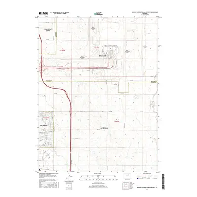
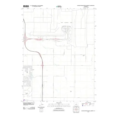 2010 Denver International Airport2010 Print · USGSCovers Green Valley Ranch (East), including Aurora, Commerce City, and other nearby areas
 - 2013 Map of Denver International Airport, 2013 Print
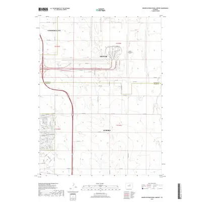
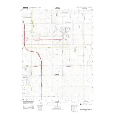 2013 Denver International Airport2013 Print · USGSCovers Green Valley Ranch (East), including Aurora, Commerce City, and other nearby areas
 - 2016 Map of Denver International Airport, 2016 Print
 2016 Denver International Airport2016 Print · USGSCovers Green Valley Ranch (East), including Aurora, Commerce City, and other nearby areas
 - 2019 Map of Denver International Airport, 2019 Print
 2019 Denver International Airport2019 Print · USGSCovers Green Valley Ranch (East), including Aurora, Commerce City, and other nearby areas
 - 2022 Map of Denver International Airport, 2022 Print
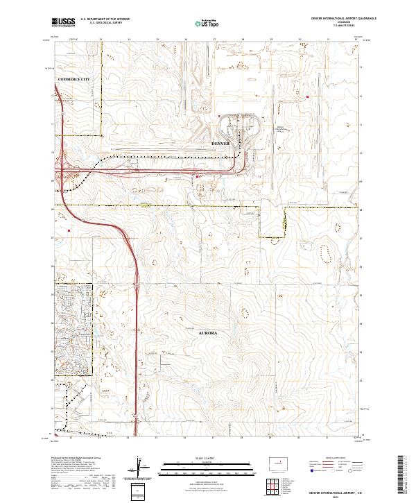 2022 Denver International Airport2022 Print · USGSThe northeastern Colorado prairie meets modern aviation infrastructure in this recent survey of the tri-city area. Researchers can trace the path of the historic High Line Canal Trl alongside the massive layout of Denver International Airport.
End of results
Showing maps 1-14 of 14
Frequently asked questions
- What are the different types of historical maps available for Green Valley Ranch (East)?
- What is the oldest map of Green Valley Ranch (East)?
- Where can I purchase historical maps of Green Valley Ranch (East) for my home or office?
- Where can I download high-res historical maps of Green Valley Ranch (East)?
- Are there historical topographic maps available for Green Valley Ranch (East)?
- Is there historical aerial imagery available for Green Valley Ranch (East)?
- Where are historical maps of Green Valley Ranch (East) sourced from?