Old Maps of Buckeye Crossroads, Colorado for Genealogy
Trace your family roots with 12 historic maps of Buckeye Crossroads. These high-res maps reveal old neighborhoods, homesites, landmarks, and streets — helping you uncover where your ancestors lived and how the area evolved over time.
- Explore historic neighborhoods: Identify where your relatives may have lived in the 1800s or 1900s.
- Compare maps over time: Trace the changes in streets, buildings, and landmarks for multi-generational research.
- Perfect for genealogy & ancestry research: Used by family historians and researchers to map out lineage and migration.
These maps are an incredible resource for exploring your personal connection to Buckeye Crossroads's past.
Buckeye Crossroads, CO maps
(12)- 1891 Map of Albany
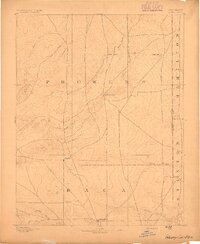
 1891 Albany1891 Print · USGSThe Colorado-Kansas borderlands were a crossroads of historic transit in the early 1890s. Genealogists and historians can trace the paths of the Santa Fe Trail and Texas Trail past frontier outposts like Albany and Kline Ranche.
 - 1893 Map of Albany
 1893 Albany1893 Print · USGSThe high plains of the Colorado-Kansas border are documented here in the early 1890s, when overland travel routes still shaped the land. Local historians can trace the paths of the Santa Fe Trail and Texas Trail past early settlements like Albany and Kline Ranche.5 unique versions available
 - 1955 Map of La Junta, 1966 Print
 1955 La Junta1966 Print · USGSSoutheastern Colorado during the mid-fifties is captured here as a sprawling network of ranching outposts and rail sidings. Researchers can locate vanished landmarks like the Sunderland School, trace the isolated Lycan Post Office, or find the Bomb target (abandoned) on the western plains.3 unique versions available
 - 1958 Map of La Junta
 1958 La Junta1958 Print · USGSSoutheast Colorado and the Kansas borderlands appear in the late fifties as a landscape of isolated ranching outposts and vital rail junctions. Researchers can trace the lineage of vanished post offices and rural school sites like the Lycan Post Office and Sunderland School.2 unique versions available
 - 1968 Map of La Junta
 1968 La Junta1968 Print · USGSSoutheastern Colorado and the high plains appear in remarkable detail during the late 1960s, showing the intersection of irrigation, ranching, and rail. Genealogists can trace family footprints at the Lycan Post Office, Konantz Cem, and across numerous named cattle ranches.
 - 1971 Map of Lycan, 1973 Print
 1971 Lycan1973 Print · USGSHigh plains ranching life in Baca County is captured here in the early 1970s just miles from the Kansas border. Genealogists and local historians can trace the transition of the local post office to Buckeye Crossroads and locate numerous historic Well sites near Buffalo Creek.
 - 1984 Map of Two Buttes Reservoir
 1984 Two Buttes Reservoir1984 Print · USGSSoutheastern Colorado and western Kansas appear in the mid-1980s as a high plains landscape shaped by historic migration and ranching. Researchers can trace the path of the Santa Fe Trail and locate rural hubs like Deora, Lycan, and Buckeye Crossroads.
 - 2010 Map of Lycan, 2010 Print
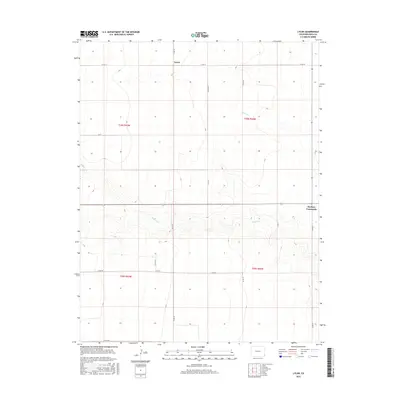
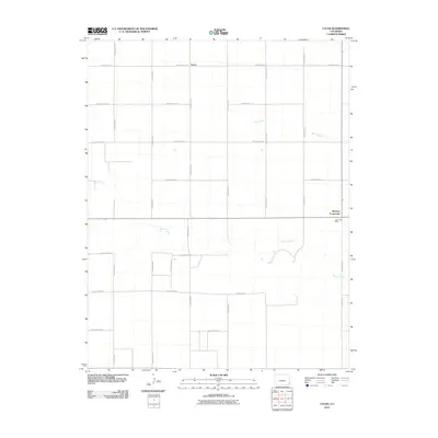 2010 Lycan2010 Print · USGSCovers Buckeye Crossroads, including Baca County, United States, and other nearby areas
 - 2013 Map of Lycan, 2013 Print
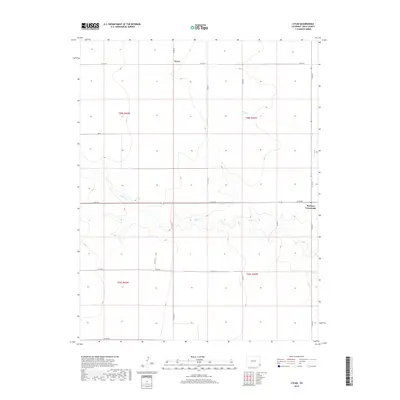
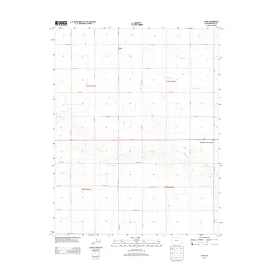 2013 Lycan2013 Print · USGSCovers Buckeye Crossroads, including Baca County, United States, and other nearby areas
 - 2016 Map of Lycan, 2016 Print
 2016 Lycan2016 Print · USGSCovers Buckeye Crossroads, including Baca County, United States, and other nearby areas
 - 2019 Map of Lycan, 2019 Print
 2019 Lycan2019 Print · USGSCovers Buckeye Crossroads, including Baca County, United States, and other nearby areas
 - 2022 Map of Lycan, 2022 Print
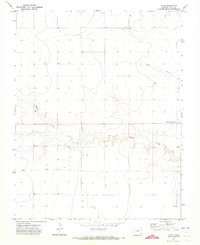
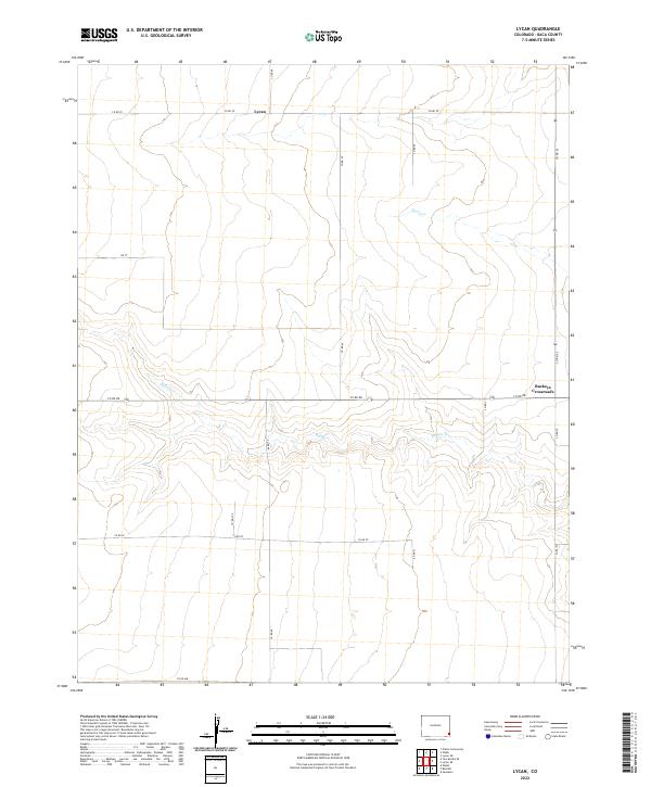 2022 Lycan2022 Print · USGSEastern Colorado's high plains are captured here in the early twenty-first century, showing a remote agricultural landscape defined by its section-line roads. Trace the sparse settlement patterns near Lycan and Buckeye Crossroads, or follow the drainage of Buffalo Cr.
End of results
Showing maps 1-12 of 12
Top cities near Buckeye Crossroads
Frequently asked questions
- What are the different types of historical maps available for Buckeye Crossroads?
- What is the oldest map of Buckeye Crossroads?
- Where can I purchase historical maps of Buckeye Crossroads for my home or office?
- Where can I download high-res historical maps of Buckeye Crossroads?
- Are there historical topographic maps available for Buckeye Crossroads?
- Is there historical aerial imagery available for Buckeye Crossroads?
- Where are historical maps of Buckeye Crossroads sourced from?