1900s (20th Century) Maps of Vilas, Colorado
Explore 7 historic maps of Vilas from the 1900s (20th Century). These maps offer a rare glimpse into what life looked like during the 1900s — showing old roads, neighborhoods, homes, and landmarks that have changed or disappeared over time.
Whether you're researching your family's past, planning a metal detecting trip, or studying how Vilas's landscape evolved across the 1900s, these high-resolution maps are a powerful tool for exploring the history of this region.
- Focus on a specific era: All maps on this page are from the 1900s, giving you a focused view of this time period.
- See what’s changed: Compare century-old streets, trails, and buildings to today's modern landscape using overlays and satellite layers.
- Research with precision: Use these maps for genealogy, historical research, land use analysis, or educational projects.
- View, download, or print: Maps are fully viewable online in high resolution, and can be downloaded or printed for your own records.
Start exploring Vilas's history through authentic maps from the 1900s. This is your window into the past.
Vilas, CO maps
(7)- 1955 Map of La Junta, 1966 Print
 1955 La Junta1966 Print · USGSSoutheastern Colorado during the mid-fifties is captured here as a sprawling network of ranching outposts and rail sidings. Researchers can locate vanished landmarks like the Sunderland School, trace the isolated Lycan Post Office, or find the Bomb target (abandoned) on the western plains.3 unique versions available
 - 1958 Map of La Junta
 1958 La Junta1958 Print · USGSSoutheast Colorado and the Kansas borderlands appear in the late fifties as a landscape of isolated ranching outposts and vital rail junctions. Researchers can trace the lineage of vanished post offices and rural school sites like the Lycan Post Office and Sunderland School.2 unique versions available
 - 1968 Map of La Junta
 1968 La Junta1968 Print · USGSSoutheastern Colorado and the high plains appear in remarkable detail during the late 1960s, showing the intersection of irrigation, ranching, and rail. Genealogists can trace family footprints at the Lycan Post Office, Konantz Cem, and across numerous named cattle ranches.
 - 1978 Map of Vilas North
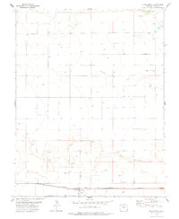 1978 Vilas North1978 Print · USGSThe high plains of Baca County come into focus in the late 1970s, centered on the railroad town of Vilas. Researchers can trace family sites at Vilas Cem and locate energy infrastructure like Gas Wells and the ATCHISON TOPEKA AND SANTA FE line.
 - 1978 Map of Vilas South, 1979 Print
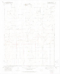 1978 Vilas South1979 Print · USGSSoutheastern Colorado’s high plains are mapped here in the late 1970s, showcasing a landscape of section-line roads and emerging energy infrastructure. Researchers can trace the development of the region through sites like Cottrell, the Pipeline, and numerous Gas Wells.
 - 1984 Map of Springfield
 1984 Springfield1984 Print · USGSThe high plains of Colorado and the neighboring corners of Kansas and Oklahoma are captured here in the mid-1980s. Genealogists and historians can trace the rail-tied growth of Springfield and Walsh or locate rural outposts like Bisonte, Edler, and Kirkwell.
 - 1996 Map of Vilas South, 2000 Print
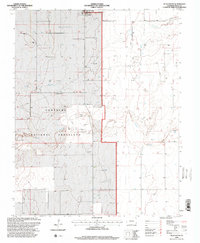 1996 Vilas South2000 Print · USGSSoutheast Colorado in the late twentieth century is defined by its open grasslands and energy development. Researchers can trace the layout of Vilas and locate remote infrastructure like the Pumping Station and various Gas Wells throughout the Comanche National Grassland.
End of results
Showing maps 1-7 of 7
Top cities near Vilas
Frequently asked questions
- What are the different types of historical maps available for Vilas?
- What is the oldest map of Vilas?
- Where can I purchase historical maps of Vilas for my home or office?
- Where can I download high-res historical maps of Vilas?
- Are there historical topographic maps available for Vilas?
- Is there historical aerial imagery available for Vilas?
- Where are historical maps of Vilas sourced from?