Old Maps of Ruxton, Colorado for Academic Research
Study the evolution of Ruxton with 12 high-resolution historic maps. Whether you're teaching, researching, or modeling changes in land use, these maps provide essential visual documentation of urban, environmental, and geographic change.
- Analyze long-term change: Track patterns in development, transportation, and natural features.
- Ideal for environmental or urban studies: Support academic projects with primary historical map data.
- Use in the classroom or lab: Educators and researchers rely on these maps to bring historical context to life.
These maps are a powerful tool for teaching, research, and visualizing how Ruxton has changed over the decades.
Ruxton, CO maps
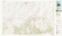
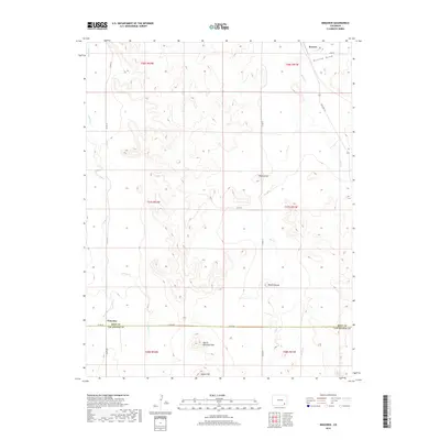
(12)- 1891 Map of Higbee
 1891 Higbee1891 Print · USGSSoutheastern Colorado’s high plains and canyon country are captured in the late 1880s, showcasing a frontier landscape. Trace early water sources like Alkali Springs and follow the deep cuts of Smith Canon near the isolated outpost of Higbee.
 - 1893 Map of Higbee
 1893 Higbee1893 Print · USGSSoutheastern Colorado’s canyon country is documented in the 1890s at the meeting point of Otero, Bent, and Las Animas counties. Genealogists and historians can trace early ranching footprints at JJ Ranch, the settlement at Higbee, and landmarks like Alkali Springs.6 unique versions available
 - 1955 Map of La Junta, 1966 Print
 1955 La Junta1966 Print · USGSSoutheastern Colorado during the mid-fifties is captured here as a sprawling network of ranching outposts and rail sidings. Researchers can locate vanished landmarks like the Sunderland School, trace the isolated Lycan Post Office, or find the Bomb target (abandoned) on the western plains.3 unique versions available
 - 1958 Map of La Junta
 1958 La Junta1958 Print · USGSSoutheast Colorado and the Kansas borderlands appear in the late fifties as a landscape of isolated ranching outposts and vital rail junctions. Researchers can trace the lineage of vanished post offices and rural school sites like the Lycan Post Office and Sunderland School.2 unique versions available
 - 1968 Map of La Junta
 1968 La Junta1968 Print · USGSSoutheastern Colorado and the high plains appear in remarkable detail during the late 1960s, showing the intersection of irrigation, ranching, and rail. Genealogists can trace family footprints at the Lycan Post Office, Konantz Cem, and across numerous named cattle ranches.
 - 1971 Map of Ninaview, 1973 Print
 1971 Ninaview1973 Print · USGSThe High Plains of southeastern Colorado in the early seventies reveal a landscape of isolated ranching outposts and dramatic geology. Trace family ties to the Ninaview area or study local landmarks like Pine Hill School and the Devils Rocking Chair.
 - 1982 Map of La Junta, 1983 Print
 1982 La Junta1983 Print · USGSSoutheast Colorado in the early eighties shows a high plains landscape defined by the historic Santa Fe Trail and the Atchison Topeka and Santa Fe rail lines. Researchers can trace rural outposts like Higbee and Timpas or the rugged canyonlands surrounding the Purgatoire River.
 - 2010 Map of Ninaview, 2010 Print
 2010 Ninaview2010 Print · USGSCovers Ruxton, including Las Animas County, Bent County, and other nearby areas
 - 2013 Map of Ninaview, 2013 Print
 2013 Ninaview2013 Print · USGSCovers Ruxton, including Las Animas County, Bent County, and other nearby areas
 - 2016 Map of Ninaview, 2016 Print
 2016 Ninaview2016 Print · USGSCovers Ruxton, including Las Animas County, Bent County, and other nearby areas
 - 2019 Map of Ninaview, 2019 Print
 2019 Ninaview2019 Print · USGSCovers Ruxton, including Las Animas County, Bent County, and other nearby areas
 - 2022 Map of Ninaview, 2022 Print
 2022 Ninaview2022 Print · USGSSoutheast Colorado's high plains near the Bent and Las Animas county line are documented here in the early twenty-first century. Genealogists and land researchers can trace the vicinity of Ninaview and Ruxton, locating landmarks like Devils Rocking Chair and Round Mound.
End of results
Showing maps 1-12 of 12
Frequently asked questions
- What are the different types of historical maps available for Ruxton?
- What is the oldest map of Ruxton?
- Where can I purchase historical maps of Ruxton for my home or office?
- Where can I download high-res historical maps of Ruxton?
- Are there historical topographic maps available for Ruxton?
- Is there historical aerial imagery available for Ruxton?
- Where are historical maps of Ruxton sourced from?