Old Maps of Jamestown, Colorado for Metal Detecting
Plan your next treasure hunt with 29 historic maps of Jamestown. Find old homesites, ghost towns, trails, and gathering spots that may be lost to time — perfect for identifying promising metal detecting locations.
- Locate forgotten sites: Uncover places like long-lost settlements, abandoned rail lines, or gathering spots.
- Plan better hunts: Use map overlays combined with LiDAR or satellite views to narrow in on historically rich areas.
- Made for detectorists: Thousands of hobbyists use these maps to discover relics, coins, and hidden history.
Use these historic maps to boost your research and find new opportunities beneath the surface of Jamestown.
Jamestown, CO maps
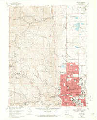
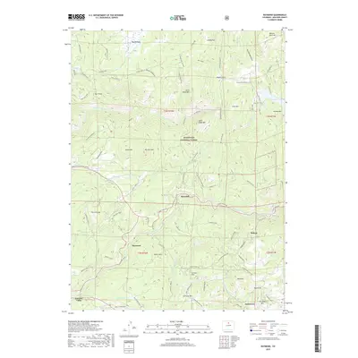
(29)- 1902 Map of Boulder, 1957 Print
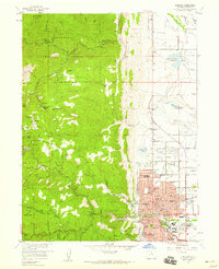
 1902 Boulder1957 Print · USGSThe Front Range foothills hum with mining and rail activity at the turn of the century. Genealogy researchers can trace families in old mining camps like Gold Hill, Wallstreet, and Sunshine, or follow the winding Colorado and Northwestern RR.
 - 1904 Map of Boulder
 1904 Boulder1904 Print · USGSThe Front Range foothills hum with mining activity at the start of the twentieth century, as narrow-gauge rails climb the canyons. Genealogists and historians can trace defunct rail stops and mining camps like Salina, Wallstreet, and Gold Hill Sta..6 unique versions available
 - 1954 Map of Greeley, 1966 Print
 1954 Greeley1966 Print · USGSNorthern Colorado transitions from high-alpine peaks to the irrigated South Platte valley during this mid-century period of growth. Genealogists and historians can trace rail-connected hubs like Greeley and Longmont alongside landmarks like Horsetooth Reservoir and Estes Park.3 unique versions available
 - 1957 Map of Greeley
 1957 Greeley1957 Print · USGSNorthern Colorado in the mid-fifties is captured here as the agricultural plains of Weld County meet the high peaks of the Front Range. Genealogists and historians can trace rail-linked towns like Keenesburg and Roggen or locate early water features such as Boyd Lake and Fossil Creek Reservoir.
 - 1957 Map of Boulder, 1959 Print
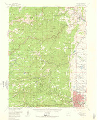
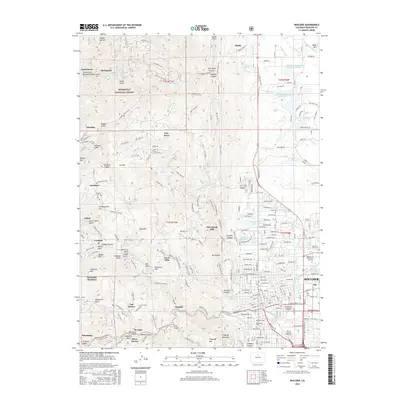
 1957 Boulder1959 Print · USGSBoulder and the Front Range foothills are shown during a time of mid-century expansion and active mining heritage. Trace the development of the University of Colorado and find numerous historic mines like the Sun and Moon Mine or Emancipation Mine.3 unique versions available
 - 1957 Map of Gold Hill, 1959 Print
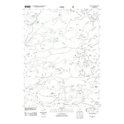
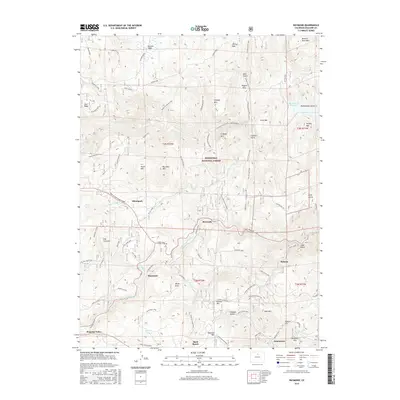
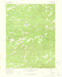 1957 Gold Hill1959 Print · USGSBoulder County's mining heartland is captured in the late fifties, showcasing a landscape defined by gold fever and high-altitude settlement. Researchers can trace the heritage of specific operations like the Ophir Mine or locate early mountain communities such as Jamestown and Wallstreet.7 unique versions available
 - 1957 Map of Raymond, 1959 Print
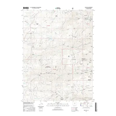
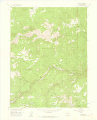 1957 Raymond1959 Print · USGSThe mountain canyons of Boulder County in the late fifties show a landscape transitioning from mining to forest recreation. Genealogists and historians can trace the foundations of Balarat, locate the Bunce Sch (Aband), and explore old workings at the Argo Mine.6 unique versions available
 - 1957 Map of Boulder, 1960 Print
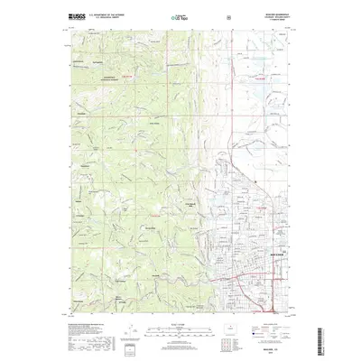
 1957 Boulder1960 Print · USGSBoulder and the surrounding mountain canyons are captured in the late fifties, showing a landscape defined by mining history and early settlement. Trace the footprints of old camps like Gold Hill and Wallstreet, or locate the historic Bunce School and Gresham (Site).3 unique versions available
 - 1958 Map of Greeley
 1958 Greeley1958 Print · USGSNorthern Colorado and the high peaks of the Front Range appear here in the mid-fifties as the region's agricultural and rail networks were fully established. Genealogists can locate family homes near Virginia Dale, Waverly, or Kuner, and trace the path of the Union Pacific Railroad through Greeley.
 - 1961 Map of Greeley
 1961 Greeley1961 Print · USGSNorthern Colorado's transition from high mountain peaks to irrigated plains is captured here just as the post-war population boom reached the Front Range. Researchers can trace early water infrastructure and rail lines like the Great Western RR connecting sugar beet hubs from Fort Collins to Greeley.
 - 1964 Map of Greeley
 1964 Greeley1964 Print · USGSThe Front Range corridor and high peaks of the Rockies appear here in the mid-1960s, showing the intersection of mountain wilderness and plains agriculture. Trace the rail routes of the Great Western RR or locate landmarks like Longs Peak and Horsetooth Reservoir.
 - 1965 Map of Greeley
 1965 Greeley1965 Print · USGSNorthern Colorado in the mid-sixties shows a landscape defined by high mountain summits and the growing irrigation networks of the plains. Genealogists and historians can trace rail-side towns like Wellington or follow the early tracks of the Union Pacific Railroad past Longs Peak.
 - 1966 Map of Boulder, 1968 Print
 1966 Boulder1968 Print · USGSThe mid-sixties city of Boulder and its rugged western foothills are documented here during a decade of rapid growth. Trace the development of the University of Colorado campus and find historic mining sites like the Poorman Mine or early settlements such as Salina.5 unique versions available
 - 1984 Map of Estes Park
 1984 Estes Park1984 Print · USGSThe northern Front Range and high peaks come into focus during the mid-eighties, showing the intersection of mountain wilderness and urban expansion. Trace the rail lines of the Union Pacific, the shores of Lake Granby, and historic mountain towns like Gold Hill or Eldora.3 unique versions available
 - 2011 Map of Raymond, 2011 Print
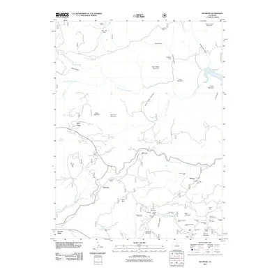 2011 Raymond2011 Print · USGSCovers Jamestown, including Peaceful Valley, Balarat, and other nearby areas
 - 2011 Map of Boulder, 2011 Print
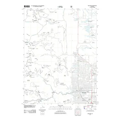 2011 Boulder2011 Print · USGSCovers Jamestown, including Boulder, Orodell, and other nearby areas
 - 2011 Map of Gold Hill, 2011 Print
 2011 Gold Hill2011 Print · USGSCovers Jamestown, including Silver Springs, Sugarloaf, and other nearby areas
 - 2013 Map of Raymond, 2013 Print
 2013 Raymond2013 Print · USGSCovers Jamestown, including Peaceful Valley, Balarat, and other nearby areas
 - 2013 Map of Boulder, 2013 Print
 2013 Boulder2013 Print · USGSCovers Jamestown, including Boulder, Orodell, and other nearby areas
 - 2013 Map of Gold Hill, 2013 Print
 2013 Gold Hill2013 Print · USGSCovers Jamestown, including Silver Springs, Sugarloaf, and other nearby areas
 - 2016 Map of Raymond, 2016 Print
 2016 Raymond2016 Print · USGSCovers Jamestown, including Peaceful Valley, Balarat, and other nearby areas
 - 2016 Map of Boulder, 2016 Print
 2016 Boulder2016 Print · USGSCovers Jamestown, including Boulder, Orodell, and other nearby areas
 - 2016 Map of Gold Hill, 2016 Print
 2016 Gold Hill2016 Print · USGSCovers Jamestown, including Silver Springs, Sugarloaf, and other nearby areas
 - 2019 Map of Boulder, 2019 Print
 2019 Boulder2019 Print · USGSCovers Jamestown, including Boulder, Orodell, and other nearby areas
 - 2019 Map of Raymond, 2019 Print
 2019 Raymond2019 Print · USGSCovers Jamestown, including Peaceful Valley, Balarat, and other nearby areas
Showing maps 1-25 of 29
Top cities near Jamestown
- Westminster historical maps
- Boulder historical maps
- Longmont historical maps
- Louisville historical maps
- Estes Park historical maps
- Lyons historical maps
See more
Frequently asked questions
- What are the different types of historical maps available for Jamestown?
- What is the oldest map of Jamestown?
- Where can I purchase historical maps of Jamestown for my home or office?
- Where can I download high-res historical maps of Jamestown?
- Are there historical topographic maps available for Jamestown?
- Is there historical aerial imagery available for Jamestown?
- Where are historical maps of Jamestown sourced from?