Old Maps of San Isabel, Colorado for Genealogy
Trace your family roots with 15 historic maps of San Isabel. These high-res maps reveal old neighborhoods, homesites, landmarks, and streets — helping you uncover where your ancestors lived and how the area evolved over time.
- Explore historic neighborhoods: Identify where your relatives may have lived in the 1800s or 1900s.
- Compare maps over time: Trace the changes in streets, buildings, and landmarks for multi-generational research.
- Perfect for genealogy & ancestry research: Used by family historians and researchers to map out lineage and migration.
These maps are an incredible resource for exploring your personal connection to San Isabel's past.
San Isabel, CO maps
(15)- 1889 Map of Huerfano Park, 1961 Print
 1889 Huerfano Park1961 Print · USGSHuerfano County and the high peaks of the Sangre de Cristos are captured here in the late nineteenth century. Trace the early tracks of the Denver and Rio Grande Railroad and locate vanished outposts like Sharpsdale and Malachite.
 - 1892 Map of Huerfano Park
 1892 Huerfano Park1892 Print · USGSSouthern Colorado mountain life is captured here in the late nineteenth century, showing the early settlements and rail lines of the Huerfano region. Researchers can trace the path of the Denver and Rio Grande Railroad and locate vanished stops at Malachite, Sharpsdale, and Placer.5 unique versions available
 - 1954 Map of Trinidad, 1963 Print
 1954 Trinidad1963 Print · USGSSouthern Colorado is captured here during the mid-fifties, showing the vital rail-and-river connections between the San Luis Valley and the eastern foothills. Researchers can trace the Denver and Rio Grande Western line and locate rural landmarks like Malachite School and San Luis.2 unique versions available
 - 1955 Map of Trinidad, 1976 Print
 1955 Trinidad1976 Print · USGSSouthern Colorado during the mid-fifties is defined by the high-altitude agriculture of the San Luis Valley and the peaks of the Culebra Range. Genealogists can trace early settlements and rural schoolhouses like Medina Plaza, San Luis, and the Trujillo Creek School.
 - 1958 Map of Trinidad
 1958 Trinidad1958 Print · USGSSouthern Colorado in the late fifties was a landscape of high-altitude agriculture and coal production, centered on the San Luis Valley. Local historians can trace old community centers like the Malachite School or follow the mining and rail activity near Walsenburg and the Allen Mine.
 - 1959 Map of Trinidad
 1959 Trinidad1959 Print · USGSThe San Luis Valley and the high Sangre de Cristo peaks are documented here in the late fifties, during a period of steady ranching and rail activity. Genealogy researchers can locate family-named landmarks and rural institutions like Trujillo Creek School and the historic San Luis settlement.
 - 1969 Map of San Isabel, 1973 Print
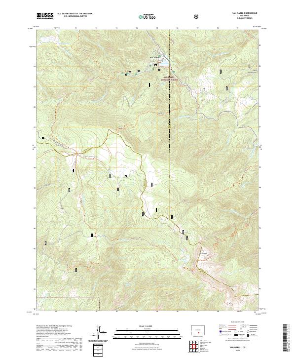
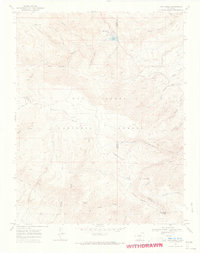 1969 San Isabel1973 Print · USGSThe high Sangre de Cristo foothills near the Custer and Pueblo county lines are captured here in the late sixties. Researchers can trace historic mountain routes like the Cisneros Trail and Bartlett Trail or locate landmarks such as Rooster Spring and Lazy Acres Camp.2 unique versions available
 - 1982 Map of Blanca Peak, 1983 Print
 1982 Blanca Peak1983 Print · USGSThe Sangre de Cristo range reaches its highest elevations in the early 1980s, towering over the shifting landscapes of the San Luis Valley. Researchers can trace the path of the Denver and Rio Grande Western railroad or locate remote settlements like Crestone, Sharpsdale, and Gardner.2 unique versions available
 - 1988 Map of Trinidad
 1988 Trinidad1988 Print · USGSSouthern Colorado in the late eighties reveals a landscape of high-altitude farming and mountain rail corridors. Genealogists and historians can trace the foundations of San Luis and Fort Garland or find old stops on the D & R G W RR and A T & S F Ry.
 - 1994 Map of San Isabel, 1998 Print
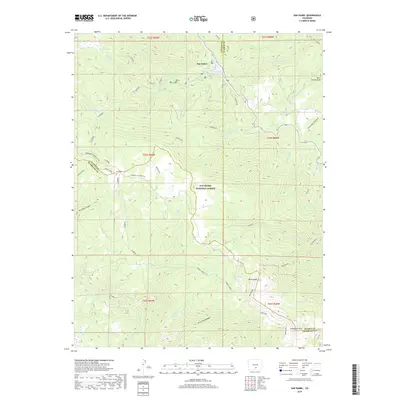
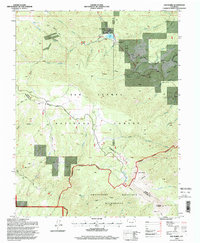 1994 San Isabel1998 Print · USGSThe high Sangre de Cristo foothills and the San Isabel National Forest appear here in the mid-1990s. Researchers can trace the drainage of Greenhorn Creek, locate Rooster Spring, or find early recreational sites like Lazy Acres Camp and Lake Isabel.
 - 2011 Map of San Isabel, 2011 Print
 2011 San Isabel2011 Print · USGSCovers San Isabel, including Pueblo County, Huerfano County, and other nearby areas
 - 2013 Map of San Isabel, 2013 Print
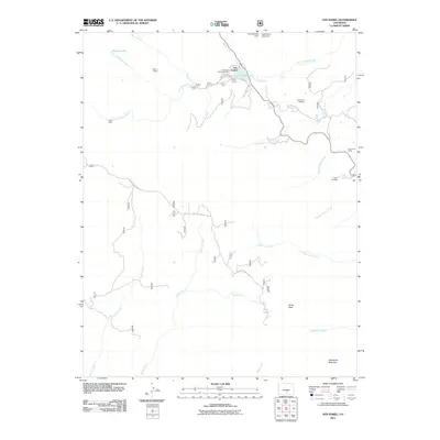
 2013 San Isabel2013 Print · USGSCovers San Isabel, including Pueblo County, Huerfano County, and other nearby areas
 - 2016 Map of San Isabel, 2016 Print
 2016 San Isabel2016 Print · USGSCovers San Isabel, including Pueblo County, Huerfano County, and other nearby areas
 - 2019 Map of San Isabel, 2019 Print
 2019 San Isabel2019 Print · USGSCovers San Isabel, including Pueblo County, Huerfano County, and other nearby areas
 - 2022 Map of San Isabel, 2022 Print
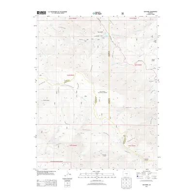
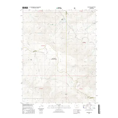
 2022 San Isabel2022 Print · USGSCuster County's mountain interior and the village of San Isabel are shown in detail as they appeared in 2022. Local researchers can trace family-named pathways like Cisneros Trl and Bartlett Trl or locate remote landmarks including Rooster Spring and Marion Lake.
End of results
Showing maps 1-15 of 15
Top cities near San Isabel
Frequently asked questions
- What are the different types of historical maps available for San Isabel?
- What is the oldest map of San Isabel?
- Where can I purchase historical maps of San Isabel for my home or office?
- Where can I download high-res historical maps of San Isabel?
- Are there historical topographic maps available for San Isabel?
- Is there historical aerial imagery available for San Isabel?
- Where are historical maps of San Isabel sourced from?