Old Maps of Highland, Denver for Genealogy
Trace your family roots with 19 historic maps of Highland. These high-res maps reveal old neighborhoods, homesites, landmarks, and streets — helping you uncover where your ancestors lived and how the area evolved over time.
- Explore historic neighborhoods: Identify where your relatives may have lived in the 1800s or 1900s.
- Compare maps over time: Trace the changes in streets, buildings, and landmarks for multi-generational research.
- Perfect for genealogy & ancestry research: Used by family historians and researchers to map out lineage and migration.
These maps are an incredible resource for exploring your personal connection to Highland's past.
Highland, Denver maps
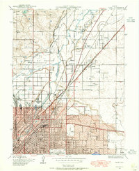
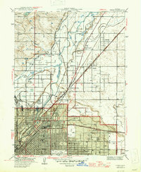
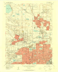
(19)- 1890 Map of East Denver
 1890 East Denver1890 Print · USGSCovers Highland, including Denver, Aurora, and other nearby areas
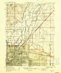
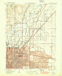
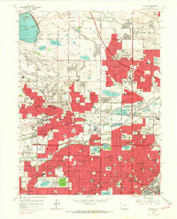
 - 1899 Map of West Denver
 1899 West Denver1899 Print · USGSCovers Highland, including Lakewood, Thornton, and other nearby areas
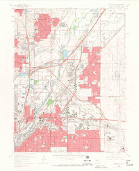
 - 1938 Map of Derby, 1955 Print
 1938 Derby1955 Print · USGSCovers Highland, including Aurora, Thornton, and other nearby areas
 - 1940 Map of Derby
 1940 Derby1940 Print · USGSCovers Highland, including Aurora, Thornton, and other nearby areas2 unique versions available
 - 1941 Map of Arvada
 1941 Arvada1941 Print · USGSCovers Highland, including Lakewood, Thornton, and other nearby areas
 - 1944 Map of Arvada
 1944 Arvada1944 Print · USGSCovers Highland, including Lakewood, Thornton, and other nearby areas
 - 1947 Map of Derby
 1947 Derby1947 Print · USGSCovers Highland, including Aurora, Thornton, and other nearby areas2 unique versions available
 - 1950 Map of Derby
 1950 Derby1950 Print · USGSCovers Highland, including Aurora, Thornton, and other nearby areas
 - 1950 Map of Arvada
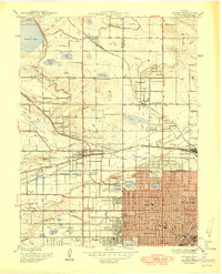 1950 Arvada1950 Print · USGSCovers Highland, including Lakewood, Thornton, and other nearby areas
 - 1953 Map of Denver, 1964 Print
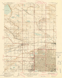
 1953 Denver1964 Print · USGSCovers Highland, including Denver, Colorado Springs, and other nearby areas6 unique versions available
 - 1957 Map of Denver
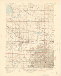
 1957 Denver1957 Print · USGSCovers Highland, including Denver, Colorado Springs, and other nearby areas
 - 1957 Map of Derby, 1958 Print
 1957 Derby1958 Print · USGSCovers Highland, including Aurora, Thornton, and other nearby areas3 unique versions available
 - 1957 Map of Arvada, 1958 Print
 1957 Arvada1958 Print · USGSCovers Highland, including Lakewood, Thornton, and other nearby areas3 unique versions available
 - 1958 Map of Denver
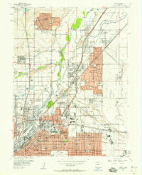
 1958 Denver1958 Print · USGSCovers Highland, including Denver, Colorado Springs, and other nearby areas
 - 1960 Map of Denver
 1960 Denver1960 Print · USGSCovers Highland, including Denver, Colorado Springs, and other nearby areas
 - 1965 Map of Arvada, 1967 Print
 1965 Arvada1967 Print · USGSCovers Highland, including Lakewood, Thornton, and other nearby areas6 unique versions available
 - 1965 Map of Commerce City, 1967 Print
 1965 Commerce City1967 Print · USGSCovers Highland, including Aurora, Thornton, and other nearby areas7 unique versions available
 - 1981 Map of Denver East
 1981 Denver East1981 Print · USGSCovers Highland, including Denver, Aurora, and other nearby areas2 unique versions available
 - 1983 Map of Denver West
 1983 Denver West1983 Print · USGSCovers Highland, including Lakewood, Thornton, and other nearby areas2 unique versions available
End of results
Showing maps 1-19 of 19
Frequently asked questions
- What are the different types of historical maps available for Highland?
- What is the oldest map of Highland?
- Where can I purchase historical maps of Highland for my home or office?
- Where can I download high-res historical maps of Highland?
- Are there historical topographic maps available for Highland?
- Is there historical aerial imagery available for Highland?
- Where are historical maps of Highland sourced from?