Old Maps of Montbello, Denver for Hiking & Exploration
Hike through history with 17 historic maps of Montbello. Explore old trails, ghost towns, and forgotten backroads — perfect for outdoor adventurers and local explorers.
- Rediscover forgotten places: Map out old mining camps, roads, and footpaths that no longer exist on modern maps.
- Layer with modern tools: Combine with LiDAR or satellite views to plan hikes through historical terrain.
- Made for exploration: Popular among hikers, overlanders, and local history lovers.
Use these maps to find adventure and explore the hidden past of Montbello.
Montbello, Denver maps
(17)- 1890 Map of East Denver
 1890 East Denver1890 Print · USGSDenver and the surrounding plains are captured in the late frontier era as a complex web of irrigation canals and iron rails. Researchers can trace early water systems like the High Line Ditch or locate early settlements such as Parker's and Scranton.
 - 1938 Map of Long Branch, 1957 Print
 1938 Long Branch1957 Print · USGSThe outskirts of Denver in the late 1930s reveal a landscape of military installations, rail lines, and irrigation works. Trace the early boundaries of Aurora and locate local landmarks like Rose Hill Sch and Fitzsimons General Hospital.
 - 1941 Map of Long Branch
 1941 Long Branch1941 Print · USGSThe high plains of Adams County were undergoing a period of vital irrigation and military growth just before the mid-century. Researchers can trace the early layout of Aurora, the massive Fitzsimons General Hospital campus, and the rural rail stops at Sable and Irondale.
 - 1948 Map of Long Branch
 1948 Long Branch1948 Print · USGSEast of Denver in the late 1940s, this area shows a landscape of military hospitals and emerging settlements tied to the rail lines. Trace the grounds of Fitzsimons General Hospital or follow the Highline Canal past Irondale and Sable.
 - 1953 Map of Denver, 1964 Print
 1953 Denver1964 Print · USGSDenver and the Colorado Front Range are captured here during a decade of post-war growth and military expansion. Researchers can trace the sprawling rail lines of the Union Pacific, locate the State Capitol, and explore historic mountain mining hubs like Central City.6 unique versions available
 - 1957 Map of Denver
 1957 Denver1957 Print · USGSDenver and the Colorado Front Range are seen here during a mid-century period of intense military and urban expansion. Trace the footprints of the Rocky Mountain Arsenal, the early United States Air Force Academy, and the Lowry AF Base.
 - 1957 Map of Sable, 1958 Print
 1957 Sable1958 Print · USGSThe outskirts of Denver and Aurora are captured in the late 1950s during a period of significant military and aviation growth. Researchers can trace the massive Rocky Mountain Arsenal, the sprawl of Fitzsimons Army Hospital, and the early layout of Stapleton Municipal Airport.2 unique versions available
 - 1958 Map of Denver
 1958 Denver1958 Print · USGSDenver and the Colorado Front Range are captured here during the mid-century suburban boom. Trace the footprints of military installations like Buckley Air Force Base alongside the established rail networks of the Colorado & Southern Ry.
 - 1960 Map of Denver
 1960 Denver1960 Print · USGSDenver and the Colorado Front Range are seen here at a pivotal moment of postwar expansion into the plains and foothills. Researchers can trace the mid-century rail network of the Denver & Rio Grande Western RR and locate historic institutional landmarks like Buckley Field and the Colorado School of Mines.
 - 1965 Map of Sable, 1966 Print
 1965 Sable1966 Print · USGSMid-century Adams County shows the rapid eastward growth of Denver and Aurora as suburban neighborhoods meet massive federal installations. Trace the boundaries of the Rocky Mountain Arsenal and locate vanished landmarks like Sable and the Sky Ranch Airport.7 unique versions available
 - 1972 Map of Long Branch
 1972 Long Branch1972 Print · USGSThe High Plains east of Denver show a mix of early suburban growth and sprawling military infrastructure in the years following the war. Researchers can trace the layout of the Fitzsimons General Hospital and find long-standing rural landmarks like Rose Hill Sch and the Irondale settlement.
 - 1981 Map of Denver East
 1981 Denver East1981 Print · USGSEastern Colorado comes alive in the early eighties as the Front Range urban corridor pushes into the plains. Genealogists and historians can trace the growth of Aurora and Brighton alongside the historic Union Pacific line and the massive Rocky Mountain Arsenal.2 unique versions available
 - 2010 Map of Montbello, 2010 Print
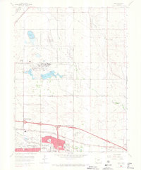
 2010 Montbello2010 Print · USGSCovers Montbello, including Aurora, Commerce City, and other nearby areas
 - 2013 Map of Montbello, 2013 Print
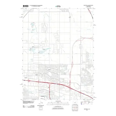
 2013 Montbello2013 Print · USGSCovers Montbello, including Aurora, Commerce City, and other nearby areas
 - 2016 Map of Montbello, 2016 Print
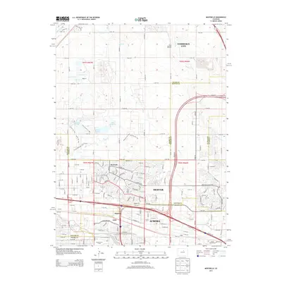
 2016 Montbello2016 Print · USGSCovers Montbello, including Aurora, Commerce City, and other nearby areas
 - 2019 Map of Montbello, 2019 Print
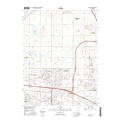
 2019 Montbello2019 Print · USGSCovers Montbello, including Aurora, Commerce City, and other nearby areas
 - 2022 Map of Montbello, 2022 Print
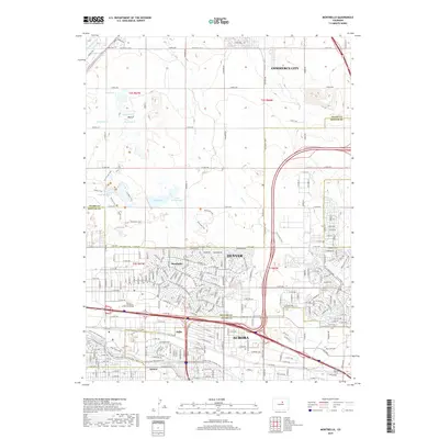
 2022 Montbello2022 Print · USGSGreater Denver at the start of the 2020s shows a landscape of rapid suburban integration and complex water infrastructure. Trace the routes of the High Line Canal and the Union Pacific RR as they pass through Montbello and Sable.
End of results
Showing maps 1-17 of 17
Frequently asked questions
- What are the different types of historical maps available for Montbello?
- What is the oldest map of Montbello?
- Where can I purchase historical maps of Montbello for my home or office?
- Where can I download high-res historical maps of Montbello?
- Are there historical topographic maps available for Montbello?
- Is there historical aerial imagery available for Montbello?
- Where are historical maps of Montbello sourced from?