Old Maps of Moonridge, Colorado for Genealogy
Trace your family roots with 13 historic maps of Moonridge. These high-res maps reveal old neighborhoods, homesites, landmarks, and streets — helping you uncover where your ancestors lived and how the area evolved over time.
- Explore historic neighborhoods: Identify where your relatives may have lived in the 1800s or 1900s.
- Compare maps over time: Trace the changes in streets, buildings, and landmarks for multi-generational research.
- Perfect for genealogy & ancestry research: Used by family historians and researchers to map out lineage and migration.
These maps are an incredible resource for exploring your personal connection to Moonridge's past.
Moonridge, CO maps
(13)- 1893 Map of Platte Canyon
 1893 Platte Canyon1893 Print · USGSThe Front Range highlands come to life in the 1890s as the narrow-gauge Denver South Park and Pacific RR snakes through the mountains. Trace early mountain settlements like Pine Grove and Estabrook along the steep turns of South Platte Canyon.8 unique versions available
 - 1953 Map of Denver, 1964 Print
 1953 Denver1964 Print · USGSDenver and the Colorado Front Range are captured here during a decade of post-war growth and military expansion. Researchers can trace the sprawling rail lines of the Union Pacific, locate the State Capitol, and explore historic mountain mining hubs like Central City.6 unique versions available
 - 1954 Map of Devils Head, 1955 Print
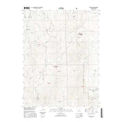
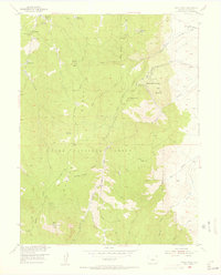 1954 Devils Head1955 Print · USGSThe Rampart Range comes to life in the mid-1950s, showing a mix of rugged ranching and spiritual seclusion. Trace the locations of Shamballah-Ashrama, the Devils Head Lookout Tower, and the Hy-Way Hereford Ranch.9 unique versions available
 - 1957 Map of Denver
 1957 Denver1957 Print · USGSDenver and the Colorado Front Range are seen here during a mid-century period of intense military and urban expansion. Trace the footprints of the Rocky Mountain Arsenal, the early United States Air Force Academy, and the Lowry AF Base.
 - 1958 Map of Denver
 1958 Denver1958 Print · USGSDenver and the Colorado Front Range are captured here during the mid-century suburban boom. Trace the footprints of military installations like Buckley Air Force Base alongside the established rail networks of the Colorado & Southern Ry.
 - 1960 Map of Denver
 1960 Denver1960 Print · USGSDenver and the Colorado Front Range are seen here at a pivotal moment of postwar expansion into the plains and foothills. Researchers can trace the mid-century rail network of the Denver & Rio Grande Western RR and locate historic institutional landmarks like Buckley Field and the Colorado School of Mines.
 - 1983 Map of Bailey
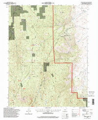
 1983 Bailey1983 Print · USGSPark County and the high Front Range are captured here during the early 1980s as traditional mountain settlements met new development patterns. Genealogists and researchers can trace the Denver and Rio Grande Western Railroad and old mountain hamlets like Bailey, Webster, and Garo.2 unique versions available
 - 1994 Map of Devils Head, 1998 Print
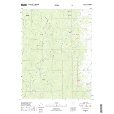
 1994 Devils Head1998 Print · USGSThe Front Range in the mid-nineties shows a unique blend of spiritual retreats and forest management. Trace the legacy of Shamballah-Ashrama, the iconic Devils Head Lookout, and the ranching roots at Round-Up Ranch.
 - 2011 Map of Devils Head, 2011 Print
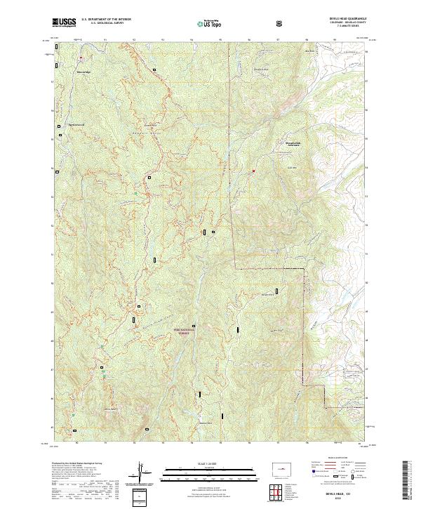
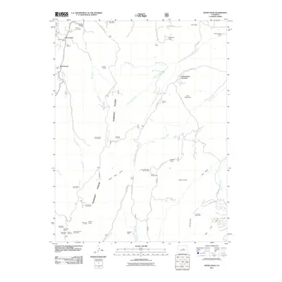 2011 Devils Head2011 Print · USGSCovers Moonridge, including Sprucewood, Shamballah-Ashrama, and other nearby areas
 - 2013 Map of Devils Head, 2013 Print
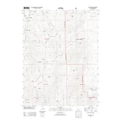 2013 Devils Head2013 Print · USGSCovers Moonridge, including Sprucewood, Shamballah-Ashrama, and other nearby areas
 - 2016 Map of Devils Head, 2016 Print
 2016 Devils Head2016 Print · USGSCovers Moonridge, including Sprucewood, Shamballah-Ashrama, and other nearby areas
 - 2019 Map of Devils Head, 2019 Print
 2019 Devils Head2019 Print · USGSCovers Moonridge, including Sprucewood, Shamballah-Ashrama, and other nearby areas
 - 2022 Map of Devils Head, 2022 Print
 2022 Devils Head2022 Print · USGSThe Rampart Range comes into sharp focus during the early 2020s, revealing a complex landscape of forest service trails and high-altitude settlements. Trace the geography of Shamballah-Ashrama, the heights of Devils Head, and the remote reaches of Watson Park.
End of results
Showing maps 1-13 of 13
Top cities near Moonridge
- Highlands Ranch historical maps
- Centennial historical maps
- Castle Rock historical maps
- Littleton historical maps
- Greenwood Village historical maps
- Lone Tree historical maps
See more
Frequently asked questions
- What are the different types of historical maps available for Moonridge?
- What is the oldest map of Moonridge?
- Where can I purchase historical maps of Moonridge for my home or office?
- Where can I download high-res historical maps of Moonridge?
- Are there historical topographic maps available for Moonridge?
- Is there historical aerial imagery available for Moonridge?
- Where are historical maps of Moonridge sourced from?