2000s (21st Century) Maps of Bachelor Gulch, Colorado
Explore 10 historic maps of Bachelor Gulch from the 2000s (21st Century). These maps offer a rare glimpse into what life looked like during the 2000s — showing old roads, neighborhoods, homes, and landmarks that have changed or disappeared over time.
Whether you're researching your family's past, planning a metal detecting trip, or studying how Bachelor Gulch's landscape evolved across the 2000s, these high-resolution maps are a powerful tool for exploring the history of this region.
- Focus on a specific era: All maps on this page are from the 2000s, giving you a focused view of this time period.
- See what’s changed: Compare century-old streets, trails, and buildings to today's modern landscape using overlays and satellite layers.
- Research with precision: Use these maps for genealogy, historical research, land use analysis, or educational projects.
- View, download, or print: Maps are fully viewable online in high resolution, and can be downloaded or printed for your own records.
Start exploring Bachelor Gulch's history through authentic maps from the 2000s. This is your window into the past.
Bachelor Gulch, CO maps
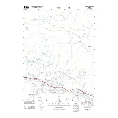
(10)- 2011 Map of Grouse Mountain, 2011 Print
 2011 Grouse Mountain2011 Print · USGSCovers Bachelor Gulch, including Avon, Arrowhead Village, and other nearby areas
 - 2011 Map of Edwards, 2011 Print
 2011 Edwards2011 Print · USGSCovers Bachelor Gulch, including Edwards, Avon, and other nearby areas
 - 2013 Map of Edwards, 2013 Print
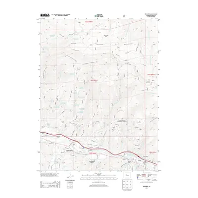 2013 Edwards2013 Print · USGSCovers Bachelor Gulch, including Edwards, Avon, and other nearby areas
 - 2013 Map of Grouse Mountain, 2013 Print
 2013 Grouse Mountain2013 Print · USGSCovers Bachelor Gulch, including Avon, Arrowhead Village, and other nearby areas
 - 2016 Map of Grouse Mountain, 2016 Print
 2016 Grouse Mountain2016 Print · USGSCovers Bachelor Gulch, including Avon, Arrowhead Village, and other nearby areas
 - 2016 Map of Edwards, 2016 Print
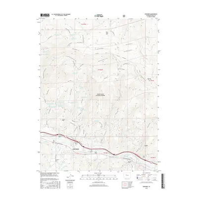 2016 Edwards2016 Print · USGSCovers Bachelor Gulch, including Edwards, Avon, and other nearby areas
 - 2019 Map of Grouse Mountain, 2019 Print
 2019 Grouse Mountain2019 Print · USGSCovers Bachelor Gulch, including Avon, Arrowhead Village, and other nearby areas
 - 2019 Map of Edwards, 2019 Print
 2019 Edwards2019 Print · USGSCovers Bachelor Gulch, including Edwards, Avon, and other nearby areas
 - 2022 Map of Edwards, 2022 Print
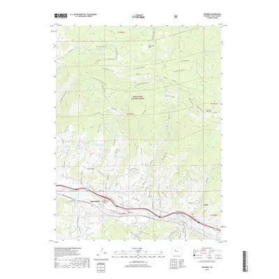
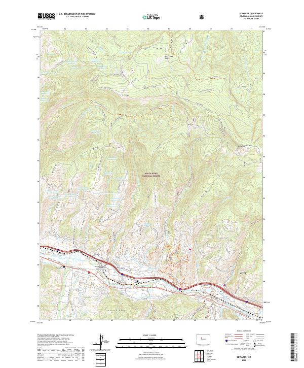 2022 Edwards2022 Print · USGSThe Eagle River valley and the Sawatch Range are captured here in a period of modern mountain development and preserved wilderness. Researchers can locate family landmarks like the Brett Family Cem or trace high-country trails including Cache Creek Way and the Red Canyon Stock Driveway Trl.
 - 2022 Map of Grouse Mountain, 2022 Print
 2022 Grouse Mountain2022 Print · USGSThe high peaks of the Sawatch Range meet the recreational corridors of Eagle County in the early twenty-first century. Outdoorsmen and historians can trace the development of the Beaver Creek Ski Area and remote alpine waters like Polar Star Lake and Rainbow Lake.
End of results
Showing maps 1-10 of 10
Top cities near Bachelor Gulch
- Edwards historical maps
- Avon historical maps
- Vail historical maps
- Minturn historical maps
- Red Cliff historical maps
Frequently asked questions
- What are the different types of historical maps available for Bachelor Gulch?
- What is the oldest map of Bachelor Gulch?
- Where can I purchase historical maps of Bachelor Gulch for my home or office?
- Where can I download high-res historical maps of Bachelor Gulch?
- Are there historical topographic maps available for Bachelor Gulch?
- Is there historical aerial imagery available for Bachelor Gulch?
- Where are historical maps of Bachelor Gulch sourced from?