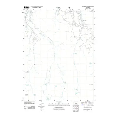
2011 Map of Grouse Mountain
USGS Topo · Published 2011About this map
Bachelor Gulch Village and Beaver Creek Village anchor the northeastern portion of this Eagle County high-country landscape, documenting the sophisticated resort infrastructure of the early 21st century. The map illustrates the complex network of ski runs and lifts within the Beaver Creek Ski Area, including specific waypoints like Lift 9 Mid-Point and Top Lift 7. Beyond the developed village centers, the terrain is marked by a deep history of water management and resource extraction, evidenced by features such as the Bragg Number 1 Ditch, Lui Hopper Ditch, and the Avon Mine.
Find a feature on this map
64 named features on this map. Tap any name to fly to it.
Don’t see what you’re looking for? This feature index may not catch every label — zoom into the map to look around manually.
Map Details
Editions of this 2011 Grouse Mountain Map
This is the sole edition of this map. No revisions or reprints were ever made.
Other maps of this area

1889 · Leadville
USGS Topo · 1:125,000

1891 · Leadville
USGS Topo · 1:125,000

1909 · Mount Jackson
USGS Topo · 1:125,000

1911 · Mount Jackson
USGS Topo · 1:125,000

1934 · Minturn
USGS Topo · 1:62,500

1942 · Leadville
USGS Topo · 1:125,000

1949 · Holy Cross
USGS Topo · 1:62,500

1950 · Minturn
USGS Topo · 1:62,500

1951 · Holy Cross
USGS Topo · 1:62,500

1957 · Leadville
USGS Topo · 1:250,000