
1950 Map of Minturn
USGS Topo · Published 1966About this map
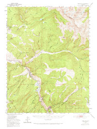
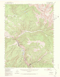
Minturn sits at the junction of the Eagle River and Gore Creek, serving as a vital hub for the Denver and Rio Grande Western railroad in this mid-century period. The steep canyon south of town contains the mining community of Gilman and the rail stop at Belden, where industrial infrastructure like a Sawmill, a Water Tank, and a Settling Basin near Bolts Lake demonstrate the heavy extractive activity of the era. To the southeast, the Camp Hale Military Reservation occupies the high valley floor, marking the significant military presence in the Sawatch Mountains following the war. Beyond the industrial corridors, the map reveals isolated outposts like Dickson Ranch and the Gore Creek School, while the vast White River National Forest and Arapaho National Forest surround the high peaks of the Gor Range.
Find a feature on this map
73 named features on this map. Tap any name to fly to it.
Don’t see what you’re looking for? This feature index may not catch every label — zoom into the map to look around manually.
Map Details
Editions of this 1950 Minturn Map
3 editions found
Other maps of this area

1889 · Leadville
USGS Topo · 1:125,000

1891 · Leadville
USGS Topo · 1:125,000

1909 · Mount Jackson
USGS Topo · 1:125,000

1911 · Mount Jackson
USGS Topo · 1:125,000

1929 · Dillon
USGS Topo · 1:62,500

1933 · Mt. Powell
USGS Topo · 1:48,000

1933 · Ute Peak
USGS Topo · 1:62,500

1934 · Climax
USGS Topo · 1:48,000

1934 · Minturn
USGS Topo · 1:62,500

1934 · Dillon
USGS Topo · 1:62,500