
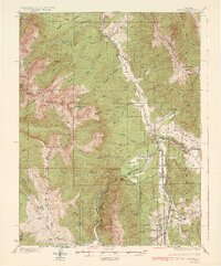
1934 Map of Dillon
USGS Topo · Published 1934About this map
Dillon and Dickey occupy the central valley floor decades before the construction of the reservoir that would eventually alter this landscape. At this time, the Snake River and Blue River meet near the townsite, flanked by the Gore Range to the west and the Williams River Mountains to the northeast. The map documents a critical transportation junction where the Colorado and Southern and the Denver and Rio Grande Western (Narrow Gage) railroads converge. High-altitude industry and access are evidenced by the Boss Mine on Keller Mtn and the winding route of State Highway No 9. Smaller settlements like Valdoro, Braddocks, and Delaware Flats dot the southern valley near the Swan River, while the Dickey Ranger Sta serves as a lone administrative outpost in a region dominated by peaks like Buffalo Mtn and Ptarmigan Peak.
Find a feature on this map
72 named features on this map. Tap any name to fly to it.
Don’t see what you’re looking for? This feature index may not catch every label — zoom into the map to look around manually.
Map Details
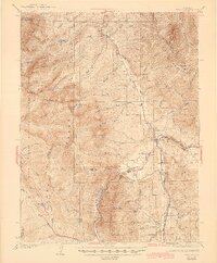
Editions of this 1934 Dillon Map
3 editions found
Other maps of this area

1889 · Leadville
USGS Topo · 1:125,000

1891 · Leadville
USGS Topo · 1:125,000

1924 · Montezuma
USGS Topo · 1:62,500

1924 · Fraser
USGS Topo · 1:62,500

1926 · Fraser
USGS Topo · 1:62,500

1926 · Montezuma
USGS Topo · 1:62,500

1929 · Dillon
USGS Topo · 1:62,500

1933 · Mt. Powell
USGS Topo · 1:48,000

1933 · Montezuma
USGS Topo · 1:62,500

1933 · Ute Peak
USGS Topo · 1:62,500