
1933 Map of Montezuma
USGS Topo · Published 1956About this map
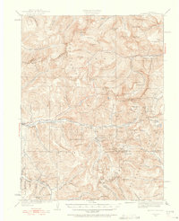
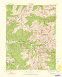
Montezuma and the surrounding high-altitude mining districts are documented here in the early 1930s, showing a landscape defined by deep gulches and the high peaks of the Continental Divide. The map captures a transition era in the Colorado Rockies, where established industrial operations like the Waldorf Mine and the Hamill Mine sat alongside the evolving road networks of Loveland Pass and Argentine Pass. A power transmission line cuts through the mountains near Keystone, signaling the modernization of infrastructure across these steep grades. Early settlements such as Tiger, Swandyke, and Bakerville are shown in relation to the complex hydrology of the North Fork Snake River and Clear Creek. The survey also marks numerous United States Location Monuments, including USLM Decatur and USLM Adrian, which served as critical reference points for the dense network of mining claims that once blanketed this mineral-rich region.
Find a feature on this map
133 named features on this map. Tap any name to fly to it.
Don’t see what you’re looking for? This feature index may not catch every label — zoom into the map to look around manually.
Map Details
Editions of this 1933 Montezuma Map
Other maps of this area

1889 · Leadville
USGS Topo · 1:125,000

1891 · Leadville
USGS Topo · 1:125,000

1903 · Georgetown
USGS Topo · 1:62,500

1905 · Central City
USGS Topo · 1:62,500

1905 · Georgetown
USGS Topo · 1:62,500

1910 · Central City
USGS Topo · 1:62,500

1912 · Central City
USGS Topo · 1:62,500

1924 · Montezuma
USGS Topo · 1:62,500

1924 · Fraser
USGS Topo · 1:62,500

1926 · Fraser
USGS Topo · 1:62,500