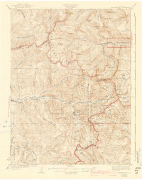
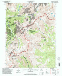
1933 Map of Montezuma
USGS Topo · Published 1960About this map
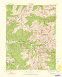
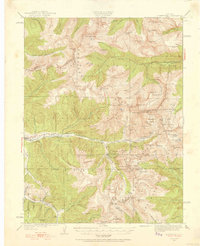
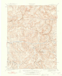
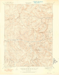
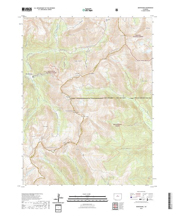
Montezuma and Keystone serve as the primary hubs in this high-altitude landscape of the Continental Divide, where the complex geology of the Williams River Mountains meets the mining interests of the early twentieth century. The map reveals an intensive network of mineral extraction, specifically clustered around Grizzly Gulch and Leavenworth Creek, with named operations such as the Hamill Mine, Stevens Mine, and Waldorf Mine illustrating the industrial footprint on the peaks. High-elevation transit is defined by Loveland Pass and Argentine Pass, connecting these remote basins. Small settlements like Tiger and Swandyke are documented alongside specialized survey markers such as USLM Hamill and USLM Bakerville, which anchored the precise claims of prospectors. Water resources are critical here, with the headwaters of the Snake River and Clear Creek carving through deep gulches that shaped the local transportation and settlement patterns during this era of Rocky Mountain development.
Find a feature on this map
131 named features on this map. Tap any name to fly to it.
Don’t see what you’re looking for? This feature index may not catch every label — zoom into the map to look around manually.
Map Details
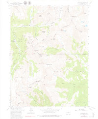
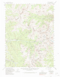
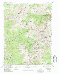
Editions of this 1933 Montezuma Map
Historical Maps of Montezuma Through Time
12 maps found
1924 Montezuma
Summit County, CO
1926 Montezuma
Summit County, CO
1933 Montezuma
Summit County, CO
1958 Montezuma
Summit County, CO
1958 Montezuma
Summit County, CO
1974 Montezuma
Summit County, CO
1994 Montezuma
Summit County, CO
2011 Montezuma
Summit County, CO
2013 Montezuma
Summit County, CO
2016 Montezuma
Summit County, CO
2019 Montezuma
Summit County, CO
2022 Montezuma
Summit County, CO