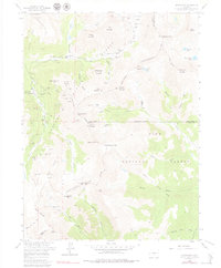
1958 Map of Montezuma
USGS Topo · Published 1979About this map
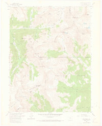
Montezuma serves as the focal point for this high-altitude mining landscape, situated at the confluence of the Snake River and Peru Creek. The area is defined by the heavy industrial footprint of the silver and gold era, with dozens of workings such as the Pennsylvania Mine and the American Eagle Mine dotting the steep slopes of Ruby Mountain and Brittle Silver Mountain. The complex topography is bisected by the Continental Divide, which separates the Arapaho National Forest from the Pike National Forest. Historically significant transit routes are evident, including the steep ascent to Webster Pass and the primitive tracks leading toward Radical Hill. These routes connected the various claims, such as the Sarsfield Mine and Quail Mine, to the processing centers. The map also documents the engineering of the Roberts Tunnel, a critical water diversion project reflecting the region's evolving infrastructure during the mid-20th century.
Find a feature on this map
68 named features on this map. Tap any name to fly to it.
Don’t see what you’re looking for? This feature index may not catch every label — zoom into the map to look around manually.
Map Details
Editions of this 1958 Montezuma Map
5 editions found
Other maps of this area

1903 · Georgetown
USGS Topo · 1:62,500

1905 · Georgetown
USGS Topo · 1:62,500

1924 · Montezuma
USGS Topo · 1:62,500

1926 · Montezuma
USGS Topo · 1:62,500

1933 · Montezuma
USGS Topo · 1:62,500

1937 · Como
USGS Topo · 1:62,500

1945 · Mount Logan
USGS Topo · 1:24,000

1948 · Mount Logan
USGS Topo · 1:24,000

1953 · Denver
USGS Topo · 1:250,000

1957 · Denver
USGS Topo · 1:250,000