
1945 Map of Mount Logan
USGS Topo · Published 1960About this map
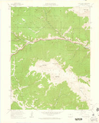
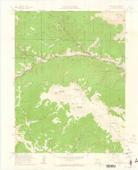
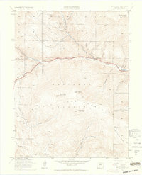
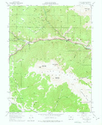
The North Fork South Platte River carves a deep central valley through this high-altitude landscape, serving as the primary corridor for travel and settlement within the Pike National Forest. Small communities like Webster, Grant (Olava PO), and Santa Maria are clustered along the riverbanks, marking key points of human presence amid the surrounding peaks. The drainage patterns are defined by numerous gulches and creeks, including Geneva Creek, Rock Creek, and Hall Valley, which funnel snowmelt from the towering summits of the Kenosha Mtns. These high points, notably Mount Logan, North Twin Cone Peak, and Mount Blaine, dominate the skyline. The map reveals the intricate relationship between the rugged terrain and the development of transportation routes such as Us 285, which follows the river’s natural path through the mountain pass.
Find a feature on this map
28 named features on this map. Tap any name to fly to it.
Don’t see what you’re looking for? This feature index may not catch every label — zoom into the map to look around manually.
Map Details
Editions of this 1945 Mount Logan Map
5 editions found
Other maps of this area

1903 · Georgetown
USGS Topo · 1:62,500

1905 · Georgetown
USGS Topo · 1:62,500

1924 · Montezuma
USGS Topo · 1:62,500

1926 · Montezuma
USGS Topo · 1:62,500

1933 · Montezuma
USGS Topo · 1:62,500

1937 · Como
USGS Topo · 1:62,500

1945 · Shawnee
USGS Topo · 1:24,000

1948 · Mount Logan
USGS Topo · 1:24,000

1948 · Shawnee
USGS Topo · 1:24,000

1953 · Denver
USGS Topo · 1:250,000