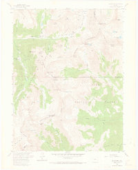
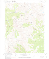
1958 Map of Montezuma
USGS Topo · Published 1973About this map
High-altitude mining operations dominate this mid-century survey of the Continental Divide, where the town of Montezuma serves as a central hub for the surrounding peaks. The landscape is heavily marked by the region's extractive history, featuring dozens of named sites such as the American Eagle Mine, the Pennsylvania Mine, and the Whale Mine. These sites are linked by a complex network of gulches, including Peru Creek and Chihuahua Creek, which flow through the Arapaho National Forest and Pike National Forest.
Find a feature on this map
91 named features on this map. Tap any name to fly to it.
Don’t see what you’re looking for? This feature index may not catch every label — zoom into the map to look around manually.
Map Details
Editions of this 1958 Montezuma Map
5 editions found
Other maps of this area

1903 · Georgetown
USGS Topo · 1:62,500

1905 · Georgetown
USGS Topo · 1:62,500

1924 · Montezuma
USGS Topo · 1:62,500

1926 · Montezuma
USGS Topo · 1:62,500

1933 · Montezuma
USGS Topo · 1:62,500

1937 · Como
USGS Topo · 1:62,500

1945 · Mount Logan
USGS Topo · 1:24,000

1948 · Mount Logan
USGS Topo · 1:24,000

1953 · Denver
USGS Topo · 1:250,000

1957 · Denver
USGS Topo · 1:250,000