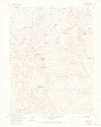
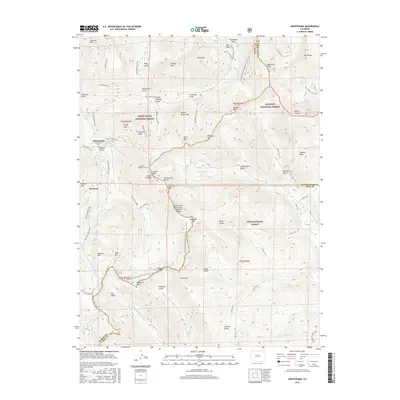
1958 Map of Montezuma
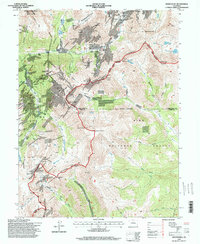
USGS Topo · Published 1973About this map
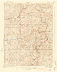
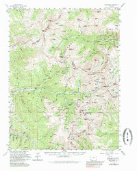
High-altitude silver and lead mining claims dominate this 1958 survey of the Summit County mountains, centered on the town of Montezuma. The landscape is a dense network of prospect sites and established operations, including the Pennsylvania Mine tucked into Peru Creek and the American Eagle Mine on the slopes of Lenawee Mtn. The Continental Divide winds through the center of the sheet, separating the Arapaho National Forest from the Pike National Forest.
Find a feature on this map
86 named features on this map. Tap any name to fly to it.
Don’t see what you’re looking for? This feature index may not catch every label — zoom into the map to look around manually.
Map Details
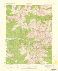
Editions of this 1958 Montezuma Map
5 editions found

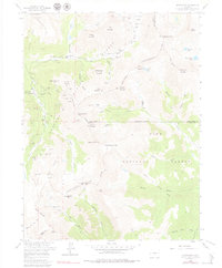
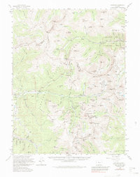
Historical Maps of Montezuma Through Time
12 maps found
1924 Montezuma
Summit County, CO
1926 Montezuma
Summit County, CO
1933 Montezuma
Summit County, CO
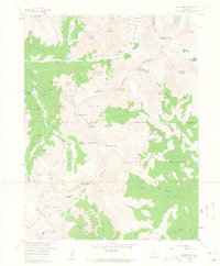
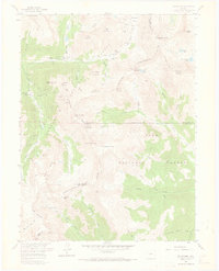
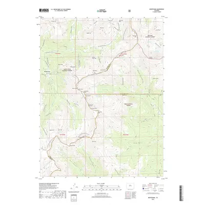
1958 Montezuma
Summit County, CO
1958 Montezuma
Summit County, CO
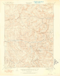
1974 Montezuma
Summit County, CO
1994 Montezuma
Summit County, CO
2011 Montezuma
Summit County, CO
2013 Montezuma
Summit County, CO
2016 Montezuma
Summit County, CO
2019 Montezuma
Summit County, CO
2022 Montezuma
Summit County, CO