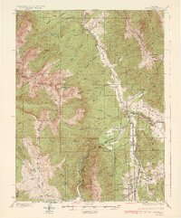
1934 Map of Dillon
USGS Topo · Published 1934About this map
The confluence of the Blue River, Snake River, and Tenmile Creek forms a central hub for transit and settlement in this 1929 survey. The town of Dillon sits at this junction, serving as a critical point on the Denver South Park and Pacific RR. This narrow-gauge line follows the river valleys, connecting smaller rail stops like Dickey and Frisco while navigating the significant verticality of the surrounding high country.
Find a feature on this map
79 named features on this map. Tap any name to fly to it.
Don’t see what you’re looking for? This feature index may not catch every label — zoom into the map to look around manually.
Map Details
Editions of this 1934 Dillon Map
3 editions found

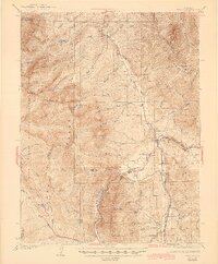
Other maps of this area

1889 · Leadville
USGS Topo · 1:125,000

1891 · Leadville
USGS Topo · 1:125,000

1924 · Montezuma
USGS Topo · 1:62,500

1924 · Fraser
USGS Topo · 1:62,500

1926 · Fraser
USGS Topo · 1:62,500

1926 · Montezuma
USGS Topo · 1:62,500

1929 · Dillon
USGS Topo · 1:62,500

1933 · Mt. Powell
USGS Topo · 1:48,000

1933 · Montezuma
USGS Topo · 1:62,500

1933 · Ute Peak
USGS Topo · 1:62,500