Old Maps of Ramah, Colorado
Explore 17 old maps of Ramah, spanning from 1953 to today. These high-resolution historic maps reveal how streets, neighborhoods, landmarks, and natural features evolved over time — perfect for genealogy, metal detecting, research, and local history exploration.
What you can do with these maps:
- See how Ramah changed over time: Compare historical maps to modern-day views to trace roads, homesites, rail lines & more.
- View detailed metadata: Each map includes creators, publishers, year, scale, and archive source.
- Overlay maps with satellite & LiDAR: Visualize the past alongside modern tools to explore terrain & human change.
- Trusted historical sources: Maps sourced from the USGS, Library of Congress, and other archives.
- Access maps your way: View online, download high-res files, or order prints for personal or research use.
Start exploring old maps of Ramah to uncover forgotten places, hidden landmarks, and the deep history beneath your feet.
Ramah, CO maps
(17)- 1953 Map of Denver, 1964 Print
 1953 Denver1964 Print · USGSDenver and the Colorado Front Range are captured here during a decade of post-war growth and military expansion. Researchers can trace the sprawling rail lines of the Union Pacific, locate the State Capitol, and explore historic mountain mining hubs like Central City.6 unique versions available
 - 1957 Map of Denver
 1957 Denver1957 Print · USGSDenver and the Colorado Front Range are seen here during a mid-century period of intense military and urban expansion. Trace the footprints of the Rocky Mountain Arsenal, the early United States Air Force Academy, and the Lowry AF Base.
 - 1958 Map of Denver
 1958 Denver1958 Print · USGSDenver and the Colorado Front Range are captured here during the mid-century suburban boom. Trace the footprints of military installations like Buckley Air Force Base alongside the established rail networks of the Colorado & Southern Ry.
 - 1960 Map of Denver
 1960 Denver1960 Print · USGSDenver and the Colorado Front Range are seen here at a pivotal moment of postwar expansion into the plains and foothills. Researchers can trace the mid-century rail network of the Denver & Rio Grande Western RR and locate historic institutional landmarks like Buckley Field and the Colorado School of Mines.
 - 1970 Map of Ramah South, 1973 Print
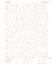
 1970 Ramah South1973 Print · USGSEl Paso County ranching and rail infrastructure are captured here in the early seventies as the railroad still served the high plains. Trace the path of the Chicago Rock Island and Pacific through Ramah or locate rural landmarks like Ramah Reservoir and Paint Mine Road.
 - 1970 Map of Ramah North, 1973 Print
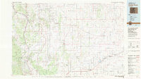
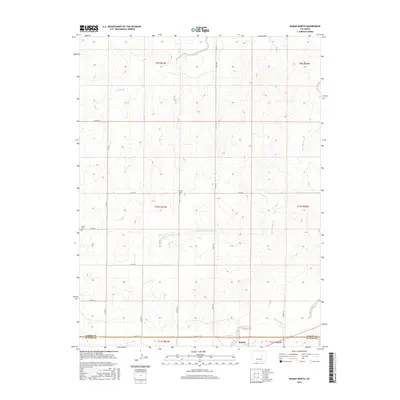
 1970 Ramah North1973 Print · USGSEastern Elbert County appears here just as the early seventies began, showing the rural landscape around Ramah. Genealogists and local historians can trace family-named sites like Sproch Cem, Sakaia Cem, and the St Mary Ch.3 unique versions available
 - 1983 Map of Castle Rock
 1983 Castle Rock1983 Print · USGSThe Palmer Divide and Front Range foothills come to life in the early eighties as ranching communities and military sites define the landscape. Trace old rail lines like the Chicago Rock Island and Pacific and find landmarks from Monkey Face to Daniels Park.
 - 2010 Map of Ramah South, 2010 Print
 2010 Ramah South2010 Print · USGSCovers Ramah, including El Paso County, United States, and other nearby areas
 - 2010 Map of Ramah North, 2010 Print
 2010 Ramah North2010 Print · USGSCovers Ramah, including El Paso County, Elbert County, and other nearby areas
 - 2013 Map of Ramah North, 2013 Print
 2013 Ramah North2013 Print · USGSCovers Ramah, including El Paso County, Elbert County, and other nearby areas
 - 2013 Map of Ramah South, 2013 Print
 2013 Ramah South2013 Print · USGSCovers Ramah, including El Paso County, United States, and other nearby areas
 - 2016 Map of Ramah South, 2016 Print
 2016 Ramah South2016 Print · USGSCovers Ramah, including El Paso County, United States, and other nearby areas
 - 2016 Map of Ramah North, 2016 Print
 2016 Ramah North2016 Print · USGSCovers Ramah, including El Paso County, Elbert County, and other nearby areas
 - 2019 Map of Ramah North, 2019 Print
 2019 Ramah North2019 Print · USGSCovers Ramah, including El Paso County, Elbert County, and other nearby areas
 - 2019 Map of Ramah South, 2019 Print
 2019 Ramah South2019 Print · USGSCovers Ramah, including El Paso County, United States, and other nearby areas
 - 2022 Map of Ramah North, 2022 Print
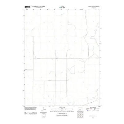
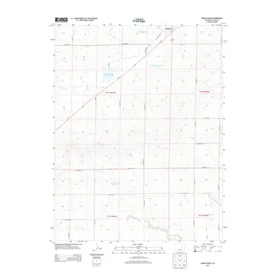
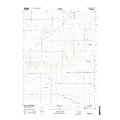
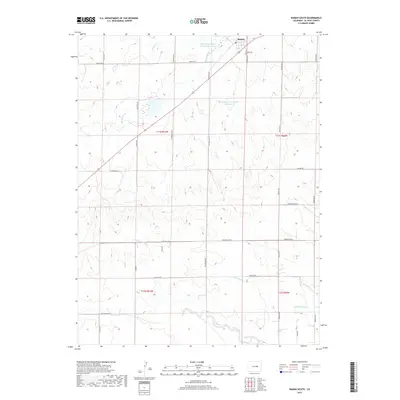
 2022 Ramah North2022 Print · USGSThe High Plains of eastern Colorado are documented in this modern survey of the Elbert and El Paso county line. Genealogists can locate family sites at Sproch Cem or Sakala Cem and trace the village of Ramah along Big Sandy Creek.
 - 2022 Map of Ramah South, 2022 Print
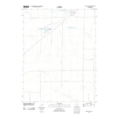
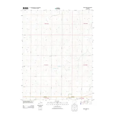
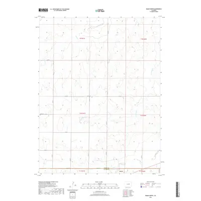
 2022 Ramah South2022 Print · USGSThe high plains of eastern El Paso County are captured here in the early 2020s, centered on the settlement of Ramah. Researchers can trace the local cemetery at Ramah Cem and the complex irrigation network of Ramah Reservoir.
End of results
Showing maps 1-17 of 17
Top cities near Ramah
Frequently asked questions
- What are the different types of historical maps available for Ramah?
- What is the oldest map of Ramah?
- Where can I purchase historical maps of Ramah for my home or office?
- Where can I download high-res historical maps of Ramah?
- Are there historical topographic maps available for Ramah?
- Is there historical aerial imagery available for Ramah?
- Where are historical maps of Ramah sourced from?