Old Maps of Kutch, Colorado for Metal Detecting
Plan your next treasure hunt with 12 historic maps of Kutch. Find old homesites, ghost towns, trails, and gathering spots that may be lost to time — perfect for identifying promising metal detecting locations.
- Locate forgotten sites: Uncover places like long-lost settlements, abandoned rail lines, or gathering spots.
- Plan better hunts: Use map overlays combined with LiDAR or satellite views to narrow in on historically rich areas.
- Made for detectorists: Thousands of hobbyists use these maps to discover relics, coins, and hidden history.
Use these historic maps to boost your research and find new opportunities beneath the surface of Kutch.
Kutch, CO maps
(12)- 1889 Map of Sanborn, 1962 Print
 1889 Sanborn1962 Print · USGSEastern Colorado ranching country is captured here during the late 1880s as the open range gave way to established holdings. Researchers can locate early livestock operations like the Maryland Cattle Co. Ranch, Orcutt Ranch, and the Sanborn settlement.
 - 1891 Map of Sanborn
 1891 Sanborn1891 Print · USGSEastern Colorado ranching life at the end of the century centers on isolated outposts and seasonal watercourses. Genealogists can trace family holdings like the Fody Ranch and Orcutt Ranch or the small settlement at Sanborn.
 - 1893 Map of Sanborn
 1893 Sanborn1893 Print · USGSEastern Colorado ranching country is documented here during the late frontier era, showing the early cattle operations and water rights of the high plains. Researchers can locate the Maryland Cattle Co. Ranch and trace the paths of Steel Fork and Horse Creek.4 unique versions available
 - 1954 Map of Lamar, 1964 Print
 1954 Lamar1964 Print · USGSSoutheastern Colorado and the Kansas borderlands appear here in the mid-fifties, dominated by the vital Arkansas River irrigation network. Researchers can trace the development of river towns like Lamar and La Junta alongside the Amity Cemetery and several major reservoirs.3 unique versions available
 - 1958 Map of Lamar
 1958 Lamar1958 Print · USGSThe High Plains of Eastern Colorado and Western Kansas in the late fifties reveal a landscape tied to the Arkansas River and the rails. Trace the heritage of the river valley through Fort Lyon, the Atchison Topeka and Santa Fe RR, and rural landmarks like Kendrick Church.2 unique versions available
 - 1975 Map of Kutch, 1978 Print
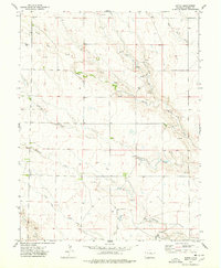 1975 Kutch1978 Print · USGSElbert County ranching country is captured here during the mid-seventies, showing a landscape defined by its vital water sources and vast open spaces. Genealogists and local historians can trace the small settlement of Kutch and scattered landmarks like Mustang Creek and Lone Tree Creek.
 - 1984 Map of Karval
 1984 Karval1984 Print · USGSLincoln County ranching country is captured here in the mid-eighties, showing the high plains at a time when remote rail-stops and small crossroads centers still anchored the region. Genealogists and historians can trace the Union Pacific line through Boyero and Wild Horse, or find local landmarks like Pumpkin Center and Kutch.
 - 2010 Map of Kutch, 2010 Print
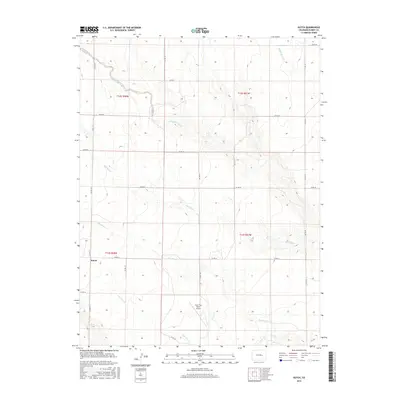
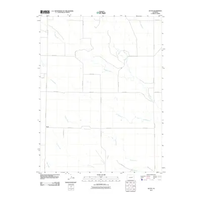 2010 Kutch2010 Print · USGSCovers Kutch, including Elbert County, United States, and other nearby areas
 - 2013 Map of Kutch, 2013 Print
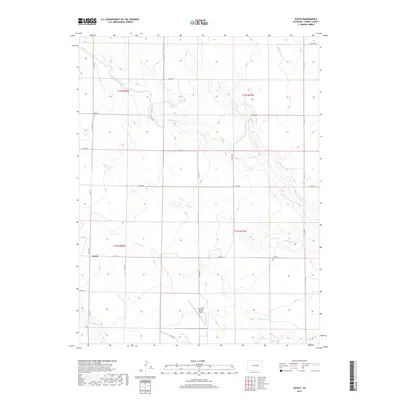
 2013 Kutch2013 Print · USGSCovers Kutch, including Elbert County, United States, and other nearby areas
 - 2016 Map of Kutch, 2016 Print
 2016 Kutch2016 Print · USGSCovers Kutch, including Elbert County, United States, and other nearby areas
 - 2019 Map of Kutch, 2019 Print
 2019 Kutch2019 Print · USGSCovers Kutch, including Elbert County, United States, and other nearby areas
 - 2022 Map of Kutch, 2022 Print
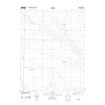
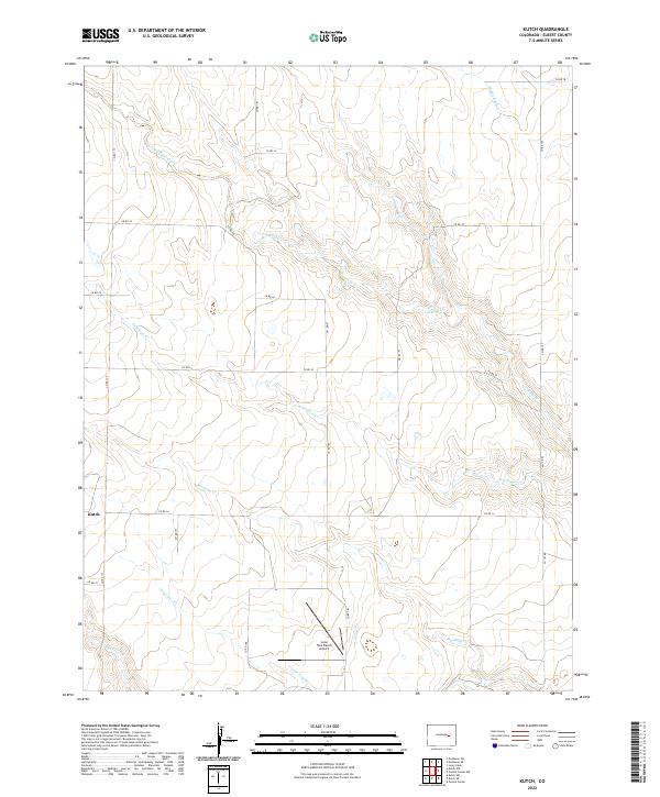 2022 Kutch2022 Print · USGSElbert County remains a landscape of sprawling ranchland and prairie creeks in the early twenty-first century. Researchers can trace the drainage of South Rush Creek and find local landmarks like Kutch and the Lone Tree Ranch Airport.
End of results
Showing maps 1-12 of 12
Top cities near Kutch
Frequently asked questions
- What are the different types of historical maps available for Kutch?
- What is the oldest map of Kutch?
- Where can I purchase historical maps of Kutch for my home or office?
- Where can I download high-res historical maps of Kutch?
- Are there historical topographic maps available for Kutch?
- Is there historical aerial imagery available for Kutch?
- Where are historical maps of Kutch sourced from?