Old Maps of Green Mountain Falls, Colorado for Metal Detecting
Plan your next treasure hunt with 17 historic maps of Green Mountain Falls. Find old homesites, ghost towns, trails, and gathering spots that may be lost to time — perfect for identifying promising metal detecting locations.
- Locate forgotten sites: Uncover places like long-lost settlements, abandoned rail lines, or gathering spots.
- Plan better hunts: Use map overlays combined with LiDAR or satellite views to narrow in on historically rich areas.
- Made for detectorists: Thousands of hobbyists use these maps to discover relics, coins, and hidden history.
Use these historic maps to boost your research and find new opportunities beneath the surface of Green Mountain Falls.
Green Mountain Falls, CO maps
(17)- 1894 Map of Pikes Peak
 1894 Pikes Peak1894 Print · USGSThe Cripple Creek mining district is in its golden prime in the 1890s, caught here just as the mountain rail network was expanding. Researchers can trace early mining camps like Barry and Alnwick or locate the original path of the Colorado Midland Railroad through Florissant.2 unique versions available
 - 1901 Map of Pikes Peak
 1901 Pikes Peak1901 Print · USGSThe Cripple Creek mining district is in its golden age on this turn-of-the-century sheet. Genealogists and historians can trace the rail lines and mountain camps that defined the rush, from Victor and Goldfield to the Fossil Beds at Florissant.6 unique versions available
 - 1901 Map of Pikes Peak, 1909 Print
 1901 Pikes Peak1909 Print · USGSThe mining district of Teller County is shown at its height, as rail lines threaded through high-altitude gold camps. Genealogists can trace family roots in Cripple Creek, Independence, and Altman or locate the historic Fossil Beds near Florissant.
 - 1954 Map of Woodland Park, 1955 Print
 1954 Woodland Park1955 Print · USGSWoodland Park and the surrounding Rampart Range are shown in the mid-1950s as mountain tourism and water infrastructure expanded. Trace the Colorado Midland Railroad (Former Grade) or locate landmarks like The Crags and Thunderbird Camp.6 unique versions available
 - 1954 Map of Pueblo, 1966 Print
 1954 Pueblo1966 Print · USGSMid-century Colorado comes alive in this survey of the Front Range and the high plains as the region expanded after the war. Genealogists and historians can trace family roots through rural landmarks like Hanover Church, Pioneer Cemetery, and the Grandview School.3 unique versions available
 - 1957 Map of Pueblo
 1957 Pueblo1957 Print · USGSMid-century Colorado comes alive as the Front Range urban centers expand alongside massive Cold War military installations. Genealogists and historians can trace the foundations of Stone City, rural sites like Hanover School, and the industrial Canon Imperial Mine.
 - 1958 Map of Pueblo
 1958 Pueblo1958 Print · USGSColorado's Front Range and Arkansas River Valley come alive in the late fifties, showing the transition from historic mining districts to major military and rail hubs. Genealogists and historians can trace family roots in ranching communities and find landmarks like Cripple Creek, Manitou, and the Hanover School.
 - 1962 Map of Pueblo
 1962 Pueblo1962 Print · USGSThe Front Range and high plains meet in the early sixties as military installations and industrial mining shape the corridor from Colorado Springs to Pueblo. Genealogists can trace family names through rural landmarks like the Columbine School, Hanover Church, and Fairview Cem.
 - 1966 Map of Pueblo
 1966 Pueblo1966 Print · USGSThe Front Range and Arkansas River Valley are captured here in the mid-1960s, showing a landscape shaped by mining, military expansion, and rail. Researchers can locate numerous country schools and mines, such as the Lytle School, Pioneer Cem, and Empire Zinc Mine.
 - 1983 Map of Pikes Peak
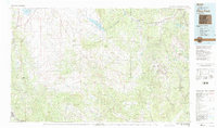 1983 Pikes Peak1983 Print · USGSIn the early eighties, the high-altitude mining districts of Teller County remained deeply etched into the mountain landscape. Researchers can trace the legacy of the Gold Belt through sites like the Stratton Mine and vanished rail stops near Cripple Creek or Altman.
 - 1989 Map of Pueblo
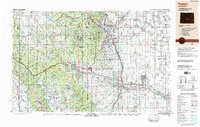 1989 Pueblo1989 Print · USGSIn the late eighties, the Colorado Front Range balanced its deep mining history with massive military expansion and water development. Researchers can trace the rail lines of the AT & SF RR or locate remote high-altitude settlements like Rosita and Querida.
 - 1994 Map of Woodland Park, 1998 Print
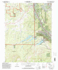 1994 Woodland Park1998 Print · USGSThe northern slopes of Pikes Peak and the Rampart Range come into focus in the 1990s as this region balanced forest preservation with water engineering. Genealogists and hikers can trace old mountain roads and landmarks like Woodland Park, the Pikes Peak Toll Road, and the air force recreation area at Farish Memorial.
 - 2011 Map of Woodland Park, 2011 Print
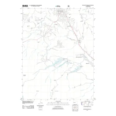 2011 Woodland Park2011 Print · USGSThe mountain town of Woodland Park and the slopes of the Rampart Range are captured here during a period of modern growth. Researchers can trace the legacy of local industry and recreation from the Navajo Mine to the Pikes Peak Ski Area.
 - 2013 Map of Woodland Park, 2013 Print
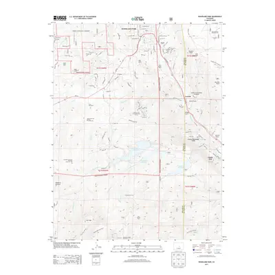 2013 Woodland Park2013 Print · USGSWoodland Park and the Ute Pass corridor are shown here in the early twenty-first century, as these mountain towns continued to develop. Researchers can trace the path of the old Midland Rd and locate landmarks like the Pikes Peak Ski Area, Crystola, and The Crags.
 - 2016 Map of Woodland Park, 2016 Print
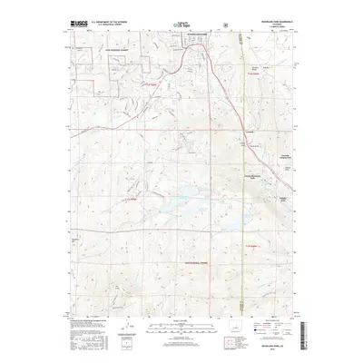 2016 Woodland Park2016 Print · USGSWoodland Park and the surrounding Teller County canyons appear here in the mid-2010s, showing a landscape defined by high-altitude reservoirs and forest communities. Genealogists and hikers can trace the geography of Green Mountain Falls and The Crags or locate family properties near Crystola.
 - 2019 Map of Woodland Park, 2019 Print
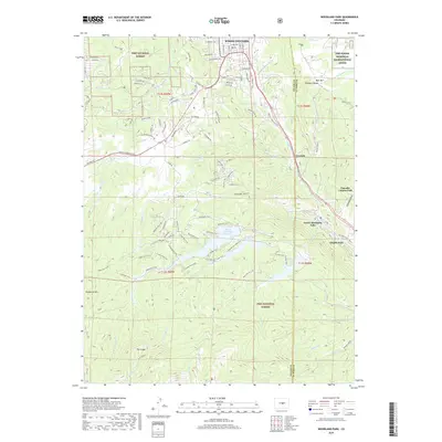 2019 Woodland Park2019 Print · USGSWoodland Park and the surrounding Rampart Range are shown in detail during the late twenty-teens. Outdoor historians and researchers can trace trails through the Pike National Forest or locate landmarks like North Catamount Reservoir and The Crags.
 - 2022 Map of Woodland Park, 2022 Print
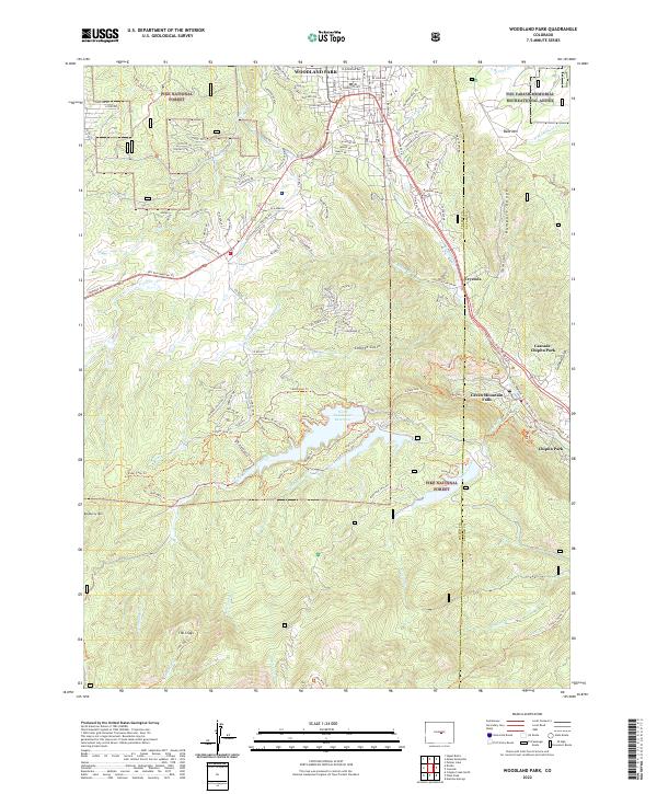 2022 Woodland Park2022 Print · USGSWoodland Park and the surrounding Teller County highlands appear in this contemporary survey as a vibrant mountain corridor. Modern researchers can trace the paths of the Ute Pass Regional Trl through Green Mountain Falls and the high-altitude waters of North Catamount Reservoir.
End of results
Showing maps 1-17 of 17
Top cities near Green Mountain Falls
- Colorado Springs historical maps
- Woodland Park historical maps
- Manitou Springs historical maps
- Monument historical maps
- Palmer Lake historical maps
- Cripple Creek historical maps
See more
Frequently asked questions
- What are the different types of historical maps available for Green Mountain Falls?
- What is the oldest map of Green Mountain Falls?
- Where can I purchase historical maps of Green Mountain Falls for my home or office?
- Where can I download high-res historical maps of Green Mountain Falls?
- Are there historical topographic maps available for Green Mountain Falls?
- Is there historical aerial imagery available for Green Mountain Falls?
- Where are historical maps of Green Mountain Falls sourced from?