Old Maps of Beaver Point, Estes Park for Metal Detecting
Plan your next treasure hunt with 16 historic maps of Beaver Point. Find old homesites, ghost towns, trails, and gathering spots that may be lost to time — perfect for identifying promising metal detecting locations.
- Locate forgotten sites: Uncover places like long-lost settlements, abandoned rail lines, or gathering spots.
- Plan better hunts: Use map overlays combined with LiDAR or satellite views to narrow in on historically rich areas.
- Made for detectorists: Thousands of hobbyists use these maps to discover relics, coins, and hidden history.
Use these historic maps to boost your research and find new opportunities beneath the surface of Beaver Point.
Beaver Point, Estes Park maps
(16)- 1915 Map of Longs Peak
 1915 Longs Peak1915 Print · USGSHigh mountain passes and early alpine settlements define this region just as the National Park system was taking root. Genealogists and hikers can trace the Ute Trail, locate the Sleepy Hollow School, or find the old Monarch PO near Grand Lake.3 unique versions available
 - 1919 Map of Rocky Mountain National Park
 1919 Rocky Mountain National Park1919 Print · USGSThe high alpine basins of Northern Colorado are captured here in the years following the park's creation. Researchers can locate early schools and post offices like Sleepy Hollow School and Monarch PO, or trace the rail lines of the Denver and Salt Lake RR.7 unique versions available
 - 1954 Map of Greeley, 1966 Print
 1954 Greeley1966 Print · USGSNorthern Colorado transitions from high-alpine peaks to the irrigated South Platte valley during this mid-century period of growth. Genealogists and historians can trace rail-connected hubs like Greeley and Longmont alongside landmarks like Horsetooth Reservoir and Estes Park.3 unique versions available
 - 1957 Map of Greeley
 1957 Greeley1957 Print · USGSNorthern Colorado in the mid-fifties is captured here as the agricultural plains of Weld County meet the high peaks of the Front Range. Genealogists and historians can trace rail-linked towns like Keenesburg and Roggen or locate early water features such as Boyd Lake and Fossil Creek Reservoir.
 - 1957 Map of Longs Peak, 1959 Print
 1957 Longs Peak1959 Print · USGSThe eastern gateway to the high Rockies was maturing in the late fifties, blending traditional camp life with increasing park infrastructure. Researchers can trace early hiking routes like the Storm Pass Trail and locate recreation sites such as the Cheley Camp and Marys Lake.2 unique versions available
 - 1958 Map of Greeley
 1958 Greeley1958 Print · USGSNorthern Colorado and the high peaks of the Front Range appear here in the mid-fifties as the region's agricultural and rail networks were fully established. Genealogists can locate family homes near Virginia Dale, Waverly, or Kuner, and trace the path of the Union Pacific Railroad through Greeley.
 - 1961 Map of Greeley
 1961 Greeley1961 Print · USGSNorthern Colorado's transition from high mountain peaks to irrigated plains is captured here just as the post-war population boom reached the Front Range. Researchers can trace early water infrastructure and rail lines like the Great Western RR connecting sugar beet hubs from Fort Collins to Greeley.
 - 1961 Map of Longs Peak
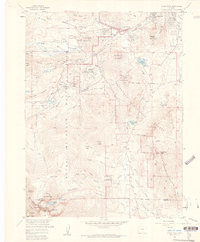 1961 Longs Peak1961 Print · USGSRocky Mountain National Park and the outskirts of Estes Park are captured here in the early sixties. Researchers can trace historic climbing routes near The Keyhole or locate sites like the Eugenia Mine and the YMCA Conference Camp.8 unique versions available
 - 1964 Map of Greeley
 1964 Greeley1964 Print · USGSThe Front Range corridor and high peaks of the Rockies appear here in the mid-1960s, showing the intersection of mountain wilderness and plains agriculture. Trace the rail routes of the Great Western RR or locate landmarks like Longs Peak and Horsetooth Reservoir.
 - 1965 Map of Greeley
 1965 Greeley1965 Print · USGSNorthern Colorado in the mid-sixties shows a landscape defined by high mountain summits and the growing irrigation networks of the plains. Genealogists and historians can trace rail-side towns like Wellington or follow the early tracks of the Union Pacific Railroad past Longs Peak.
 - 1984 Map of Estes Park
 1984 Estes Park1984 Print · USGSThe northern Front Range and high peaks come into focus during the mid-eighties, showing the intersection of mountain wilderness and urban expansion. Trace the rail lines of the Union Pacific, the shores of Lake Granby, and historic mountain towns like Gold Hill or Eldora.3 unique versions available
 - 2011 Map of Longs Peak, 2011 Print
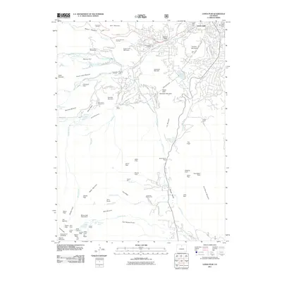 2011 Longs Peak2011 Print · USGSEstes Park and the Front Range peaks are shown here in the early twenty-first century as the region balanced tourism and utility infrastructure. Researchers can locate early family sites like the Hupp Family Cemetery or trace the underground paths of the Alva B Adams Tunnel and Rams Horn Tunnel.
 - 2013 Map of Longs Peak, 2013 Print
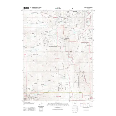 2013 Longs Peak2013 Print · USGSEstes Park and the surrounding high country are shown in detail during the early twenty-first century, balancing resort growth with wilderness preservation. Researchers can locate remote burial sites like the Edwin Bradt Grave and engineering feats such as the Rams Horn Tunnel.
 - 2016 Map of Longs Peak, 2016 Print
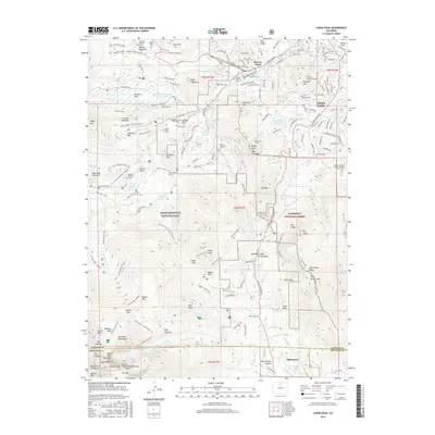 2016 Longs Peak2016 Print · USGSThe high peaks of the Front Range come into sharp focus in the mid-2010s, revealing a landscape where wilderness and family history overlap. Genealogists can locate several remote burial sites like the Hupp Family Cem and the Edwin Bradt Grave while tracing routes through Estes Park.
 - 2019 Map of Longs Peak, 2019 Print
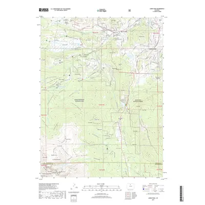 2019 Longs Peak2019 Print · USGSEstes Park sits at the threshold of the Front Range wilderness in the late twenty-tens. Genealogists and historians can trace family ties at the Edwin Bradt Grave or Hupp Family Cemetery while mapping the routes of the Alva B. Adams Tunnel.
 - 2022 Map of Longs Peak, 2022 Print
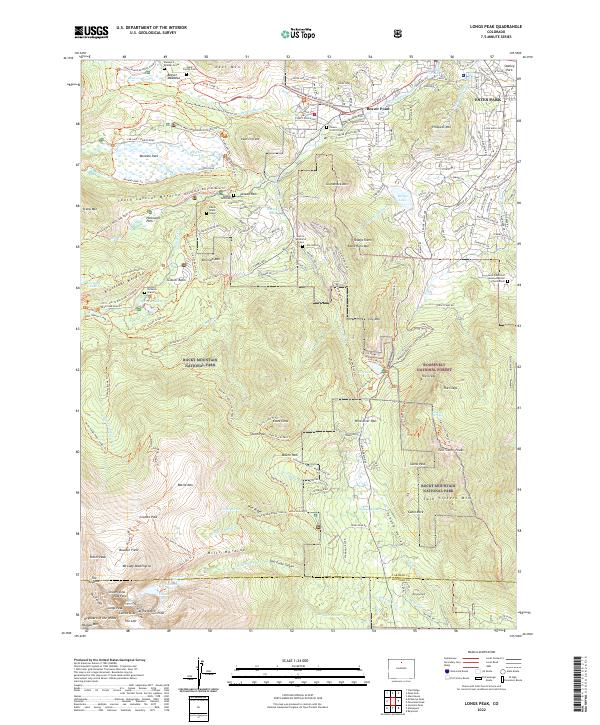 2022 Longs Peak2022 Print · USGSThe Front Range town of ESTES PARK serves as the starting point for this survey of the high peaks and moraines of Rocky Mountain National Park. Researchers can trace early family history at the Cleave - Griffith Cem or locate the historic Eugenia Mine Trl.
End of results
Showing maps 1-16 of 16
Top cities near Beaver Point
Frequently asked questions
- What are the different types of historical maps available for Beaver Point?
- What is the oldest map of Beaver Point?
- Where can I purchase historical maps of Beaver Point for my home or office?
- Where can I download high-res historical maps of Beaver Point?
- Are there historical topographic maps available for Beaver Point?
- Is there historical aerial imagery available for Beaver Point?
- Where are historical maps of Beaver Point sourced from?