Old Maps of Villegreen, Colorado for Academic Research
Study the evolution of Villegreen with 13 high-resolution historic maps. Whether you're teaching, researching, or modeling changes in land use, these maps provide essential visual documentation of urban, environmental, and geographic change.
- Analyze long-term change: Track patterns in development, transportation, and natural features.
- Ideal for environmental or urban studies: Support academic projects with primary historical map data.
- Use in the classroom or lab: Educators and researchers rely on these maps to bring historical context to life.
These maps are a powerful tool for teaching, research, and visualizing how Villegreen has changed over the decades.
Villegreen, CO maps
(13)- 1891 Map of Mesa De Maya
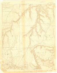
 1891 Mesa De Maya1891 Print · USGSLas Animas County ranching country appears here in the early 1890s as a landscape of deep rimrock canyons and isolated mesas. Trace early settlements like Indianapolis and Troy or the route of the Denver Texas & Ft Worth railroad near Watervale.
 - 1893 Map of Mesa de Maya
 1893 Mesa de Maya1893 Print · USGSSoutheast Colorado at the end of the nineteenth century was a frontier of canyonlands and high mesas shaped by the Purgatoire River. Genealogists can trace early settlements like Troy and Indianapolis alongside the route of the Denver Texas & Ft. Worth R. R.6 unique versions available
 - 1955 Map of La Junta, 1966 Print
 1955 La Junta1966 Print · USGSSoutheastern Colorado during the mid-fifties is captured here as a sprawling network of ranching outposts and rail sidings. Researchers can locate vanished landmarks like the Sunderland School, trace the isolated Lycan Post Office, or find the Bomb target (abandoned) on the western plains.3 unique versions available
 - 1958 Map of La Junta
 1958 La Junta1958 Print · USGSSoutheast Colorado and the Kansas borderlands appear in the late fifties as a landscape of isolated ranching outposts and vital rail junctions. Researchers can trace the lineage of vanished post offices and rural school sites like the Lycan Post Office and Sunderland School.2 unique versions available
 - 1968 Map of La Junta
 1968 La Junta1968 Print · USGSSoutheastern Colorado and the high plains appear in remarkable detail during the late 1960s, showing the intersection of irrigation, ranching, and rail. Genealogists can trace family footprints at the Lycan Post Office, Konantz Cem, and across numerous named cattle ranches.
 - 1972 Map of Villegreen, 1975 Print
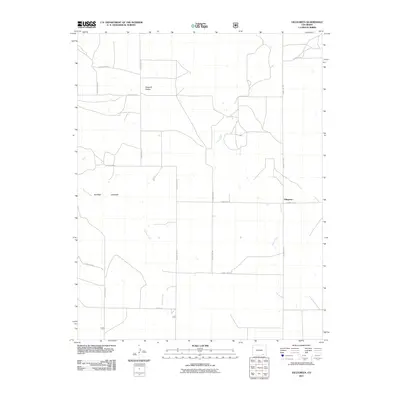
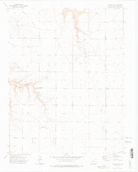 1972 Villegreen1975 Print · USGSLas Animas County ranch land is captured here in the early 1970s, centered on the small crossroads of Villegreen. Researchers can trace the winding paths of Plum Canyon and Poitrey Creek or locate remote landmarks like Seven Pocket.4 unique versions available
 - 1982 Map of Kim, 1983 Print
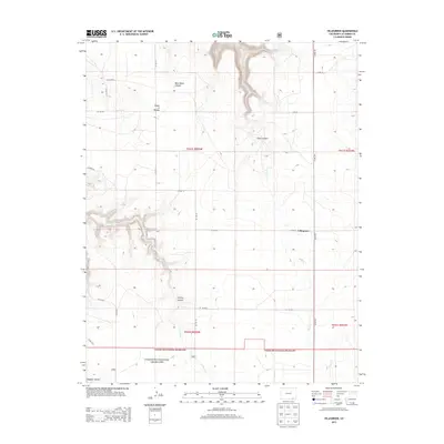
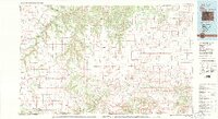 1982 Kim1983 Print · USGSThe high plains of southern Colorado meet the New Mexico and Oklahoma borders in the early eighties. Genealogists and historians can trace the historic Santa Fe Trail and locate small ranching communities like Kim, Villegreen, and Utleyville.2 unique versions available
 - 1996 Map of Villegreen, 2000 Print
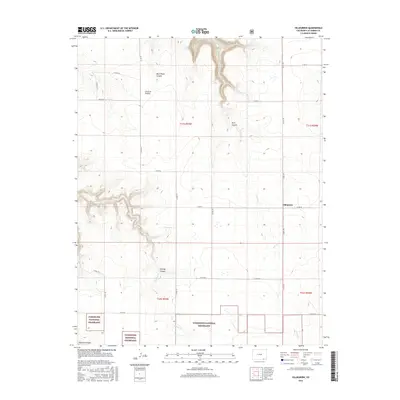
 1996 Villegreen2000 Print · USGSLas Animas County during the 1990s reflects the quiet, rural character of the Colorado plains as it was before the turn of the millennium. Researchers can trace local routes like Villegreen Road and explore the rugged breaks of Plum Creek Canyon.
 - 2011 Map of Villegreen, 2011 Print
 2011 Villegreen2011 Print · USGSCovers Villegreen, including Las Animas County, United States, and other nearby areas
 - 2013 Map of Villegreen, 2013 Print
 2013 Villegreen2013 Print · USGSCovers Villegreen, including Las Animas County, United States, and other nearby areas
 - 2016 Map of Villegreen, 2016 Print
 2016 Villegreen2016 Print · USGSCovers Villegreen, including Las Animas County, United States, and other nearby areas
 - 2019 Map of Villegreen, 2019 Print
 2019 Villegreen2019 Print · USGSCovers Villegreen, including Las Animas County, United States, and other nearby areas
 - 2022 Map of Villegreen, 2022 Print
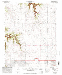
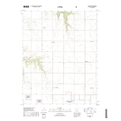
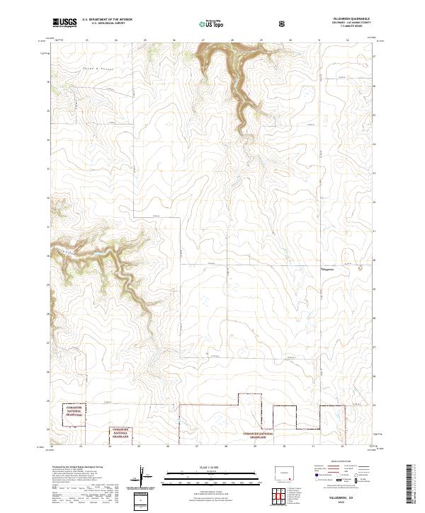 2022 Villegreen2022 Print · USGSThe high plains of Las Animas County are documented here in the early twenty-first century, showing the intersection of ranching life and public land. Researchers can trace remote property lines near the Villegreen crossroads and explore the terrain of Poitrey Canyon and Seven D Pocket.
End of results
Showing maps 1-13 of 13
Top cities near Villegreen
Frequently asked questions
- What are the different types of historical maps available for Villegreen?
- What is the oldest map of Villegreen?
- Where can I purchase historical maps of Villegreen for my home or office?
- Where can I download high-res historical maps of Villegreen?
- Are there historical topographic maps available for Villegreen?
- Is there historical aerial imagery available for Villegreen?
- Where are historical maps of Villegreen sourced from?