Old Maps of Karval, Colorado for Academic Research
Study the evolution of Karval with 12 high-resolution historic maps. Whether you're teaching, researching, or modeling changes in land use, these maps provide essential visual documentation of urban, environmental, and geographic change.
- Analyze long-term change: Track patterns in development, transportation, and natural features.
- Ideal for environmental or urban studies: Support academic projects with primary historical map data.
- Use in the classroom or lab: Educators and researchers rely on these maps to bring historical context to life.
These maps are a powerful tool for teaching, research, and visualizing how Karval has changed over the decades.
Karval, CO maps
(12)- 1889 Map of Sanborn, 1962 Print
 1889 Sanborn1962 Print · USGSEastern Colorado ranching country is captured here during the late 1880s as the open range gave way to established holdings. Researchers can locate early livestock operations like the Maryland Cattle Co. Ranch, Orcutt Ranch, and the Sanborn settlement.
 - 1891 Map of Sanborn
 1891 Sanborn1891 Print · USGSEastern Colorado ranching life at the end of the century centers on isolated outposts and seasonal watercourses. Genealogists can trace family holdings like the Fody Ranch and Orcutt Ranch or the small settlement at Sanborn.
 - 1893 Map of Sanborn
 1893 Sanborn1893 Print · USGSEastern Colorado ranching country is documented here during the late frontier era, showing the early cattle operations and water rights of the high plains. Researchers can locate the Maryland Cattle Co. Ranch and trace the paths of Steel Fork and Horse Creek.4 unique versions available
 - 1954 Map of Lamar, 1964 Print
 1954 Lamar1964 Print · USGSSoutheastern Colorado and the Kansas borderlands appear here in the mid-fifties, dominated by the vital Arkansas River irrigation network. Researchers can trace the development of river towns like Lamar and La Junta alongside the Amity Cemetery and several major reservoirs.3 unique versions available
 - 1958 Map of Lamar
 1958 Lamar1958 Print · USGSThe High Plains of Eastern Colorado and Western Kansas in the late fifties reveal a landscape tied to the Arkansas River and the rails. Trace the heritage of the river valley through Fort Lyon, the Atchison Topeka and Santa Fe RR, and rural landmarks like Kendrick Church.2 unique versions available
 - 1978 Map of Karval
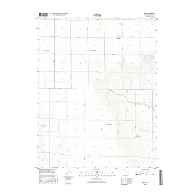
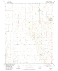 1978 Karval1978 Print · USGSThe high plains of Lincoln County come into focus during the 1970s, centered on the ranching community of Karval. Genealogists and local historians can trace family ties at the Bucklen Cem or locate the solitary Grave near the banks of Adobe Creek.
 - 1984 Map of Karval
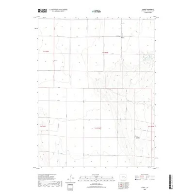
 1984 Karval1984 Print · USGSLincoln County ranching country is captured here in the mid-eighties, showing the high plains at a time when remote rail-stops and small crossroads centers still anchored the region. Genealogists and historians can trace the Union Pacific line through Boyero and Wild Horse, or find local landmarks like Pumpkin Center and Kutch.
 - 2010 Map of Karval, 2010 Print
 2010 Karval2010 Print · USGSCovers Karval, including Lincoln County, United States, and other nearby areas
 - 2013 Map of Karval, 2013 Print
 2013 Karval2013 Print · USGSCovers Karval, including Lincoln County, United States, and other nearby areas
 - 2016 Map of Karval, 2016 Print
 2016 Karval2016 Print · USGSCovers Karval, including Lincoln County, United States, and other nearby areas
 - 2019 Map of Karval, 2019 Print
 2019 Karval2019 Print · USGSCovers Karval, including Lincoln County, United States, and other nearby areas
 - 2022 Map of Karval, 2022 Print
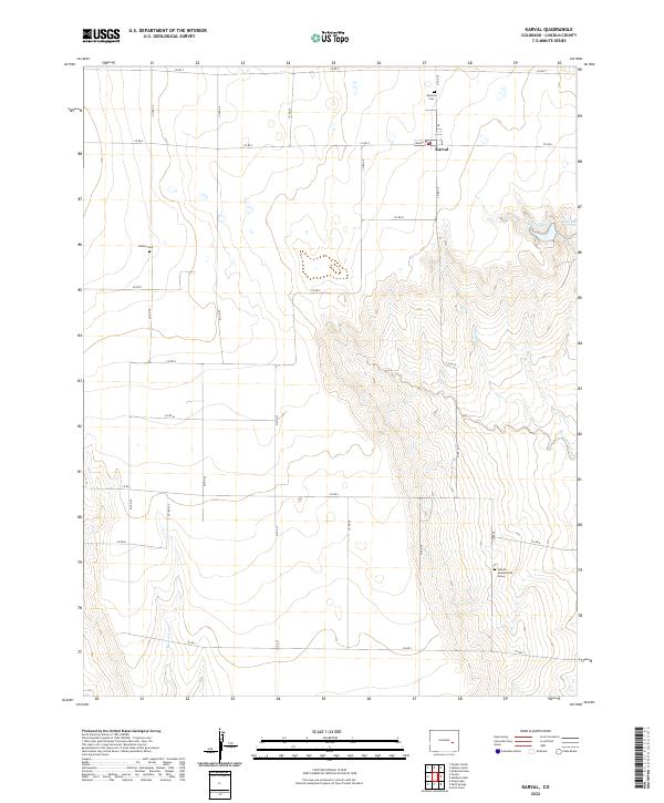 2022 Karval2022 Print · USGSLincoln County ranching country is captured here in the early twenty-first century, centered on the small community of Karval. Researchers can pinpoint family history sites like Bucklen Cem, Dudley Cem, and the Samuel Messersmith Grave.
End of results
Showing maps 1-12 of 12
Frequently asked questions
- What are the different types of historical maps available for Karval?
- What is the oldest map of Karval?
- Where can I purchase historical maps of Karval for my home or office?
- Where can I download high-res historical maps of Karval?
- Are there historical topographic maps available for Karval?
- Is there historical aerial imagery available for Karval?
- Where are historical maps of Karval sourced from?