2000s (21st Century) Maps of Creede, Colorado
Explore 6 historic maps of Creede from the 2000s (21st Century). These maps offer a rare glimpse into what life looked like during the 2000s — showing old roads, neighborhoods, homes, and landmarks that have changed or disappeared over time.
Whether you're researching your family's past, planning a metal detecting trip, or studying how Creede's landscape evolved across the 2000s, these high-resolution maps are a powerful tool for exploring the history of this region.
- Focus on a specific era: All maps on this page are from the 2000s, giving you a focused view of this time period.
- See what’s changed: Compare century-old streets, trails, and buildings to today's modern landscape using overlays and satellite layers.
- Research with precision: Use these maps for genealogy, historical research, land use analysis, or educational projects.
- View, download, or print: Maps are fully viewable online in high resolution, and can be downloaded or printed for your own records.
Start exploring Creede's history through authentic maps from the 2000s. This is your window into the past.
Creede, CO maps
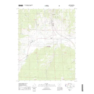
(6)- 2001 Map of Creede, 2005 Print
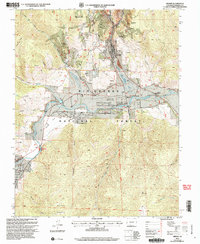 2001 Creede2005 Print · USGSMineral County mining culture and ranching history are preserved here at the dawn of the new millennium. Researchers can trace the silver-mining legacy through Bulldog Tunnel and Sunnyside (Site) or locate the historic Wason Ranch along the Rio Grande.
 - 2011 Map of Creede, 2011 Print
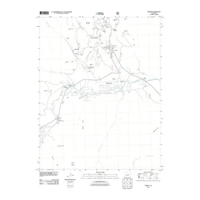 2011 Creede2011 Print · USGSCovers Creede, including North Edenvale, Sunnyside, and other nearby areas
 - 2013 Map of Creede, 2013 Print
 2013 Creede2013 Print · USGSCovers Creede, including North Edenvale, Sunnyside, and other nearby areas
 - 2016 Map of Creede, 2016 Print
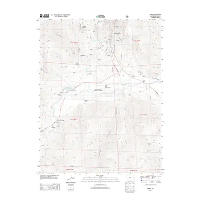
 2016 Creede2016 Print · USGSCovers Creede, including North Edenvale, Sunnyside, and other nearby areas
 - 2019 Map of Creede, 2019 Print
 2019 Creede2019 Print · USGSCovers Creede, including North Edenvale, Sunnyside, and other nearby areas
 - 2022 Map of Creede, 2022 Print
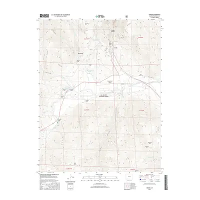
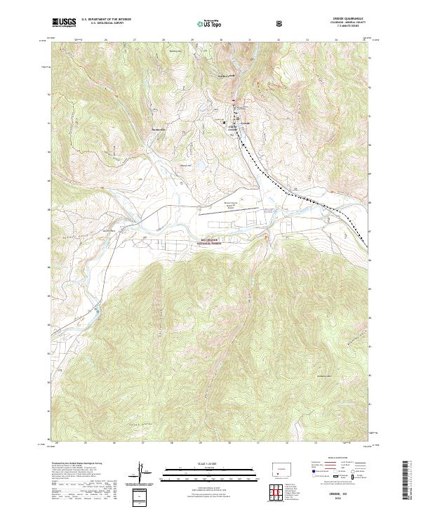 2022 Creede2022 Print · USGSMineral County's silver mining heritage is visible in this modern survey of the high Rockies. Researchers can trace the narrow-gauge-era layout of Creede and North Creede, find the Creede Cem, or follow the Rio Grande past Antlers Park.
End of results
Showing maps 1-6 of 6
Top neighborhoods of Creede
Frequently asked questions
- What are the different types of historical maps available for Creede?
- What is the oldest map of Creede?
- Where can I purchase historical maps of Creede for my home or office?
- Where can I download high-res historical maps of Creede?
- Are there historical topographic maps available for Creede?
- Is there historical aerial imagery available for Creede?
- Where are historical maps of Creede sourced from?