Old Maps of Pleasant View, Colorado for Genealogy
Trace your family roots with 13 historic maps of Pleasant View. These high-res maps reveal old neighborhoods, homesites, landmarks, and streets — helping you uncover where your ancestors lived and how the area evolved over time.
- Explore historic neighborhoods: Identify where your relatives may have lived in the 1800s or 1900s.
- Compare maps over time: Trace the changes in streets, buildings, and landmarks for multi-generational research.
- Perfect for genealogy & ancestry research: Used by family historians and researchers to map out lineage and migration.
These maps are an incredible resource for exploring your personal connection to Pleasant View's past.
Pleasant View, CO maps
(13)- 1956 Map of Cortez, 1972 Print
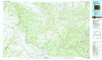
 1956 Cortez1972 Print · USGSThe Four Corners region comes alive in this mid-century study of the high plateaus and deep canyons surrounding Cortez. Trace the development of desert outposts like Towaoc or follow the historic Laramie Trail across a landscape dotted with ancient sites at Mesa Verde National Park.2 unique versions available
 - 1958 Map of Cortez
 1958 Cortez1958 Print · USGSThe Four Corners region comes alive in the late fifties, showing the interplay between expanding mountain settlements and ancient archeological sites. Trace the layout of Cortez, Monticello, and Blanding alongside landmarks like Mesa Verde National Park and Fort Lewis A&M College.
 - 1959 Map of Cortez
 1959 Cortez1959 Print · USGSThe Four Corners region in the late fifties was a landscape of ancestral sites and isolated ranching outposts. Genealogists and historians can trace the early footprints of Cortez, Towaoc, and Mexican Hat alongside the canyons of the San Juan River.2 unique versions available
 - 1962 Map of Cortez
 1962 Cortez1962 Print · USGSThe Four Corners region comes alive in the early sixties, showing a landscape defined by reservation lands and federal forests. Trace the route of the Rio Grande Southern RR or locate the Uranium and vanadium mines near Monticello.
 - 1965 Map of Pleasant View, 1968 Print
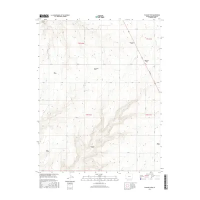
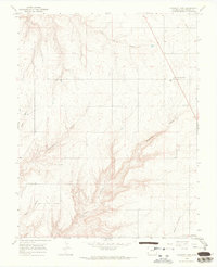 1965 Pleasant View1968 Print · USGSMontezuma County high country is shown in the mid-1960s, where the mesa-top settlement of Pleasant View meets a maze of sandstone gorges. Researchers can trace the dramatic drainages of Hovenweep Canyon, Sandstone Canyon, and Little Cahone Canyon across this high plateau.2 unique versions available
 - 1966 Map of Cortez
 1966 Cortez1966 Print · USGSThe Four Corners region in the mid-sixties reveals a landscape of high mesas, tribal lands, and archaeological preserves. Researchers can trace the ancient sites at Hovenweep National Monument, follow the Denver & Rio Grande Western Railroad, or locate old settlements like Ginger Hill and Yellow Jacket.
 - 1982 Map of Dove Creek
 1982 Dove Creek1982 Print · USGSThe high plateaus and deep canyons of Southwest Colorado are captured in the early 1980s as the McPhee Dam takes shape. Genealogists and researchers can locate remote settlements like Egnar and Cahone or trace family mining claims at the Effie B Mine.
 - 1994 Map of Pleasant View
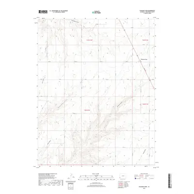
 1994 Pleasant View1994 Print · USGSMontezuma County's high mesa landscape was a focus of sophisticated water engineering in the early nineties. Genealogists and local historians can trace the paths of an extensive Aqueduct and CANAL system serving the area around Pleasant View and Little Cahone Canyon.
 - 2010 Map of Pleasant View, 2010 Print
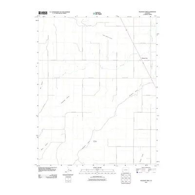 2010 Pleasant View2010 Print · USGSCovers Pleasant View, including Montezuma County, United States, and other nearby areas
 - 2013 Map of Pleasant View, 2013 Print
 2013 Pleasant View2013 Print · USGSCovers Pleasant View, including Montezuma County, United States, and other nearby areas
 - 2016 Map of Pleasant View, 2016 Print
 2016 Pleasant View2016 Print · USGSCovers Pleasant View, including Montezuma County, United States, and other nearby areas
 - 2019 Map of Pleasant View, 2019 Print
 2019 Pleasant View2019 Print · USGSCovers Pleasant View, including Montezuma County, United States, and other nearby areas
 - 2022 Map of Pleasant View, 2022 Print
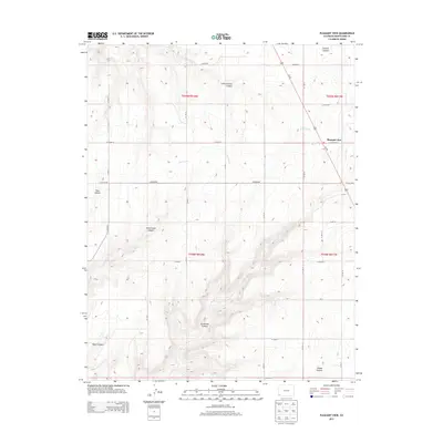
 2022 Pleasant View2022 Print · USGSMontezuma County's high desert plateau is mapped in the modern era, showing the intersection of dryland farming and deep canyon systems. Researchers can trace local infrastructure through Pleasant View, irrigation via the Dove Cr Canal, and the landmarks of Hovenweep Canyon.
End of results
Showing maps 1-13 of 13
Top cities near Pleasant View
Frequently asked questions
- What are the different types of historical maps available for Pleasant View?
- What is the oldest map of Pleasant View?
- Where can I purchase historical maps of Pleasant View for my home or office?
- Where can I download high-res historical maps of Pleasant View?
- Are there historical topographic maps available for Pleasant View?
- Is there historical aerial imagery available for Pleasant View?
- Where are historical maps of Pleasant View sourced from?