Old Maps of Vancorum, Colorado
Explore 16 old maps of Vancorum, spanning from 1916 to today. These high-resolution historic maps reveal how streets, neighborhoods, landmarks, and natural features evolved over time — perfect for genealogy, metal detecting, research, and local history exploration.
What you can do with these maps:
- See how Vancorum changed over time: Compare historical maps to modern-day views to trace roads, homesites, rail lines & more.
- View detailed metadata: Each map includes creators, publishers, year, scale, and archive source.
- Overlay maps with satellite & LiDAR: Visualize the past alongside modern tools to explore terrain & human change.
- Trusted historical sources: Maps sourced from the USGS, Library of Congress, and other archives.
- Access maps your way: View online, download high-res files, or order prints for personal or research use.
Start exploring old maps of Vancorum to uncover forgotten places, hidden landmarks, and the deep history beneath your feet.
Vancorum, CO maps
(16)- 1916 Map of Paradox Valley, 1955 Print
 1916 Paradox Valley1955 Print · USGSWestern Colorado during the height of early mineral exploration is documented here across the high plateaus and deep river canyons. Genealogists and historians can locate remote outpost camps like Shamrock Camp or Sunny Jim Camp and industrial landmarks such as the Coke Ovens.
 - 1922 Map of Paradox Valley
 1922 Paradox Valley1922 Print · USGSMontrose and San Miguel Counties are shown here during the early twentieth-century mining era, featuring a network of ore-processing camps and early river settlements. Researchers can trace historic industrial sites like the Cashin Mine and Coke Ovens or locate early rural institutions such as the Radium School.2 unique versions available
 - 1956 Map of Moab, 1972 Print
 1956 Moab1972 Print · USGSThe Colorado Plateau and La Sal Mountains appear here in the mid-fifties, just as the uranium boom and energy exploration were reshaping the Four Corners. Researchers can trace the Denver and Rio Grande Western through Cisco or locate the remote outpost of Uravan and Looking Glass Rock.3 unique versions available
 - 1959 Map of Moab
 1959 Moab1959 Print · USGSSoutheast Utah and Western Colorado are mapped here in the late fifties, just as the uranium boom was transforming the remote canyon lands. Genealogists and historians can trace the foundations of Moab and Nucla, or locate mining sites and landmarks like Uravan and Dead Horse Point.
 - 1960 Map of Moab
 1960 Moab1960 Print · USGSThe canyonlands and high plateaus of the Utah-Colorado border are shown here during the mid-century uranium boom. Researchers can trace the river-and-rail corridors of the Colorado River and the Denver and Rio Grande Western near Moab and Uravan.3 unique versions available
 - 1962 Map of Moab
 1962 Moab1962 Print · USGSThe canyon country of southeastern Utah and western Colorado is captured here in the early sixties, showing the reach of the Denver and Rio Grande Western through the desert. Researchers can trace the layout of mining settlements like Uravan and old railroad stops at Cisco and Sagers Station.
 - 1964 Map of Moab
 1964 Moab1964 Print · USGSThe canyonlands of eastern Utah and western Colorado are captured here in the mid-1960s, a time when uranium mining shaped the local economy. Researchers can trace the river-and-rail network through Sinbad Valley and locate mining outposts like Uravan and Vancorum.
 - 1964 Map of Naturita, 1968 Print
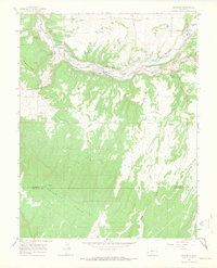 1964 Naturita1968 Print · USGSMid-century Naturita and the San Miguel River valley are documented here during a period of local industrial expansion. Researchers can locate specialized sites like the Drive-in Theater, the Hopkins-Montrose County Airport, and the companion settlements of East Vancorum and West Vancorum.3 unique versions available
 - 1965 Map of Moab
 1965 Moab1965 Print · USGSSoutheast Utah and Western Colorado are mapped here in the mid-sixties, showcasing a landscape of high plateaus and deep river canyons. Genealogists and historians can trace the mining-era towns of Uravan and Paradox or locate remote landmarks like Castleton and Dead Horse Point.
 - 1983 Map of Nucla
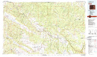 1983 Nucla1983 Print · USGSWestern Colorado’s canyon country is documented here during the early eighties, showcasing a region defined by uranium mining and high-plateau ranching. Trace local genealogy and industrial footprints through settlements like Uravan and Naturita or remote sites such as the Morning Glory Mine.2 unique versions available
 - 1994 Map of Naturita
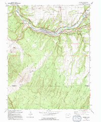 1994 Naturita1994 Print · USGSNaturita and the San Miguel River valley are captured here in the mid-1990s, illustrating a landscape shaped by both water and mining. Researchers can trace irrigation networks like the Parkway Ditch or locate local landmarks including the High School and Hopkins-Montrose County Airport.
 - 2011 Map of Naturita, 2011 Print
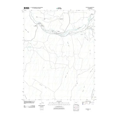 2011 Naturita2011 Print · USGSThe mining corridor along the San Miguel River is shown in detail during the early twenty-first century. Researchers can trace the legacy of local industry through named sites like the Ute Mine, Emma Mine, and the residential layout of Vancorum.
 - 2013 Map of Naturita, 2013 Print
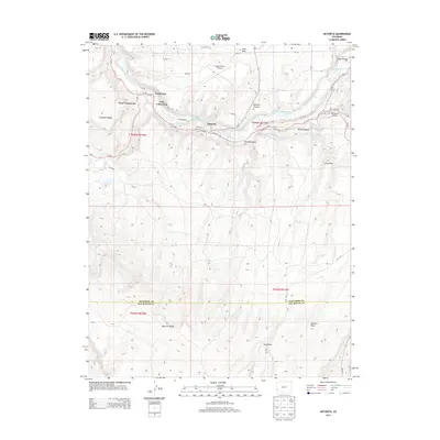 2013 Naturita2013 Print · USGSNaturita and the Vancorum settlements are captured here in the early 2010s along the San Miguel River. Researchers can trace irrigation networks like the Reed-Chatfield Ditch and landforms such as Sawtooth Ridge or Hopkins Field Airport.
 - 2016 Map of Naturita, 2016 Print
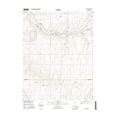 2016 Naturita2016 Print · USGSThe uranium-mining heritage of the Colorado plateau is visible in this mid-2010s study of Naturita and the river-carved valley. Genealogists and historians can trace local infrastructure through Vancorum, Brooks Bridge, and the Reed-Chatfield Ditch.
 - 2019 Map of Naturita, 2019 Print
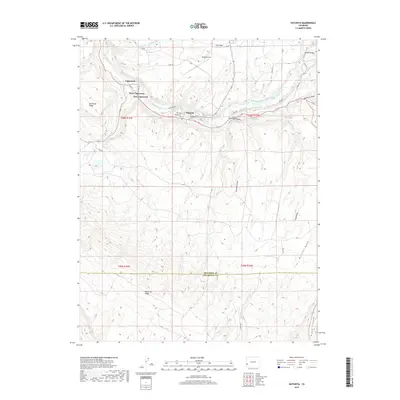 2019 Naturita2019 Print · USGSThe river valley at Naturita remains the heart of this landscape late in the second decade of the millennium. Genealogists and local historians can trace the irrigation systems like the Reed-Chatfield Ditch and find landmarks such as Brooks Bridge and Hopkins Field.
 - 2022 Map of Naturita, 2022 Print
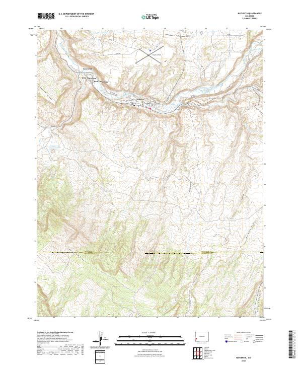 2022 Naturita2022 Print · USGSIn this modern era, the high desert landscape of western Colorado remains defined by the San Miguel River. Researchers can trace the layout of Naturita and the mining-related housing at Vancorum alongside irrigation features like the BCD Ditch.
End of results
Showing maps 1-16 of 16
Top cities near Vancorum
Frequently asked questions
- What are the different types of historical maps available for Vancorum?
- What is the oldest map of Vancorum?
- Where can I purchase historical maps of Vancorum for my home or office?
- Where can I download high-res historical maps of Vancorum?
- Are there historical topographic maps available for Vancorum?
- Is there historical aerial imagery available for Vancorum?
- Where are historical maps of Vancorum sourced from?