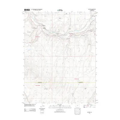
2013 Map of Naturita
USGS Topo · Published 2013About this map
Naturita and the surrounding uranium-era settlements of Vancorum, West Vancorum, and East Vancorum sit along the winding San Miguel River in this western Colorado survey. The landscape is defined by the sharp transition between the river valley and high mesa country, with Naturita Ridge and Sawtooth Ridge flanking the town. Local water management is evident in the network of irrigation channels like the Reed-Chatfield Ditch and Parkway Ditch that draw from the river to support the arid plateau.
Find a feature on this map
49 named features on this map. Tap any name to fly to it.
Don’t see what you’re looking for? This feature index may not catch every label — zoom into the map to look around manually.
Map Details
Editions of this 2013 Naturita Map
This is the sole edition of this map. No revisions or reprints were ever made.
Other maps of this area

1916 · Paradox Valley
USGS Topo · 1:125,000

1922 · Paradox Valley
USGS Topo · 1:125,000

1948 · Uravan
USGS Topo · 1:24,000

1948 · Naturita NW
USGS Topo · 1:24,000

1948 · Gypsum Gap
USGS Topo · 1:24,000

1949 · Gypsum Gap
USGS Topo · 1:24,000

1949 · Uravan
USGS Topo · 1:24,000

1949 · Naturita NW
USGS Topo · 1:24,000

1956 · Moab
USGS Topo · 1:250,000

1959 · Moab
USGS Topo · 1:250,000