
1948 Map of Gypsum Gap
USGS Topo · Published 1957About this map
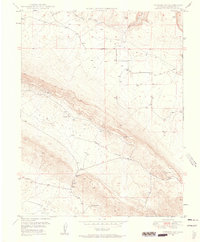
Mining operations and remote desert basins define this high-altitude landscape in San Miguel County, recorded just as the post-war era brought renewed interest to the region's mineral wealth. The Atomic Energy Commission cooperated on this survey, highlighting the industrial importance of sites like Long Ridge Mines and the Bald Eagle Mines. The terrain is split between the expansive Gypsum Valley and the northern reaches of Disappointment Valley, where water sources like Larson Spring and a small ditch network represent the sparse but vital hydraulic infrastructure of the late 1940s. Further east, the Pitchfork Mines sit near the headwaters of Gypsum Creek, illustrating a period when prospectors and geologists were intensely mapping the uranium and vanadium-rich pockets of the Colorado Plateau.
Find a feature on this map
12 named features on this map. Tap any name to fly to it.
Don’t see what you’re looking for? This feature index may not catch every label — zoom into the map to look around manually.
Map Details
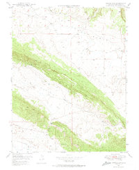
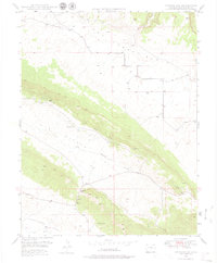
Editions of this 1948 Gypsum Gap Map
4 editions found
Other maps of this area

1916 · Paradox Valley
USGS Topo · 1:125,000

1922 · Paradox Valley
USGS Topo · 1:125,000

1948 · Bull Canyon
USGS Topo · 1:24,000

1948 · Hamm Canyon
USGS Topo · 1:24,000

1948 · Naturita NW
USGS Topo · 1:24,000

1949 · Bull Canyon
USGS Topo · 1:24,000

1949 · Gypsum Gap
USGS Topo · 1:24,000

1949 · Naturita NW
USGS Topo · 1:24,000

1949 · Joe Davis Hill
USGS Topo · 1:24,000
1950 · Hamm Canyon
USGS Topo · 1:24,000