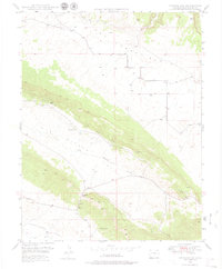
1948 Map of Gypsum Gap
USGS Topo · Published 1979About this map
The Atomic Energy Commission collaborated with the Geological Survey to map this mineral-focused landscape in the late 1940s, a period when uranium and vanadium exploration was intensifying in southwest Colorado. The rugged topography is defined by the sharp transition at Gypsum Gap, where the drainage of Big Gypsum Valley Creek meets the dramatic expanse of Disappointment Valley. Mining activity is evident throughout the terrain, with several operations such as Long Ridge Mines, Bald Eagle Mines, and Pitchfork Mines situated along the ridges and slopes. Water sources in this arid environment are critical markers, including Larson Spring and a series of small structures labeled simply as Dam that suggest efforts to manage runoff from the West Fork Dry Creek and other intermittent systems.
Find a feature on this map
12 named features on this map. Tap any name to fly to it.
Don’t see what you’re looking for? This feature index may not catch every label — zoom into the map to look around manually.
Map Details
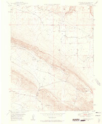
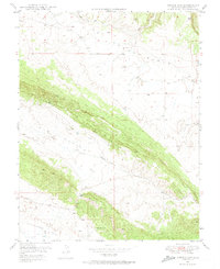
Editions of this 1948 Gypsum Gap Map
4 editions found
Other maps of this area

1916 · Paradox Valley
USGS Topo · 1:125,000

1922 · Paradox Valley
USGS Topo · 1:125,000

1948 · Bull Canyon
USGS Topo · 1:24,000

1948 · Hamm Canyon
USGS Topo · 1:24,000

1948 · Naturita NW
USGS Topo · 1:24,000

1948 · Gypsum Gap
USGS Topo · 1:24,000

1949 · Bull Canyon
USGS Topo · 1:24,000

1949 · Gypsum Gap
USGS Topo · 1:24,000

1949 · Naturita NW
USGS Topo · 1:24,000

1949 · Joe Davis Hill
USGS Topo · 1:24,000