Old Maps of Ayer, Colorado
Explore 13 old maps of Ayer, spanning from 1891 to today. These high-resolution historic maps reveal how streets, neighborhoods, landmarks, and natural features evolved over time — perfect for genealogy, metal detecting, research, and local history exploration.
What you can do with these maps:
- See how Ayer changed over time: Compare historical maps to modern-day views to trace roads, homesites, rail lines & more.
- View detailed metadata: Each map includes creators, publishers, year, scale, and archive source.
- Overlay maps with satellite & LiDAR: Visualize the past alongside modern tools to explore terrain & human change.
- Trusted historical sources: Maps sourced from the USGS, Library of Congress, and other archives.
- Access maps your way: View online, download high-res files, or order prints for personal or research use.
Start exploring old maps of Ayer to uncover forgotten places, hidden landmarks, and the deep history beneath your feet.
Ayer, CO maps
(13)- 1891 Map of Timpas
 1891 Timpas1891 Print · USGSHigh plains ranching and steam-era railroading dominate this Otero County landscape during the late 1800s. Genealogists and researchers can trace the historic route of the Atchison Topeka and Santa Fe Railroad through early stops at Timpas and Iron Springs.
 - 1894 Map of Timpas
 1894 Timpas1894 Print · USGSSoutheast Colorado in the late nineteenth century was a rugged landscape defined by the transition from river valleys to high plateaus. Genealogists and historians can trace the early rail stops at Benton and Iron Springs or follow the route of the Santa Fe Trail through Packers Gap.5 unique versions available
 - 1955 Map of La Junta, 1966 Print
 1955 La Junta1966 Print · USGSSoutheastern Colorado during the mid-fifties is captured here as a sprawling network of ranching outposts and rail sidings. Researchers can locate vanished landmarks like the Sunderland School, trace the isolated Lycan Post Office, or find the Bomb target (abandoned) on the western plains.3 unique versions available
 - 1958 Map of La Junta
 1958 La Junta1958 Print · USGSSoutheast Colorado and the Kansas borderlands appear in the late fifties as a landscape of isolated ranching outposts and vital rail junctions. Researchers can trace the lineage of vanished post offices and rural school sites like the Lycan Post Office and Sunderland School.2 unique versions available
 - 1968 Map of La Junta
 1968 La Junta1968 Print · USGSSoutheastern Colorado and the high plains appear in remarkable detail during the late 1960s, showing the intersection of irrigation, ranching, and rail. Genealogists can trace family footprints at the Lycan Post Office, Konantz Cem, and across numerous named cattle ranches.
 - 1972 Map of Timpas, 1976 Print
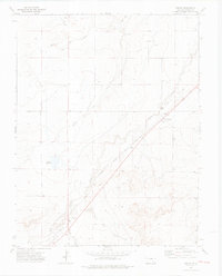 1972 Timpas1976 Print · USGSSoutheast Colorado in the 1970s shows a landscape still defined by its historic transit corridors and prairie ranching roots. Local historians can trace the parallel paths of the Santa Fe Trail and the railroad through Timpas and Ayer, locating local Cemeteries and Historical Markers along the way.3 unique versions available
 - 1982 Map of La Junta, 1983 Print
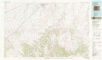 1982 La Junta1983 Print · USGSSoutheast Colorado in the early eighties shows a high plains landscape defined by the historic Santa Fe Trail and the Atchison Topeka and Santa Fe rail lines. Researchers can trace rural outposts like Higbee and Timpas or the rugged canyonlands surrounding the Purgatoire River.
 - 1996 Map of Timpas, 2000 Print
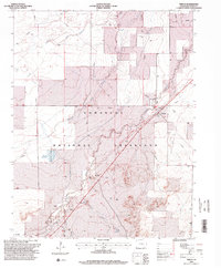 1996 Timpas2000 Print · USGSOtero County is shown here in the mid-1990s as a landscape of historic transit and high plains ranching. Researchers can trace the path of the Santa Fe National Historic Trail alongside the rail line near Timpas and the local Cem.
 - 2011 Map of Timpas, 2011 Print
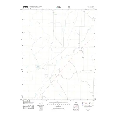 2011 Timpas2011 Print · USGSOtero County ranching country and small prairie settlements are captured here in the early twenty-first century. Researchers can locate Timpas Cemetery and trace water routes like Timpas Creek or the paths to Ayer and Brown Reservoir.
 - 2013 Map of Timpas, 2013 Print
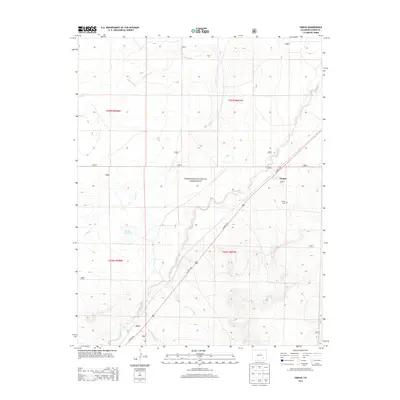 2013 Timpas2013 Print · USGSSoutheast Colorado's high plains are documented here in the early twenty-first century as ranching and transit define the landscape. Researchers can trace the diagonal route of US HWY 350 through Timpas and Ayer, or locate the historic Timpas Cem.
 - 2016 Map of Timpas, 2016 Print
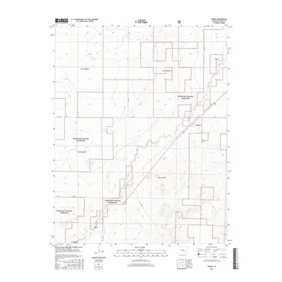 2016 Timpas2016 Print · USGSThe high plains of Otero County are captured here in the mid-2010s, showing a landscape shaped by ranching and federal conservation. Researchers can locate the Timpas Cem and trace the paths of Timpas Cr and Lone Tree Arroyo through the Comanche National Grassland.
 - 2019 Map of Timpas, 2019 Print
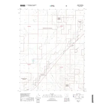 2019 Timpas2019 Print · USGSOtero County's high plains are shown in this modern era, where the historic trade routes and ranching landscapes of Colorado intersect. Genealogists and historians can trace the Santa Fe Nat Hist trail near the settlement of Timpas and the Timpas Cem.
 - 2022 Map of Timpas, 2022 Print
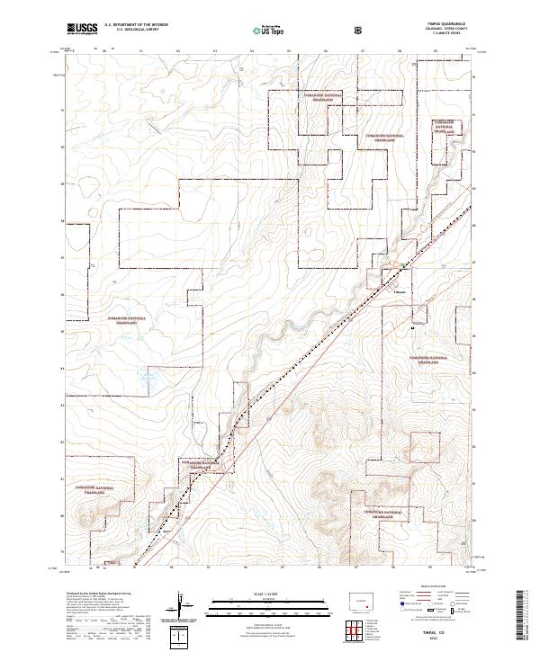 2022 Timpas2022 Print · USGSThe high plains of Otero County are captured here in the early twenty-first century, showcasing a landscape defined by historic trails and open ranchland. Researchers can trace the Santa Fe National Historic Trl past the Timpas Cem and the settlement of Ayer.
End of results
Showing maps 1-13 of 13
Frequently asked questions
- What are the different types of historical maps available for Ayer?
- What is the oldest map of Ayer?
- Where can I purchase historical maps of Ayer for my home or office?
- Where can I download high-res historical maps of Ayer?
- Are there historical topographic maps available for Ayer?
- Is there historical aerial imagery available for Ayer?
- Where are historical maps of Ayer sourced from?