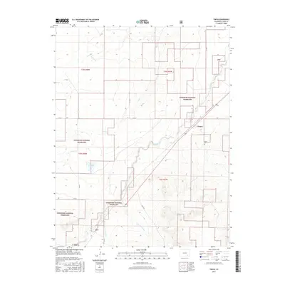
2016 Map of Timpas
USGS Topo · Published 2016About this map
Timpas and the small siding of Ayer anchor this high plains landscape within Otero County, where the sprawling acreage of the Comanche National Grassland dominates the terrain. The map details a network of ephemeral watercourses including Timpas Cr, S Dry Cr, and W Dry Cr, which carve through the shortgrass prairie. These drainages, along with Lone Tree Arroyo and Hoe Ranch Arroyo, illustrate the hydrologic patterns of a region where water is a critical and seasonal resource.
Find a feature on this map
21 named features on this map. Tap any name to fly to it.
Don’t see what you’re looking for? This feature index may not catch every label — zoom into the map to look around manually.
Map Details
Editions of this 2016 Timpas Map
This is the sole edition of this map. No revisions or reprints were ever made.
Other maps of this area
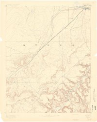
1891 · Timpas
USGS Topo · 1:125,000
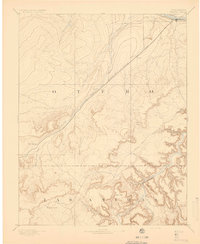
1894 · Timpas
USGS Topo · 1:125,000
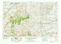
1955 · La Junta
USGS Topo · 1:250,000
1958 · La Junta
USGS Topo · 1:250,000
1965 · La Junta SW
USGS Topo · 1:24,000
1966 · Hawley
USGS Topo · 1:24,000
1968 · La Junta
USGS Topo · 1:250,000
1972 · Timpas NE
USGS Topo · 1:24,000
1972 · Packers Gap
USGS Topo · 1:24,000
1972 · Timpas SW
USGS Topo · 1:24,000