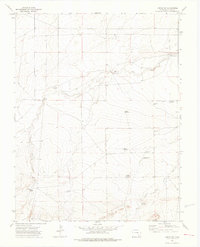
1972 Map of Timpas SW
USGS Topo · Published 1976About this map
Water management in the high plains of Otero County defines this 1970s landscape, where a network of family-named windmills and reservoirs supports life in an arid environment. The drainages of West Dry Creek and South Dry Creek dictate the placement of ranching infrastructure, including the Dry Creek Camp and several strategically placed watering holes. This map captures the distribution of critical resources like the Swisher Windmill, Salt Windmill, and Nemo Windmill, which served the local cattle industry of the era.
Find a feature on this map
23 named features on this map. Tap any name to fly to it.
Don’t see what you’re looking for? This feature index may not catch every label — zoom into the map to look around manually.
Map Details
Editions of this 1972 Timpas SW Map
3 editions found
Other maps of this area

1891 · Timpas
USGS Topo · 1:125,000

1891 · Apishapa
USGS Topo · 1:125,000

1893 · Apishapa
USGS Topo · 1:125,000

1894 · Timpas
USGS Topo · 1:125,000

1897 · Apishapa
USGS Topo · 1:125,000

1954 · Trinidad
USGS Topo · 1:250,000

1955 · La Junta
USGS Topo · 1:250,000

1955 · Trinidad
USGS Topo · 1:250,000

1958 · La Junta
USGS Topo · 1:250,000

1958 · Trinidad
USGS Topo · 1:250,000