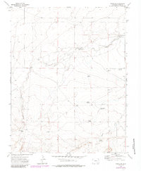
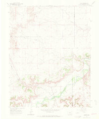
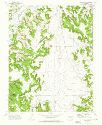
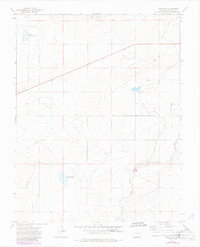
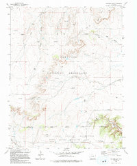
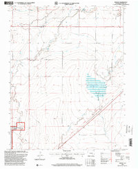
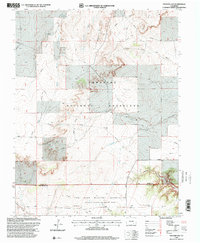
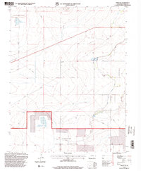
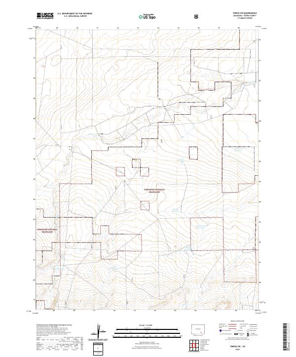
1972 Map of Timpas SW
USGS Topo · Published 1985This historical map portrays the area of Timpas SW in 1972, primarily covering Otero County. Featuring a scale of 1:24000, this map provides a highly detailed snapshot of the terrain, roads, buildings, counties, and historical landmarks in the Timpas SW region at the time. Published in 1985, it is one of 3 known editions of this map due to revisions or reprints.
Find a feature on this map
24 named features on this map. Tap any name to fly to it.
Don’t see what you’re looking for? This feature index may not catch every label — zoom into the map to look around manually.
Map Details
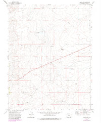
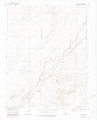
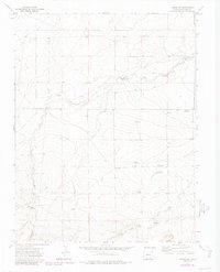
Editions of this 1972 Timpas SW Map
3 editions found
Historical Maps of Otero County Through Time
53 maps found

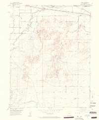
1891 Timpas
Otero County, CO
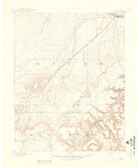
1894 Timpas
Otero County, CO
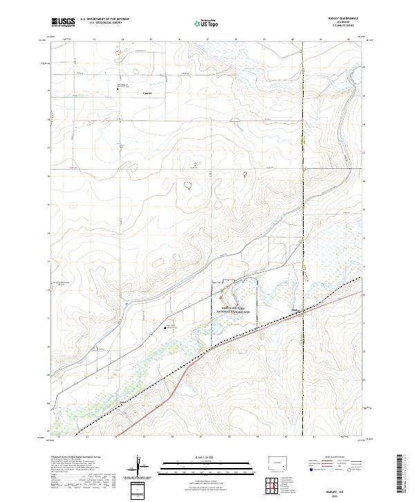
1953 Hadley
Otero County, CO
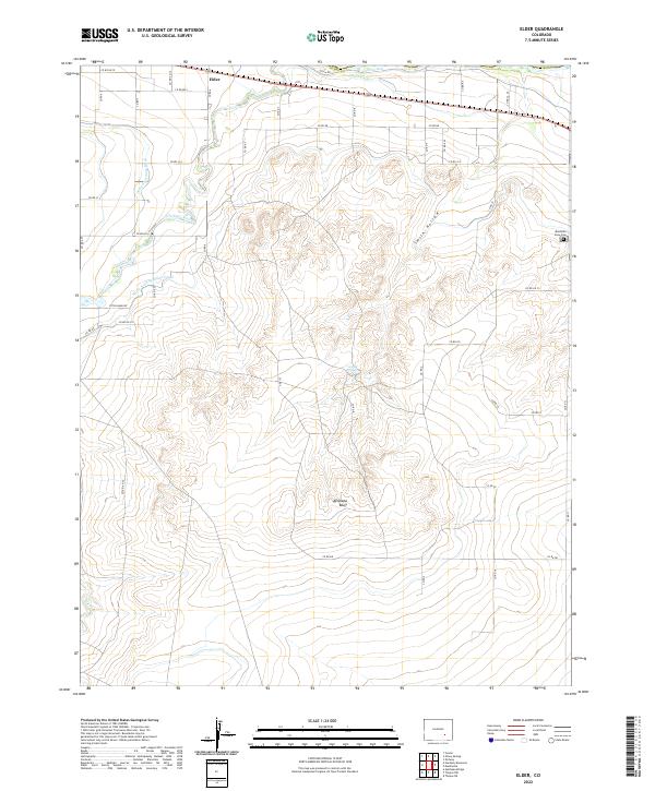
1954 Elder
Otero County, CO
1955 Lewis Ranch
Otero County, CO
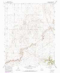
1965 La Junta SW
Otero County, CO
1966 Hawley
Otero County, CO
1966 Higbee
Otero County, CO
1966 La Junta SE
Otero County, CO
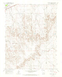
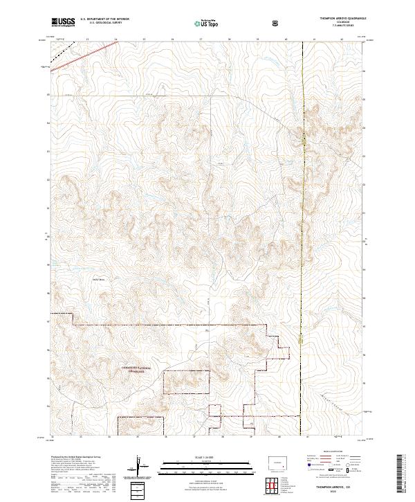
1966 Thompson Arroyo
Otero County, CO
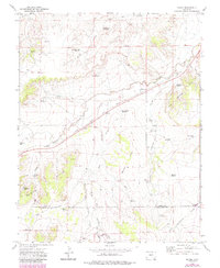
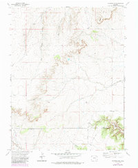
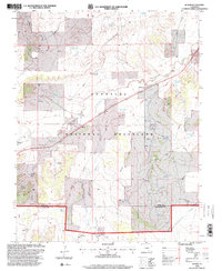
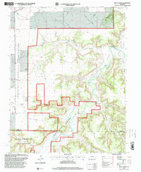
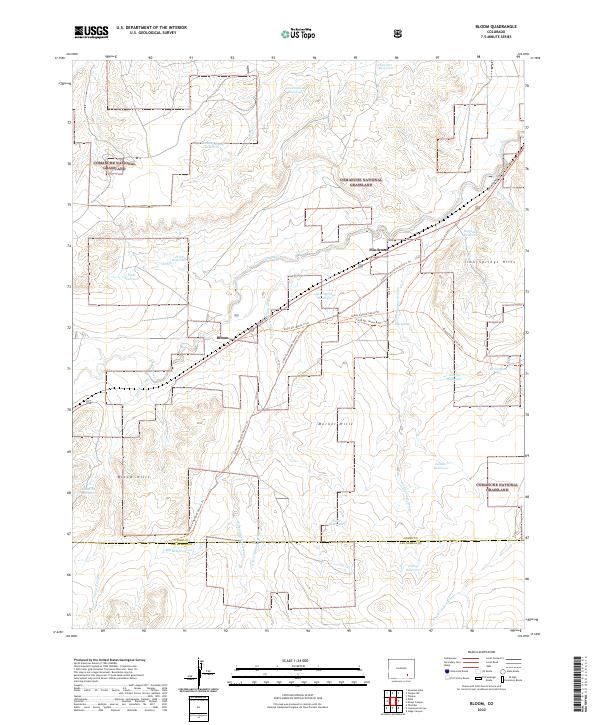
1972 Bloom
Otero County, CO
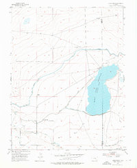
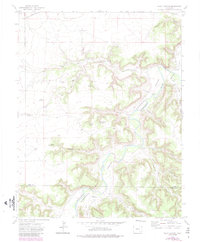
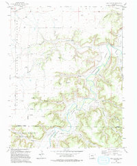
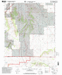
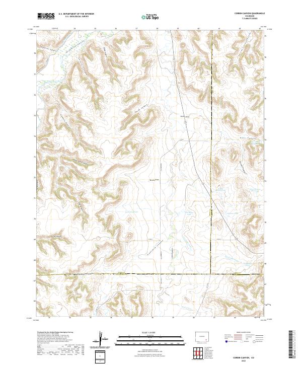
1972 Corbin Canyon
Otero County, CO
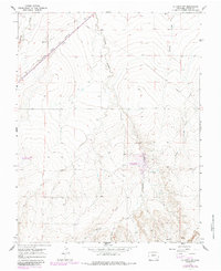
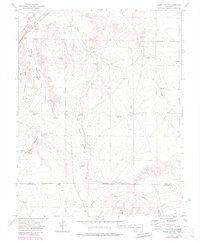
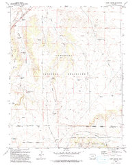
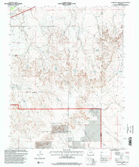
1972 Packers Gap
Otero County, CO
1972 Riley Canyon
Otero County, CO
1972 Sheep Canyon
Otero County, CO
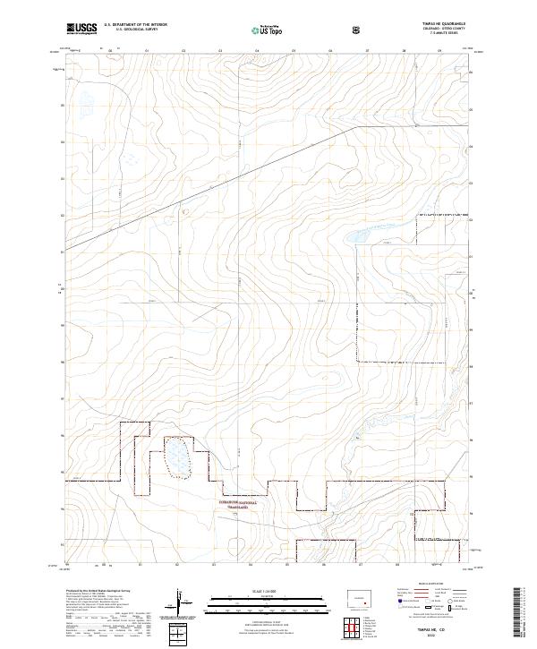
1972 Timpas NE
Otero County, CO
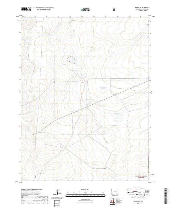
1972 Timpas NW
Otero County, CO
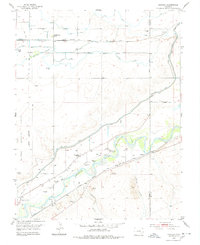
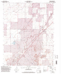
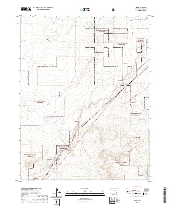
1972 Timpas
Otero County, CO
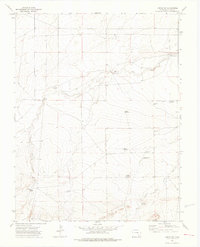
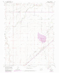
1972 Timpas SW
Otero County, CO

1993 Bloom
Otero County, CO
1993 Packers Gap
Otero County, CO
1993 Riley Canyon
Otero County, CO
1993 Sheep Canyon
Otero County, CO
1996 Bloom
Otero County, CO
1996 Hawley
Otero County, CO
1996 Higbee
Otero County, CO
1996 La Junta SE
Otero County, CO
1996 La Junta SW
Otero County, CO
1996 Packers Gap
Otero County, CO
1996 Riley Canyon
Otero County, CO
1996 Sheep Canyon
Otero County, CO
1996 Thompson Arroyo
Otero County, CO
1996 Timpas NE
Otero County, CO
1996 Timpas NW
Otero County, CO
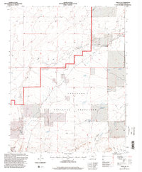
1996 Timpas
Otero County, CO
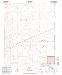
1996 Timpas SW
Otero County, CO
2022 Bloom
Otero County, CO
2022 Corbin Canyon
Otero County, CO
2022 Elder
Otero County, CO
2022 Hadley
Otero County, CO
2022 Hawley
Otero County, CO
2022 Higbee
Otero County, CO
2022 La Junta SE
Otero County, CO
2022 La Junta SW
Otero County, CO
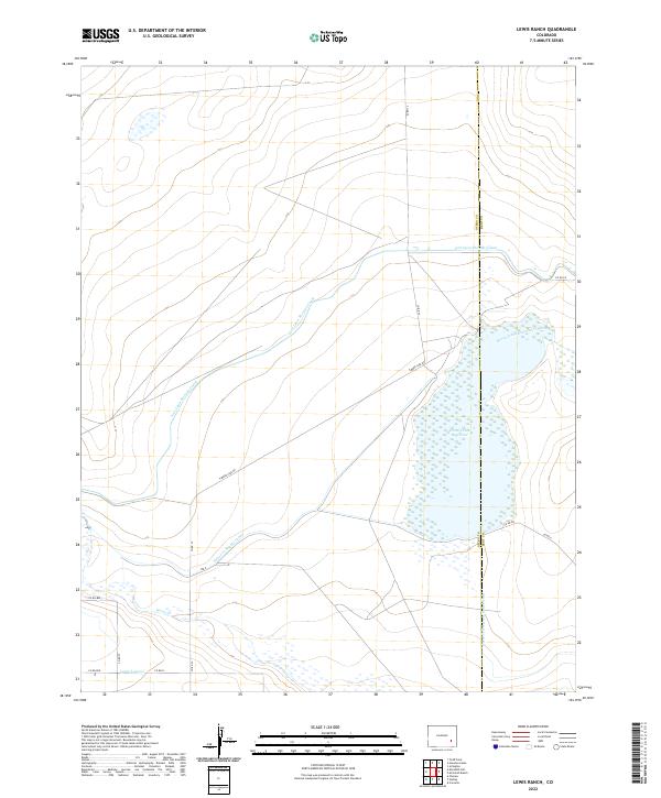
2022 Lewis Ranch
Otero County, CO
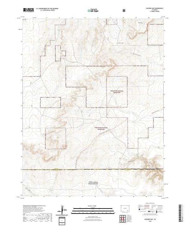
2022 Packers Gap
Otero County, CO
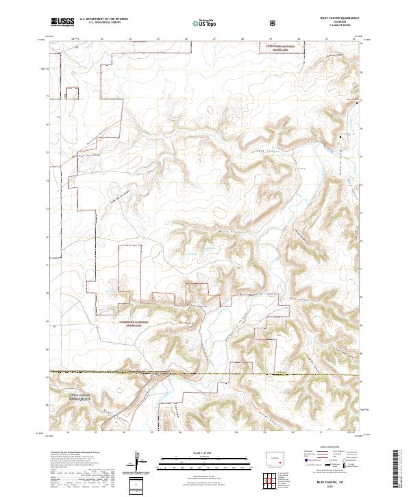
2022 Riley Canyon
Otero County, CO
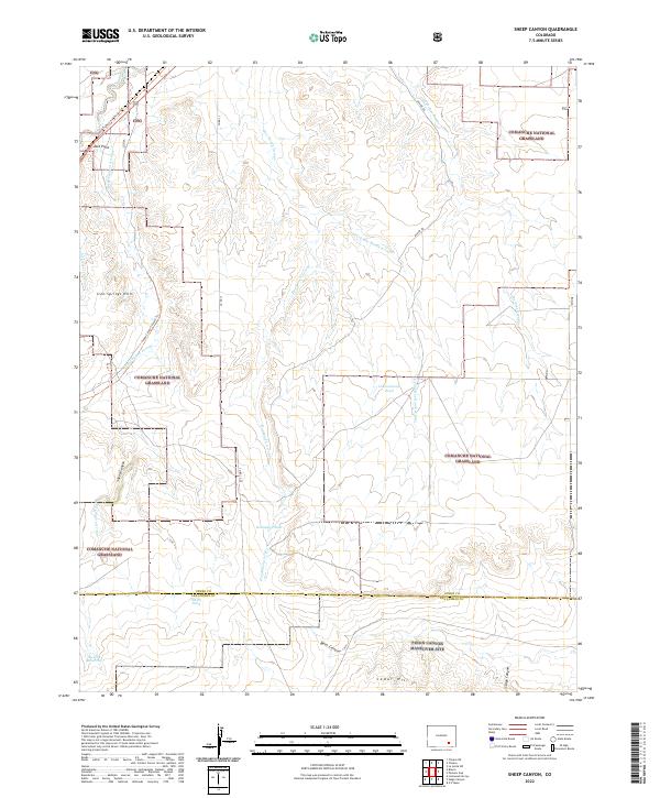
2022 Sheep Canyon
Otero County, CO
2022 Thompson Arroyo
Otero County, CO
2022 Timpas NE
Otero County, CO
2022 Timpas NW
Otero County, CO
2022 Timpas
Otero County, CO
2022 Timpas SW
Otero County, CO