Old Maps of Glentivar, Colorado for Hiking & Exploration
Hike through history with 12 historic maps of Glentivar. Explore old trails, ghost towns, and forgotten backroads — perfect for outdoor adventurers and local explorers.
- Rediscover forgotten places: Map out old mining camps, roads, and footpaths that no longer exist on modern maps.
- Layer with modern tools: Combine with LiDAR or satellite views to plan hikes through historical terrain.
- Made for exploration: Popular among hikers, overlanders, and local history lovers.
Use these maps to find adventure and explore the hidden past of Glentivar.
Glentivar, CO maps
(12)- 1953 Map of Denver, 1964 Print
 1953 Denver1964 Print · USGSDenver and the Colorado Front Range are captured here during a decade of post-war growth and military expansion. Researchers can trace the sprawling rail lines of the Union Pacific, locate the State Capitol, and explore historic mountain mining hubs like Central City.6 unique versions available
 - 1956 Map of Glentivar, 1957 Print
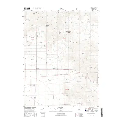
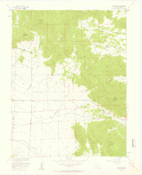 1956 Glentivar1957 Print · USGSPark County's high country is captured here in the mid-1950s, showing the intersection of mountain passes and early ranching landmarks. You can trace the geography of family names and transit points like Glentivar, Wilkerson Pass, and Rishaberger Mountain.5 unique versions available
 - 1957 Map of Denver
 1957 Denver1957 Print · USGSDenver and the Colorado Front Range are seen here during a mid-century period of intense military and urban expansion. Trace the footprints of the Rocky Mountain Arsenal, the early United States Air Force Academy, and the Lowry AF Base.
 - 1958 Map of Denver
 1958 Denver1958 Print · USGSDenver and the Colorado Front Range are captured here during the mid-century suburban boom. Trace the footprints of military installations like Buckley Air Force Base alongside the established rail networks of the Colorado & Southern Ry.
 - 1960 Map of Denver
 1960 Denver1960 Print · USGSDenver and the Colorado Front Range are seen here at a pivotal moment of postwar expansion into the plains and foothills. Researchers can trace the mid-century rail network of the Denver & Rio Grande Western RR and locate historic institutional landmarks like Buckley Field and the Colorado School of Mines.
 - 1983 Map of Bailey
 1983 Bailey1983 Print · USGSPark County and the high Front Range are captured here during the early 1980s as traditional mountain settlements met new development patterns. Genealogists and researchers can trace the Denver and Rio Grande Western Railroad and old mountain hamlets like Bailey, Webster, and Garo.2 unique versions available
 - 1994 Map of Glentivar, 1998 Print
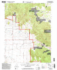 1994 Glentivar1998 Print · USGSPark County high country during the mid-nineties shows a landscape of mountain passes and forestry activity. Researchers can trace the Glentivar (Site) settlement and locate numerous high-altitude prospects near Wilkerson Pass and Schoolmarm Mountain.2 unique versions available
 - 2011 Map of Glentivar, 2011 Print
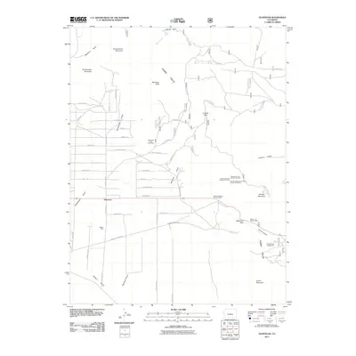 2011 Glentivar2011 Print · USGSCovers Glentivar, including Park County, United States, and other nearby areas
 - 2013 Map of Glentivar, 2013 Print
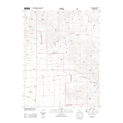 2013 Glentivar2013 Print · USGSCovers Glentivar, including Park County, United States, and other nearby areas
 - 2016 Map of Glentivar, 2016 Print
 2016 Glentivar2016 Print · USGSCovers Glentivar, including Park County, United States, and other nearby areas
 - 2019 Map of Glentivar, 2019 Print
 2019 Glentivar2019 Print · USGSCovers Glentivar, including Park County, United States, and other nearby areas
 - 2022 Map of Glentivar, 2022 Print
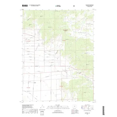
 2022 Glentivar2022 Print · USGSPark County high country comes into focus in this recent survey of the ridges and passes west of Colorado Springs. Researchers can trace land use near Glentivar and Antelope Airpark, or locate family-named landmarks like Rishaberger Mtn and Martland Peak.
End of results
Showing maps 1-12 of 12
Frequently asked questions
- What are the different types of historical maps available for Glentivar?
- What is the oldest map of Glentivar?
- Where can I purchase historical maps of Glentivar for my home or office?
- Where can I download high-res historical maps of Glentivar?
- Are there historical topographic maps available for Glentivar?
- Is there historical aerial imagery available for Glentivar?
- Where are historical maps of Glentivar sourced from?