Old Maps of Harris Park, Park County for Hiking & Exploration
Hike through history with 14 historic maps of Harris Park. Explore old trails, ghost towns, and forgotten backroads — perfect for outdoor adventurers and local explorers.
- Rediscover forgotten places: Map out old mining camps, roads, and footpaths that no longer exist on modern maps.
- Layer with modern tools: Combine with LiDAR or satellite views to plan hikes through historical terrain.
- Made for exploration: Popular among hikers, overlanders, and local history lovers.
Use these maps to find adventure and explore the hidden past of Harris Park.
Harris Park, Park County maps
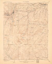
(14)- 1903 Map of Georgetown, 1957 Print
 1903 Georgetown1957 Print · USGSMining operations and mountain railroads define the Clear Creek valley at the dawn of the twentieth century. Trace the iconic Georgetown Loop railroad and locate historic mining centers like Silver Plume, Lamartine, and the Stanley Mines.
 - 1905 Map of Georgetown
 1905 Georgetown1905 Print · USGSThe Clear Creek valley was a hive of industrial activity at the start of the twentieth century, anchored by the rail connection between Georgetown and Silver Plume. Trace the famous Georgetown Loop and find high-altitude mining sites at Lamartine and Freeland.5 unique versions available
 - 1953 Map of Denver, 1964 Print
 1953 Denver1964 Print · USGSDenver and the Colorado Front Range are captured here during a decade of post-war growth and military expansion. Researchers can trace the sprawling rail lines of the Union Pacific, locate the State Capitol, and explore historic mountain mining hubs like Central City.6 unique versions available
 - 1957 Map of Denver
 1957 Denver1957 Print · USGSDenver and the Colorado Front Range are seen here during a mid-century period of intense military and urban expansion. Trace the footprints of the Rocky Mountain Arsenal, the early United States Air Force Academy, and the Lowry AF Base.
 - 1957 Map of Harris Park, 1959 Print
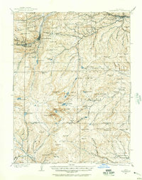
 1957 Harris Park1959 Print · USGSThe Clear Creek and Park County borderlands are shown here in the late fifties, during an era of active forest management and mountain recreation. Researchers can trace the layout of early settlements and camps like Harris Park, Camp Rock, and the Royal Ranch.8 unique versions available
 - 1957 Map of Georgetown, 1960 Print
 1957 Georgetown1960 Print · USGSGeorgetown and the high peaks of the Front Range are captured here during a period of transition between its mining peak and modern recreation. Researchers can trace the heritage of the silver boom through Silver Plume, the Lamartine Tunnel, and the Old RR Grade.5 unique versions available
 - 1958 Map of Denver
 1958 Denver1958 Print · USGSDenver and the Colorado Front Range are captured here during the mid-century suburban boom. Trace the footprints of military installations like Buckley Air Force Base alongside the established rail networks of the Colorado & Southern Ry.
 - 1960 Map of Denver
 1960 Denver1960 Print · USGSDenver and the Colorado Front Range are seen here at a pivotal moment of postwar expansion into the plains and foothills. Researchers can trace the mid-century rail network of the Denver & Rio Grande Western RR and locate historic institutional landmarks like Buckley Field and the Colorado School of Mines.
 - 1983 Map of Denver West
 1983 Denver West1983 Print · USGSThe Front Range and Denver's western suburbs meet in the early 1980s, documenting the era's growth from the mountain peaks to the valley floor. Genealogists and historians can trace the foundations of Lakewood and Golden, or locate high-altitude landmarks like the Moffat Tunnel and Mount Olivet Cem.2 unique versions available
 - 2011 Map of Harris Park, 2011 Print
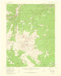
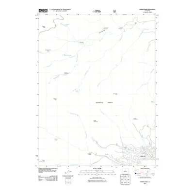 2011 Harris Park2011 Print · USGSCovers Harris Park, including Park County, Clear Creek County, and other nearby areas
 - 2013 Map of Harris Park, 2013 Print
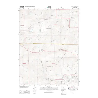 2013 Harris Park2013 Print · USGSCovers Harris Park, including Park County, Clear Creek County, and other nearby areas
 - 2016 Map of Harris Park, 2016 Print
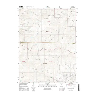 2016 Harris Park2016 Print · USGSCovers Harris Park, including Park County, Clear Creek County, and other nearby areas
 - 2019 Map of Harris Park, 2019 Print
 2019 Harris Park2019 Print · USGSCovers Harris Park, including Park County, Clear Creek County, and other nearby areas
 - 2022 Map of Harris Park, 2022 Print
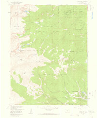
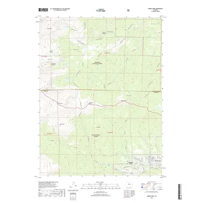
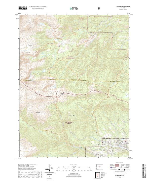 2022 Harris Park2022 Print · USGSThe mountain settlements of Harris Park and Highland Park are shown in high detail during the early 2020s. Hikers and historians can trace the access routes into the Pike National Forest via the Rosalie Trl and identify peaks like Royal Mtn.
End of results
Showing maps 1-14 of 14
Frequently asked questions
- What are the different types of historical maps available for Harris Park?
- What is the oldest map of Harris Park?
- Where can I purchase historical maps of Harris Park for my home or office?
- Where can I download high-res historical maps of Harris Park?
- Are there historical topographic maps available for Harris Park?
- Is there historical aerial imagery available for Harris Park?
- Where are historical maps of Harris Park sourced from?