Old Maps of Shawnee, Colorado
Explore 14 old maps of Shawnee, spanning from 1945 to today. These high-resolution historic maps reveal how streets, neighborhoods, landmarks, and natural features evolved over time — perfect for genealogy, metal detecting, research, and local history exploration.
What you can do with these maps:
- See how Shawnee changed over time: Compare historical maps to modern-day views to trace roads, homesites, rail lines & more.
- View detailed metadata: Each map includes creators, publishers, year, scale, and archive source.
- Overlay maps with satellite & LiDAR: Visualize the past alongside modern tools to explore terrain & human change.
- Trusted historical sources: Maps sourced from the USGS, Library of Congress, and other archives.
- Access maps your way: View online, download high-res files, or order prints for personal or research use.
Start exploring old maps of Shawnee to uncover forgotten places, hidden landmarks, and the deep history beneath your feet.
Shawnee, CO maps
(14)- 1945 Map of Shawnee, 1957 Print
 1945 Shawnee1957 Print · USGSThe mountain settlements of the North Fork South Platte valley are captured here at the end of the Second World War. Genealogists and local historians can trace family locations and community hubs like Case School, Shawnee, and the Willow Creek Ranch.2 unique versions available
 - 1948 Map of Shawnee
 1948 Shawnee1948 Print · USGSThe North Fork of the South Platte River corridor is captured here in the mid-1940s as a series of mountain ranching and travel outposts. Genealogists and historians can trace family-named landmarks like Willow Creek Ranch or the community life centered at the Case School.2 unique versions available
 - 1953 Map of Denver, 1964 Print
 1953 Denver1964 Print · USGSDenver and the Colorado Front Range are captured here during a decade of post-war growth and military expansion. Researchers can trace the sprawling rail lines of the Union Pacific, locate the State Capitol, and explore historic mountain mining hubs like Central City.6 unique versions available
 - 1957 Map of Denver
 1957 Denver1957 Print · USGSDenver and the Colorado Front Range are seen here during a mid-century period of intense military and urban expansion. Trace the footprints of the Rocky Mountain Arsenal, the early United States Air Force Academy, and the Lowry AF Base.
 - 1958 Map of Denver
 1958 Denver1958 Print · USGSDenver and the Colorado Front Range are captured here during the mid-century suburban boom. Trace the footprints of military installations like Buckley Air Force Base alongside the established rail networks of the Colorado & Southern Ry.
 - 1960 Map of Denver
 1960 Denver1960 Print · USGSDenver and the Colorado Front Range are seen here at a pivotal moment of postwar expansion into the plains and foothills. Researchers can trace the mid-century rail network of the Denver & Rio Grande Western RR and locate historic institutional landmarks like Buckley Field and the Colorado School of Mines.
 - 1983 Map of Bailey
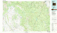 1983 Bailey1983 Print · USGSPark County and the high Front Range are captured here during the early 1980s as traditional mountain settlements met new development patterns. Genealogists and researchers can trace the Denver and Rio Grande Western Railroad and old mountain hamlets like Bailey, Webster, and Garo.2 unique versions available
 - 1987 Map of Shawnee
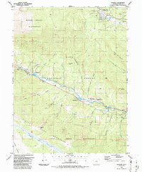 1987 Shawnee1987 Print · USGSPark County mountain life in the 1980s centered on the canyon floor where the highway and river met. Genealogists and hikers can trace local landmarks like Shawnee, the Cem, and the steep drainage of Slaughterhouse Gulch deep in the Pike National Forest.2 unique versions available
 - 1994 Map of Shawnee, 1998 Print
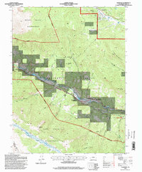 1994 Shawnee1998 Print · USGSThe South Fork Platte River valley in the 1990s remains the heart of this high-country corridor. Researchers can trace the layout of Shawnee and Glenisle, alongside mountain landmarks like Crooked Top Mountain and the Ben Tyler Trail.
 - 2011 Map of Shawnee, 2011 Print
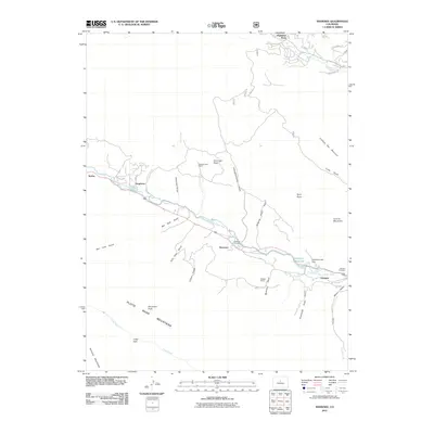 2011 Shawnee2011 Print · USGSPark County high country comes into focus in this recent study of the canyon settlements along the North Fork South Platte River. Genealogists and historians can locate the Shawnee Cemetery, trace the path of Old Stagecoach Rd, and identify the specific site of the Redskin Mines.
 - 2013 Map of Shawnee, 2013 Print
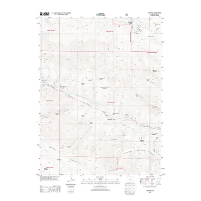 2013 Shawnee2013 Print · USGSThe mountain valley near Shawnee and Glenisle is documented here during the early twenty-first century as it sits along the North Fork South Platte River. Local historians can trace family sites at Shawnee Cem or follow old routes like the Old Stage Coach Rd.
 - 2016 Map of Shawnee, 2016 Print
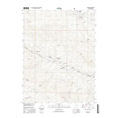 2016 Shawnee2016 Print · USGSPark County mountain communities along the North Fork South Platte River are captured here as they appeared in the early twenty-first century. Researchers can locate family sites and local landmarks like Shawnee Cem, Singleton, and the winding Brookside-McCurdy Trail.
 - 2019 Map of Shawnee, 2019 Print
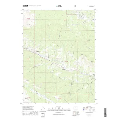 2019 Shawnee2019 Print · USGSPark County mountain life in the late twenty-teens is centered along the winding river valley. Trace local genealogy and early settlement sites through the Shawnee Cem and Baldwin Cem, or explore the high peaks of Derringer Peak and Shawnee Peak.
 - 2022 Map of Shawnee, 2022 Print
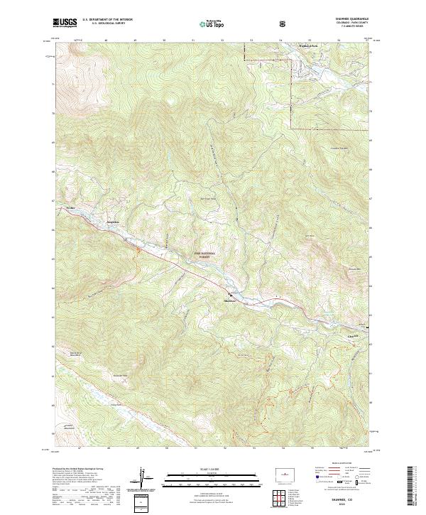 2022 Shawnee2022 Print · USGSThe North Fork of the South Platte River corridor serves as the heart of this Park County mountain landscape. Researchers can locate the Shawnee Cem, the settlement of Glenisle, and high-altitude landmarks like Shawnee Peak and Highland Park.
End of results
Showing maps 1-14 of 14
Frequently asked questions
- What are the different types of historical maps available for Shawnee?
- What is the oldest map of Shawnee?
- Where can I purchase historical maps of Shawnee for my home or office?
- Where can I download high-res historical maps of Shawnee?
- Are there historical topographic maps available for Shawnee?
- Is there historical aerial imagery available for Shawnee?
- Where are historical maps of Shawnee sourced from?