Old Maps of Nast, Colorado for Hiking & Exploration
Hike through history with 15 historic maps of Nast. Explore old trails, ghost towns, and forgotten backroads — perfect for outdoor adventurers and local explorers.
- Rediscover forgotten places: Map out old mining camps, roads, and footpaths that no longer exist on modern maps.
- Layer with modern tools: Combine with LiDAR or satellite views to plan hikes through historical terrain.
- Made for exploration: Popular among hikers, overlanders, and local history lovers.
Use these maps to find adventure and explore the hidden past of Nast.
Nast, CO maps
(15)- 1909 Map of Mount Jackson, 1955 Print
 1909 Mount Jackson1955 Print · USGSPitkin County was a thriving center of high-country mining and railroading during the early 1900s. Genealogists and historians can trace the rail lines of the Colorado Midland Railway and locate vanished sites like Ashcroft and the Little Annie Mine.2 unique versions available
 - 1911 Map of Mount Jackson
 1911 Mount Jackson1911 Print · USGSThe high Rockies of Pitkin and Eagle Counties are captured here at the peak of the mountain rail era. Researchers can trace the dual tracks of the Colorado Midland RR and the Denver and Rio Grande RR past Aspen and the Little Annie Mine.3 unique versions available
 - 1957 Map of Leadville, 1978 Print
 1957 Leadville1978 Print · USGSHigh-country mining and rail transport define the central Colorado Rockies during the mid-to-late twentieth century. Researchers can trace the industrial footprints of Gilman and Climax, find small rail stops like Malta, and follow the Denver and Rio Grande Western RR.2 unique versions available
 - 1959 Map of Leadville
 1959 Leadville1959 Print · USGSThe Colorado high country in the late fifties is a landscape of mining history and military training, from the streets of Leadville to the Camp Hale grounds. Genealogists and historians can trace the Denver and Rio Grande Western RR alongside now-deserted sites like Ashcroft and Independence.
 - 1960 Map of Leadville
 1960 Leadville1960 Print · USGSThe Colorado high country in the mid-fifties comes alive through its mining camps, river valleys, and rail lines. Trace the industrial legacy of the Climax Molybdenum Mine and explore the alpine reaches of the Camp Hale Military Reservation.2 unique versions available
 - 1962 Map of Leadville
 1962 Leadville1962 Print · USGSThe Colorado high country in the early sixties was a rugged landscape of mining camps, military training grounds, and emerging ski towns. Researchers can trace the legacy of Camp Hale, locate the Molybdenum mine near Leadville, and follow the Denver and Rio Grande Western RR through the canyons.
 - 1964 Map of Leadville
 1964 Leadville1964 Print · USGSColorado's high country is captured here during the mid-1960s, showing the intersection of mining history and mountain transport. Trace the legacy of high-altitude industry at the Climax Molybdenum Mine or follow the rails of the Colorado and Southern Ry past Leadville.
 - 1970 Map of Nast, 1973 Print
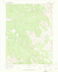 1970 Nast1973 Print · USGSThe high Rockies of Pitkin and Eagle counties are shown here in the 1970s, as massive water diversion projects reshaped the local hydrology. Researchers can trace the path of the Charles H. Boustead Tunnel, locate the settlement of Nast, or find the high-altitude Kiln near Sellar Park.3 unique versions available
 - 1983 Map of Leadville
 1983 Leadville1983 Print · USGSThe Colorado high country in the early eighties shows a landscape of world-class peaks and deep-rooted mining industry. Trace the historic tracks of the Denver and Rio Grande Western RR and locate high-altitude operations like the Climax Mine or London Mine.2 unique versions available
 - 1994 Map of Nast, 1998 Print
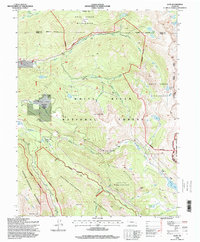 1994 Nast1998 Print · USGSThe high-country settlement of Nast and the upper Fryingpan River are captured in the mid-nineties as a hub of complex alpine water engineering. Genealogists and hikers can trace the Continental Divide and the paths of the Boustead Tunnel or the Nast Tunnel near Ivanhoe Lake.
 - 2011 Map of Nast, 2011 Print
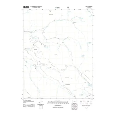 2011 Nast2011 Print · USGSThe Fryingpan River headwaters are shown in the early twenty-first century, revealing a landscape defined by significant water engineering and alpine mining. Trace the complex routes of the Nast Tunnel, Ivanhoe Dam, and old workings at the Cunningham Tunnel Mine.
 - 2013 Map of Nast, 2013 Print
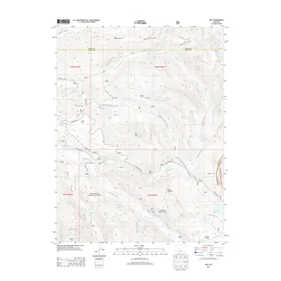 2013 Nast2013 Print · USGSThe high-country wilderness near the Pitkin and Eagle County border comes alive in this survey of the Fryingpan River headwaters. Trace the complex water-diversion history of the Nast Tunnel and Granite Adit alongside settlements like Nast and Horseshoe Bend Ranch.
 - 2016 Map of Nast, 2016 Print
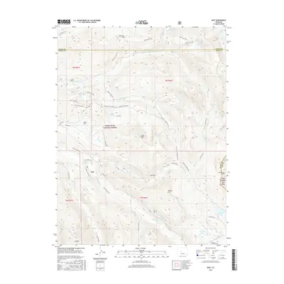 2016 Nast2016 Print · USGSThe high country near Nast and the Continental Divide is shown here in the mid-2010s, highlighting a complex landscape of water engineering and mountain access. Researchers can trace historic infrastructure like the Charles H Boustead Tunnel, Granite Adit, and the old Sellar Logging Road.
 - 2019 Map of Nast, 2019 Print
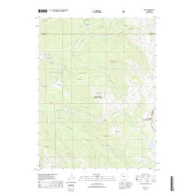 2019 Nast2019 Print · USGSThe Colorado high country near the Pitkin and Lake County border is shown here during a period of modern wilderness management. Researchers can trace the massive water-diversion projects of the Nast Tunnel and Charles H Boustead Tunnel alongside the settlement at Nast.
 - 2022 Map of Nast, 2022 Print
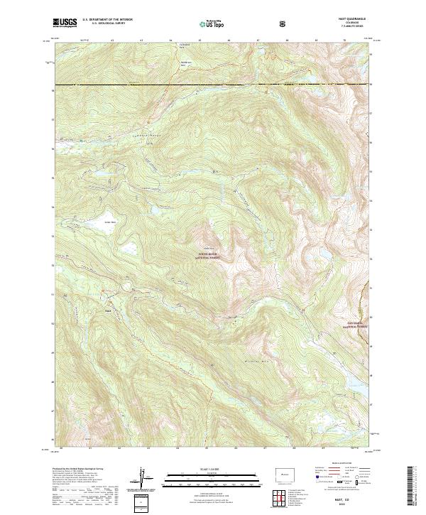 2022 Nast2022 Print · USGSThe Sawatch Range wilderness and its complex water-diversion infrastructure are mapped here during the early twenty-first century. Genealogists and historians can trace high-country life through Nast, Sellar Park, and the significant engineering of the Nast-Tunnel.
End of results
Showing maps 1-15 of 15
Top cities near Nast
Frequently asked questions
- What are the different types of historical maps available for Nast?
- What is the oldest map of Nast?
- Where can I purchase historical maps of Nast for my home or office?
- Where can I download high-res historical maps of Nast?
- Are there historical topographic maps available for Nast?
- Is there historical aerial imagery available for Nast?
- Where are historical maps of Nast sourced from?