Old Maps of South Fork, Colorado for Metal Detecting
Plan your next treasure hunt with 23 historic maps of South Fork. Find old homesites, ghost towns, trails, and gathering spots that may be lost to time — perfect for identifying promising metal detecting locations.
- Locate forgotten sites: Uncover places like long-lost settlements, abandoned rail lines, or gathering spots.
- Plan better hunts: Use map overlays combined with LiDAR or satellite views to narrow in on historically rich areas.
- Made for detectorists: Thousands of hobbyists use these maps to discover relics, coins, and hidden history.
Use these historic maps to boost your research and find new opportunities beneath the surface of South Fork.
South Fork, CO maps
(23)- 1914 Map of Creede
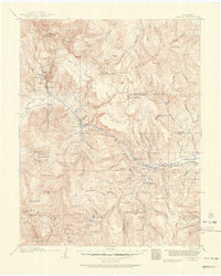 1914 Creede1914 Print · USGSMineral County mining camps and silver-era infrastructure are preserved in this pre-war survey. Genealogists and historians can trace industrial landmarks like the Nelson Tunnel alongside early settlements including Bachelor, Sunnyside, and Spar City.3 unique versions available
 - 1916 Map of Creede
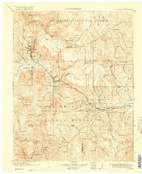 1916 Creede1916 Print · USGSThe silver boom of the San Juan Mountains is in full swing on this 1910s survey of the upper Rio Grande. Researchers can trace mining claims and tunnels at Bachelor, locate the Emma Mine, or find the old Pfeiffer School near Granger.3 unique versions available
 - 1945 Map of Durango
 1945 Durango1945 Print · USGSSouthwest Colorado and Northern New Mexico at mid-century are defined by the high peaks of the San Juan Range and the tribal lands of the Southern Ute. Genealogists and historians can trace the paths of the D & R G W RR and locate local landmarks like Animas City and the Blanco Basin School.3 unique versions available
 - 1953 Map of Durango, 1963 Print
 1953 Durango1963 Print · USGSThe high peaks of the San Juan Mountains and the Colorado mining country are shown here as they appeared in the early fifties. Genealogists and local historians can trace the rail lines of the D & R G W RR and locate historic mining camps like Silverton, Ouray, and Old Ophir.
 - 1954 Map of Durango
 1954 Durango1954 Print · USGSSouthern Colorado in the mid-1950s was defined by high-altitude mining towns and the expansion of water storage in the San Luis Valley. Trace the narrow-gauge Denver & Rio Grande Western RR as it connects Durango to mountain outposts like Silverton and Creede.2 unique versions available
 - 1961 Map of Durango
 1961 Durango1961 Print · USGSThe high San Juan country in the early sixties is shown here as a network of historic mining towns and early reservoir projects. Genealogists and researchers can trace the Denver & Rio Grande Western RR as it connects Durango, Silverton, and Arboles.
 - 1963 Map of Durango
 1963 Durango1963 Print · USGSThe San Juan Mountains and San Luis Valley are captured here in the early 1950s as mining, rail, and tribal lands shaped the region. Researchers can trace the Denver & Rio Grande Western RR through high-country towns like Telluride and Silverton, or locate landmarks such as the Asiatic Mine.
 - 1966 Map of Durango
 1966 Durango1966 Print · USGSSouthwestern Colorado and the New Mexico borderlands are shown here in the mid-1960s, a time when the narrow-gauge rail network still tied the high peaks to the valley floor. Researchers can trace the Denver & Rio Grande Western Railroad between settlements like Silverton, Antonito, and Pagosa Springs.2 unique versions available
 - 1967 Map of South Fork West, 1968 Print
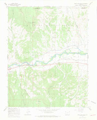
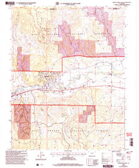
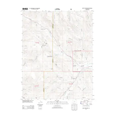
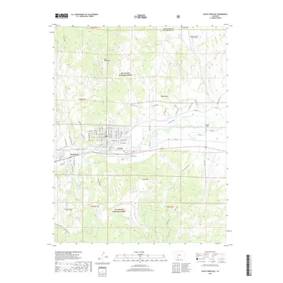
 1967 South Fork West1968 Print · USGSThe confluence of the Rio Grande and its south fork comes alive in the late sixties, showing a landscape defined by ranching and the railroad. Researchers can trace the Denver and Rio Grande Western line past Riverside Ranch to the mountain community of South Fork.4 unique versions available
 - 1967 Map of South Fork East, 1969 Print
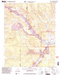
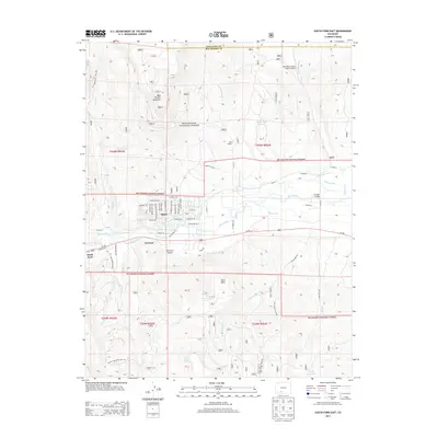
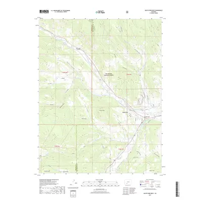
 1967 South Fork East1969 Print · USGSIn the Rio Grande valley during the late 1960s, the river and rail network defined local commerce and transit. Researchers can trace the path of the Denver and Rio Grande Western railroad past Holy Family Mission and the small cemetery near Agua Ramon.3 unique versions available
 - 1982 Map of Del Norte, 1983 Print
 1982 Del Norte1983 Print · USGSThe Rio Grande Valley and San Juan Mountains are seen here in the early eighties, transitioning from rugged alpine peaks to the irrigated San Luis Valley plains. Researchers can trace the Denver and Rio Grande Western rail line and locate old regional hubs like Creede, Monte Vista, and Wagon Wheel Gap.
 - 2001 Map of South Fork East, 2005 Print
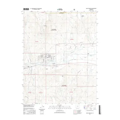
 2001 South Fork East2005 Print · USGSThe Rio Grande valley near the turn of the millennium shows a landscape of mountain forests and irrigated riverside settlements. Trace local history through the Holy Family Mission, the small community of Gerrard, and the high waters of Lost Lake.
 - 2001 Map of South Fork West, 2005 Print
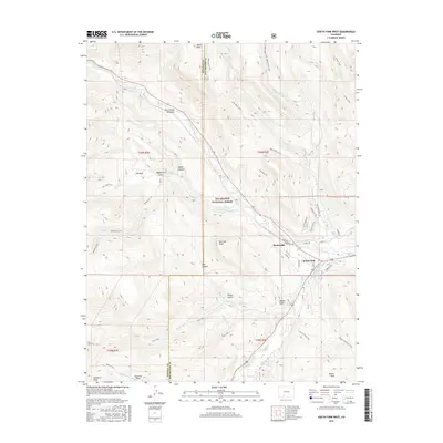
 2001 South Fork West2005 Print · USGSThe confluence of the Rio Grande and its southern fork comes into sharp focus during the late twentieth century. Genealogists and local historians can trace the development of seasonal retreats like Alamo Summer Homes and Masonic Park alongside the vital Highline Ditch.
 - 2011 Map of South Fork West, 2011 Print
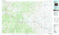
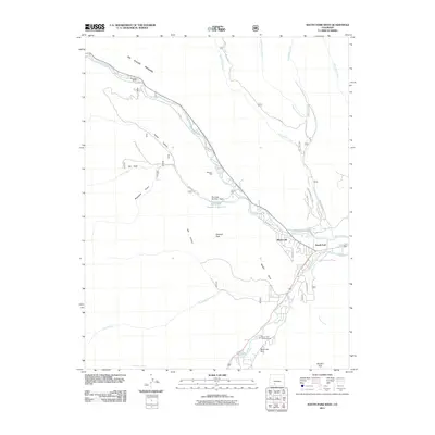 2011 South Fork West2011 Print · USGSCovers South Fork, including Baxterville, Mineral County, and other nearby areas
 - 2011 Map of South Fork East, 2011 Print
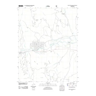 2011 South Fork East2011 Print · USGSCovers South Fork, including Alpine, Gerrard, and other nearby areas
 - 2013 Map of South Fork West, 2013 Print
 2013 South Fork West2013 Print · USGSCovers South Fork, including Baxterville, Mineral County, and other nearby areas
 - 2013 Map of South Fork East, 2013 Print
 2013 South Fork East2013 Print · USGSCovers South Fork, including Alpine, Gerrard, and other nearby areas
 - 2016 Map of South Fork East, 2016 Print
 2016 South Fork East2016 Print · USGSCovers South Fork, including Alpine, Gerrard, and other nearby areas
 - 2016 Map of South Fork West, 2016 Print
 2016 South Fork West2016 Print · USGSCovers South Fork, including Baxterville, Mineral County, and other nearby areas
 - 2019 Map of South Fork East, 2019 Print
 2019 South Fork East2019 Print · USGSCovers South Fork, including Alpine, Gerrard, and other nearby areas
 - 2019 Map of South Fork West, 2019 Print
 2019 South Fork West2019 Print · USGSCovers South Fork, including Baxterville, Mineral County, and other nearby areas
 - 2022 Map of South Fork West, 2022 Print
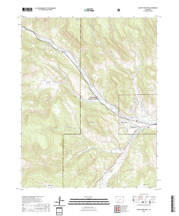 2022 South Fork West2022 Print · USGSSettled at the confluence of mountain waters, this Rio Grande region in the early 2020s shows a landscape of timbered peaks and vital irrigation. Researchers can trace the legacy of water rights and early settlements through the South Fork Highline Ditch, the community of Baxterville, and landmark trails like the Beaver Mountain Trl.
 - 2022 Map of South Fork East, 2022 Print
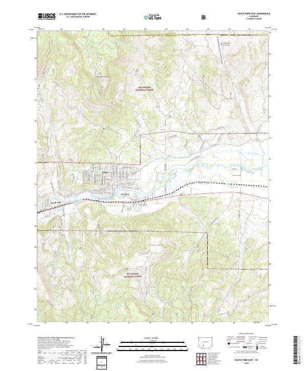 2022 South Fork East2022 Print · USGSThe confluence of the Rio Grande and South Fork comes alive in this 2022 survey of the high mountain valley. Trace local land use through settlements like Alpine and Gerrard, or follow mountain access via the Embargo Creek Trl and Wolf Creek Rd.
End of results
Showing maps 1-23 of 23
Top neighborhoods of South Fork
Frequently asked questions
- What are the different types of historical maps available for South Fork?
- What is the oldest map of South Fork?
- Where can I purchase historical maps of South Fork for my home or office?
- Where can I download high-res historical maps of South Fork?
- Are there historical topographic maps available for South Fork?
- Is there historical aerial imagery available for South Fork?
- Where are historical maps of South Fork sourced from?