Old Maps of Hayden, Colorado for Metal Detecting
Plan your next treasure hunt with 24 historic maps of Hayden. Find old homesites, ghost towns, trails, and gathering spots that may be lost to time — perfect for identifying promising metal detecting locations.
- Locate forgotten sites: Uncover places like long-lost settlements, abandoned rail lines, or gathering spots.
- Plan better hunts: Use map overlays combined with LiDAR or satellite views to narrow in on historically rich areas.
- Made for detectorists: Thousands of hobbyists use these maps to discover relics, coins, and hidden history.
Use these historic maps to boost your research and find new opportunities beneath the surface of Hayden.
Hayden, CO maps
(24)- 1916 Map of Daton Peak, 1958 Print
 1916 Daton Peak1958 Print · USGSThe Yampa Valley and Williams Fork Mountains are captured here in the mid-1910s during the height of early coal mining. Trace local genealogy and industry through the Cary Mines, the Pagoda School, and the remote Willow Creek Store.2 unique versions available
 - 1920 Map of Daton Peak
 1920 Daton Peak1920 Print · USGSNorthwest Colorado in the era of early mountain ranching and coal mining features a landscape of isolated homesteads and high peaks. Genealogists and historians can trace family-named sites like Jim Dunns Mine, Cary Ranch, and the Pagoda School.2 unique versions available
 - 1924 Map of Mt. Harris
 1924 Mt. Harris1924 Print · USGSRoutt County coal country and the Yampa River valley are captured in the mid-twenties, showing the rise of rail-side settlements and mining camps. Trace early homesteads and community hubs like Coal View, Pinnacle PO, and the Chicago Mine.4 unique versions available
 - 1926 Map of Mount Harris
 1926 Mount Harris1926 Print · USGSRoutt County's coal and ranching country comes alive in the mid-1920s as the Denver and Salt Lake railroad follows the Yampa River. Genealogists and historians can trace the foundations of local life through rural schools like Windy Point School and vanished mining-era stops such as Coal View.2 unique versions available
 - 1954 Map of Craig, 1973 Print
 1954 Craig1973 Print · USGSNorthwest Colorado and the high mountain parks are captured in the mid-fifties, showing the region's ranching, mining, and timber centers. Genealogists and historians can trace rail corridors like the Denver and Rio Grande Western and old towns such as Axial, Milner, and Coalmont.3 unique versions available
 - 1957 Map of Craig
 1957 Craig1957 Print · USGSNorthwest Colorado in the mid-fifties is a landscape of mountain ranching and rail-dependent river towns. Researchers can trace historic coal mining at the Sudduth Mine, follow the Denver and Rio Grande Western tracks, and locate vanished settlements like Pearl.
 - 1958 Map of Craig
 1958 Craig1958 Print · USGSNorthwest Colorado and the High Rockies are captured here in the mid-fifties, showing a landscape of burgeoning water projects and mountain ranching. Genealogists and historians can trace old homesteads and mountain outposts from Grand Lake to Meeker, alongside industrial landmarks like Uranium Mines and the Denver and Rio Grande Western railroad.
 - 1960 Map of Craig
 1960 Craig1960 Print · USGSNorthwest Colorado in the 1950s is a landscape of mountain summits and industrial growth at the headwaters of the West. Genealogists and historians can trace rail-town development along the Denver and Salt Lake line, while locating Uranium Mines and settlements like Craig, Meeker, and Steamboat Springs.
 - 1962 Map of Craig
 1962 Craig1962 Print · USGSNorthwest Colorado in the early sixties is a land of high-elevation ranching and remote river valleys. Genealogists and historians can trace the Denver and Rio Grande Western rail lines and locate early settlements like Hahns Peak, Meeker, and Juniper Springs.
 - 1964 Map of Craig
 1964 Craig1964 Print · USGSNorthwestern Colorado's high country is captured here during the mid-sixties, from the Yampa River valley to the high peaks of the Park Range. Local researchers can trace the Denver and Rio Grande Western rail line and locate Uranium Mines near Lay.
 - 1965 Map of Craig
 1965 Craig1965 Print · USGSNorthwest Colorado in the mid-sixties is defined by its massive river basins and high mountain ranges flanking the Continental Divide. Trace the routes of the Denver and Rio Grande Western through old settlements like McCoy and Kremmling.
 - 1971 Map of Mount Harris, 1974 Print
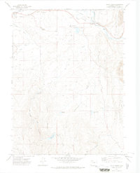 1971 Mount Harris1974 Print · USGSRoutt County during the early seventies shows a landscape shaped by the Yampa River and the energy industry. Researchers can trace the Denver and Rio Grande Western rail line past Hayden Station to find a Strip Mine, the Cem at Hayden, and family-named landmarks like Mines J B Dawson Res No 1.
 - 1971 Map of Hayden, 1974 Print
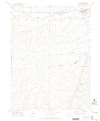 1971 Hayden1974 Print · USGSHayden and the surrounding Routt County high country are captured here in the early 1970s, as the town grew along the Yampa River. Researchers can trace old irrigation systems like Walker Ditch or locate the County Fairground and John C Temple Reservoir No 1 among the gulches.3 unique versions available
 - 1979 Map of Meeker
 1979 Meeker1979 Print · USGSNorthwestern Colorado in the late seventies reveals a landscape of high-country wilderness and expanding energy production. Researchers can trace the Denver and Rio Grande Western RR as it serves the Energy Mine and Coal View Mine, or locate the Thornburgh Historical Site and Meeker Cemetery.
 - 2010 Map of Mount Harris, 2010 Print
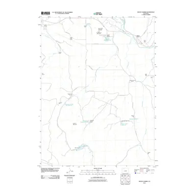 2010 Mount Harris2010 Print · USGSThe Yampa River valley in the early twenty-first century reveals a landscape defined by ranching, aviation, and a deep history of coal mining. Researchers can trace the industrial footprint of the Mount Harris Mine and the Peabody Pit, or locate family landmarks like Hillberry Mountain and Hayden Cemetery.
 - 2010 Map of Hayden, 2010 Print
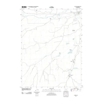 2010 Hayden2010 Print · USGSRoutt County’s coal mining and irrigation networks are shown in detail during the early twenty-first century. Researchers can trace the lineage of local energy production through sites like the Babson Mine, Bearcat Mine, and the Hayden Gulch Coal Mine.
 - 2013 Map of Hayden, 2013 Print
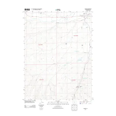 2013 Hayden2013 Print · USGSThe settlement of Hayden and the winding Yampa River anchor this 2013 topographic study of the Colorado high country. Researchers can trace historic water rights and land use through features like Shelton Ditch and the John C Temple Reservoir Number 1.
 - 2013 Map of Mount Harris, 2013 Print
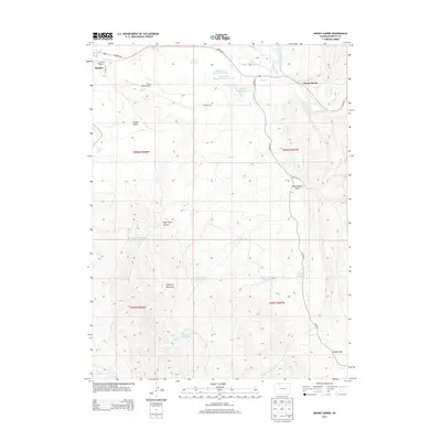 2013 Mount Harris2013 Print · USGSRoutt County's coal mining and ranching heritage is documented here during the early twenty-first century as the Yampa River flows past the community of Hayden. Researchers can trace old water rights and family landmarks via the Walker Ditch, Hayden Cemetery, and the heights of Mount Harris.
 - 2016 Map of Hayden, 2016 Print
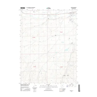 2016 Hayden2016 Print · USGSThe town of Hayden and the surrounding high-country ranchlands are documented here in the early twenty-first century. Researchers can trace the intricate network of irrigation systems and upland storage, including Shelton Ditch, Lake Emrich, and Smuin Gulch.
 - 2016 Map of Mount Harris, 2016 Print
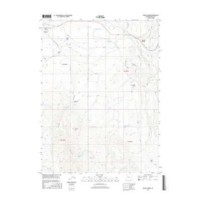 2016 Mount Harris2016 Print · USGSRoutt County industrial and river landscapes are captured here during a period of modern utility. Local researchers can trace the vicinity of Hayden and the Hayden Cem alongside regional landmarks like Hillberry Mtn and the Yampa River.
 - 2019 Map of Mount Harris, 2019 Print
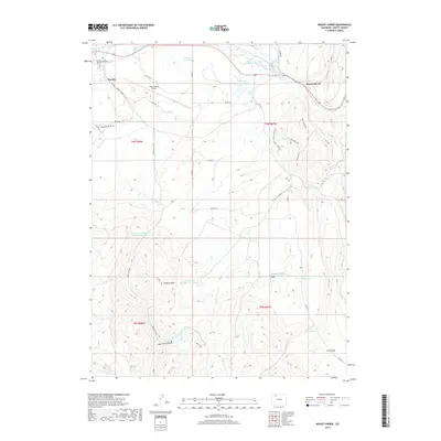 2019 Mount Harris2019 Print · USGSThe Yampa River valley in the late 2010s reveals a landscape of high-altitude ranching and modern infrastructure near Hayden. Researchers can trace the region's development through landmarks like Mount Harris, the Yampa Valley Airport, and the Hayden Cem.
 - 2019 Map of Hayden, 2019 Print
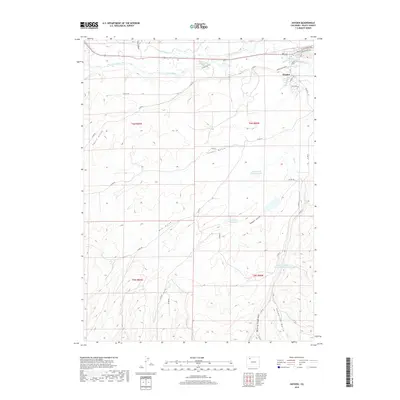 2019 Hayden2019 Print · USGSHayden and the surrounding Yampa River valley are captured in this modern survey of Routt County during the late twenty-teens. Researchers can trace the complex irrigation network of Shelton Ditch or locate water features like Greasewood Flat Reservoir and Hubberson Gulch.
 - 2022 Map of Mount Harris, 2022 Print
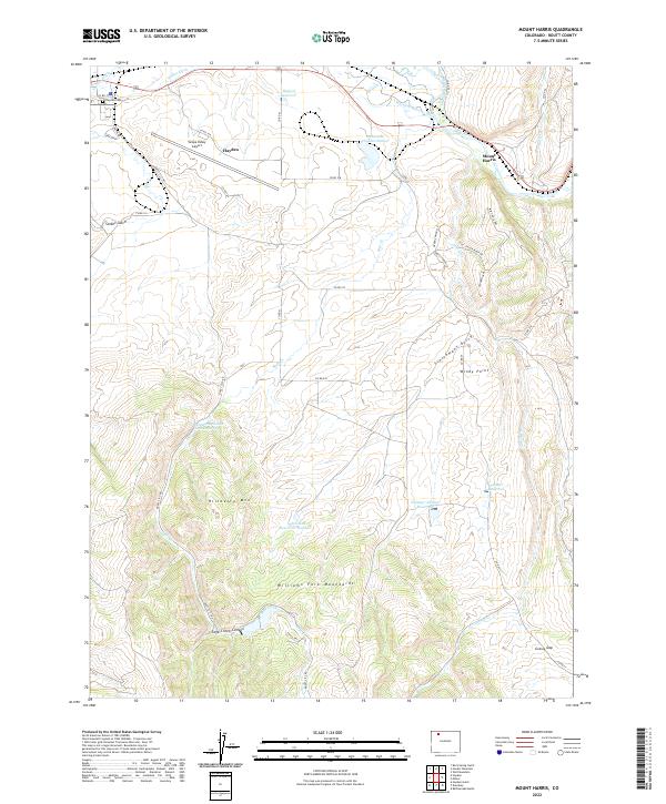 2022 Mount Harris2022 Print · USGSThe Yampa River valley in the early twenty-first century reveals a landscape shaped by coal, aviation, and irrigation. Trace local family history at the Hayden Cem or explore ranching landmarks like Hillberry Mtn and the Walker Ditch.
 - 2022 Map of Hayden, 2022 Print
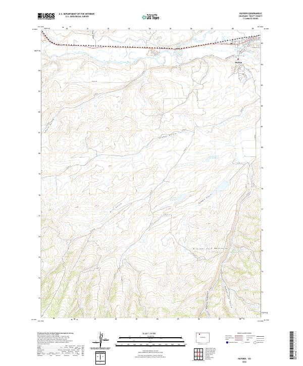 2022 Hayden2022 Print · USGSHayden and the surrounding valley are shown during a period of modern ranching and water management. Researchers can trace historical irrigation routes through Shelton Ditch and Gary Ditch, or locate upland landmarks like Greasewood Flat Reservoir.
End of results
Showing maps 1-24 of 24
Frequently asked questions
- What are the different types of historical maps available for Hayden?
- What is the oldest map of Hayden?
- Where can I purchase historical maps of Hayden for my home or office?
- Where can I download high-res historical maps of Hayden?
- Are there historical topographic maps available for Hayden?
- Is there historical aerial imagery available for Hayden?
- Where are historical maps of Hayden sourced from?