Old Maps of Bonanza, Colorado
Explore 13 old maps of Bonanza, spanning from 1956 to today. These high-resolution historic maps reveal how streets, neighborhoods, landmarks, and natural features evolved over time — perfect for genealogy, metal detecting, research, and local history exploration.
What you can do with these maps:
- See how Bonanza changed over time: Compare historical maps to modern-day views to trace roads, homesites, rail lines & more.
- View detailed metadata: Each map includes creators, publishers, year, scale, and archive source.
- Overlay maps with satellite & LiDAR: Visualize the past alongside modern tools to explore terrain & human change.
- Trusted historical sources: Maps sourced from the USGS, Library of Congress, and other archives.
- Access maps your way: View online, download high-res files, or order prints for personal or research use.
Start exploring old maps of Bonanza to uncover forgotten places, hidden landmarks, and the deep history beneath your feet.
Bonanza, CO maps
(13)- 1956 Map of Montrose, 1963 Print
 1956 Montrose1963 Print · USGSThe Colorado western slope in the late fifties and early sixties shows a landscape defined by the Denver & Rio Grande Western RR and the Gunnison River. Trace the development of Blue Mesa Reservoir or locate high-country sites like the Bachelor Mine.3 unique versions available
 - 1959 Map of Montrose
 1959 Montrose1959 Print · USGSWestern Colorado in the late fifties is defined by the high peaks and river valleys of the Southern Rockies. Genealogists and historians can trace the paths of the Denver & Rio Grande Western RR or locate mountain settlements like Crawford, Lazear, and Doyleville.
 - 1959 Map of Bonanza, 1961 Print
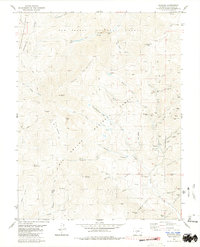
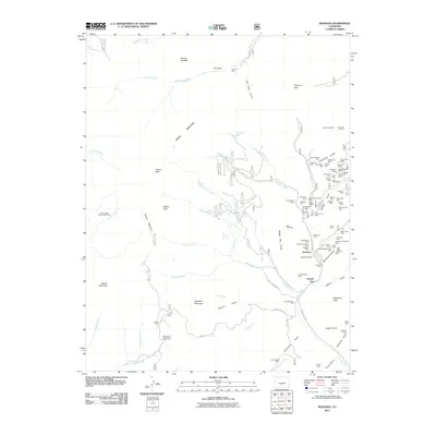
 1959 Bonanza1961 Print · USGSSaguache County's rugged mining corridors are captured here in the late fifties as the regional silver and lead industries matured. Genealogists and historians can trace the foundations of Bonanza, the former townsite at Sedgwick, and numerous working claims like the Rawley Mine.5 unique versions available
 - 1960 Map of Montrose
 1960 Montrose1960 Print · USGSThe Colorado high country in the mid-fifties is captured here during a period of steady ranching and persistent mining. Researchers can trace the path of the Denver & Rio Grande Western RR or locate small settlements like Somerset, Maher, and Sargent.2 unique versions available
 - 1968 Map of Montrose
 1968 Montrose1968 Print · USGSThe Western Slope and Continental Divide meet in the late sixties, showing the vital river valleys and high-mountain mining districts. Trace the historic route of the Denver and Rio Grande Western RR or locate small settlements like Sargents and Powderhorn.
 - 1980 Map of Bonanza, 1981 Print
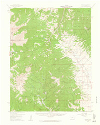
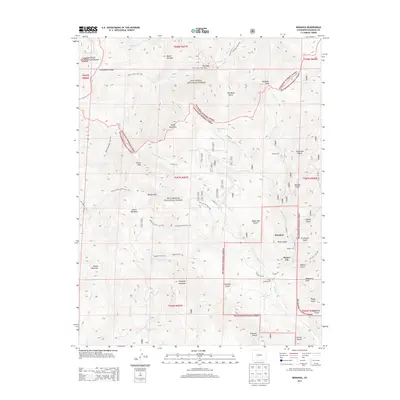
 1980 Bonanza1981 Print · USGSBonanza was a thriving mining hub in the late twentieth century, centered at the meeting point of three National Forests. Genealogists and historians can trace the industrial footprint of the Rawley Mines, find old cemeteries, and locate the Little Bonanza Mill among the high peaks.3 unique versions available
 - 1982 Map of Saguache, 1983 Print
 1982 Saguache1983 Print · USGSThe San Luis Valley meets the high peaks of the Sawatch Range in the early 1980s, revealing a landscape shaped by mining and rail. Researchers can trace the Denver and Rio Grande Western railroad and locate high-altitude sites like the Rawley Mine and the settlement of Bonanza.
 - 2001 Map of Bonanza, 2005 Print
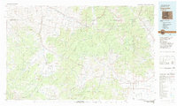
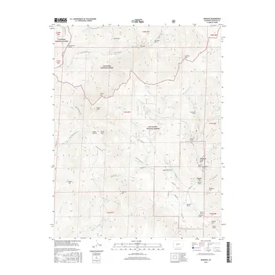
 2001 Bonanza2005 Print · USGSSaguache County's high-country mining district is captured here at the start of the millennium, centered on the historic settlement of Bonanza. Mineral hunters and historians can trace an extensive network of claims including the Rawley Mine, Little Bonanza Mill, and the Liberty Mine along the gulches.
 - 2011 Map of Bonanza, 2011 Print
 2011 Bonanza2011 Print · USGSCovers Bonanza, including Kerber City, Saguache County, and other nearby areas
 - 2013 Map of Bonanza, 2013 Print
 2013 Bonanza2013 Print · USGSCovers Bonanza, including Kerber City, Saguache County, and other nearby areas
 - 2016 Map of Bonanza, 2016 Print
 2016 Bonanza2016 Print · USGSCovers Bonanza, including Kerber City, Saguache County, and other nearby areas
 - 2019 Map of Bonanza, 2019 Print
 2019 Bonanza2019 Print · USGSCovers Bonanza, including Kerber City, Saguache County, and other nearby areas
 - 2022 Map of Bonanza, 2022 Print
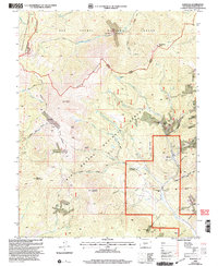
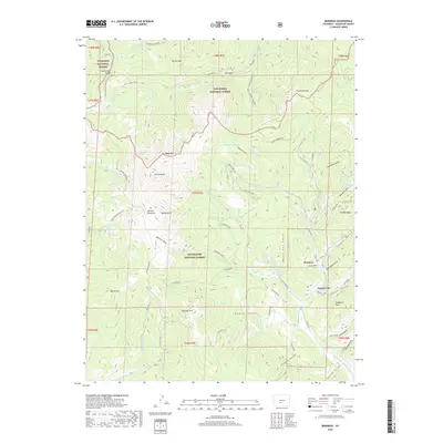
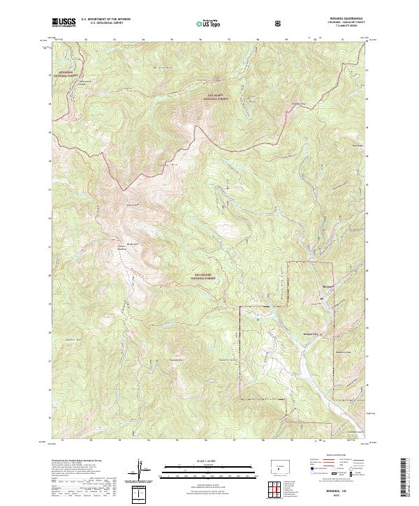 2022 Bonanza2022 Print · USGSBonanza and Kerber City sit at a high mountain junction during this recent 2022 survey of Saguache County. Trace the mining-era geography of Graveyard Gulch, locate the Klondike Mine, and follow the Continental Divide National Scenic Trail.
End of results
Showing maps 1-13 of 13
Top cities near Bonanza
Frequently asked questions
- What are the different types of historical maps available for Bonanza?
- What is the oldest map of Bonanza?
- Where can I purchase historical maps of Bonanza for my home or office?
- Where can I download high-res historical maps of Bonanza?
- Are there historical topographic maps available for Bonanza?
- Is there historical aerial imagery available for Bonanza?
- Where are historical maps of Bonanza sourced from?