Old Maps of Copper Mountain, Colorado for Hiking & Exploration
Hike through history with 14 historic maps of Copper Mountain. Explore old trails, ghost towns, and forgotten backroads — perfect for outdoor adventurers and local explorers.
- Rediscover forgotten places: Map out old mining camps, roads, and footpaths that no longer exist on modern maps.
- Layer with modern tools: Combine with LiDAR or satellite views to plan hikes through historical terrain.
- Made for exploration: Popular among hikers, overlanders, and local history lovers.
Use these maps to find adventure and explore the hidden past of Copper Mountain.
Copper Mountain, CO maps
(14)- 1929 Map of Dillon, 1955 Print
 1929 Dillon1955 Print · USGSIn the late 1920s, the Blue River valley was a high-country network of rail stops and mining camps before the landscape was changed by major dam projects. Genealogists and historians can trace the early footprints of Dillon, Frisco, and the Colorado and Southern railroad line.2 unique versions available
 - 1934 Map of Dillon
 1934 Dillon1934 Print · USGSDillon and the surrounding Blue River Valley are shown here in the mid-1930s before the valley was flooded for reservoir construction. Genealogists and historians can trace the original locations of Dillon, the Dickey Ranger Sta, and mining sites like the Boss Mine.3 unique versions available
 - 1957 Map of Leadville, 1978 Print
 1957 Leadville1978 Print · USGSHigh-country mining and rail transport define the central Colorado Rockies during the mid-to-late twentieth century. Researchers can trace the industrial footprints of Gilman and Climax, find small rail stops like Malta, and follow the Denver and Rio Grande Western RR.2 unique versions available
 - 1959 Map of Leadville
 1959 Leadville1959 Print · USGSThe Colorado high country in the late fifties is a landscape of mining history and military training, from the streets of Leadville to the Camp Hale grounds. Genealogists and historians can trace the Denver and Rio Grande Western RR alongside now-deserted sites like Ashcroft and Independence.
 - 1960 Map of Leadville
 1960 Leadville1960 Print · USGSThe Colorado high country in the mid-fifties comes alive through its mining camps, river valleys, and rail lines. Trace the industrial legacy of the Climax Molybdenum Mine and explore the alpine reaches of the Camp Hale Military Reservation.2 unique versions available
 - 1962 Map of Leadville
 1962 Leadville1962 Print · USGSThe Colorado high country in the early sixties was a rugged landscape of mining camps, military training grounds, and emerging ski towns. Researchers can trace the legacy of Camp Hale, locate the Molybdenum mine near Leadville, and follow the Denver and Rio Grande Western RR through the canyons.
 - 1964 Map of Leadville
 1964 Leadville1964 Print · USGSColorado's high country is captured here during the mid-1960s, showing the intersection of mining history and mountain transport. Trace the legacy of high-altitude industry at the Climax Molybdenum Mine or follow the rails of the Colorado and Southern Ry past Leadville.
 - 1970 Map of Vail Pass
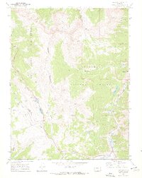 1970 Vail Pass1970 Print · USGSThe High Rockies at the dawn of the 1970s are defined here by the crossing of the Gore Range and Arapaho National Forest. Trace alpine travel routes like Vail Pass alongside old Mine sites and the settlement at Wheeler Junction.6 unique versions available
 - 1980 Map of Vail, 1982 Print
 1980 Vail1982 Print · USGSThe Eagle River valley and the Gore Range are shown here in the early eighties as mountain towns evolved from mining hubs to world-class destinations. Trace the Denver and Rio Grande Western railroad or locate the Lady Belle Mine and Johnson Mine.
 - 2011 Map of Vail Pass, 2011 Print
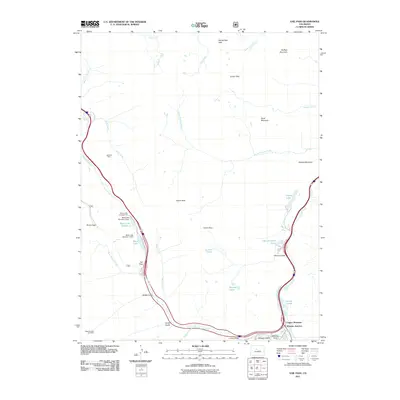 2011 Vail Pass2011 Print · USGSThe high mountain passes and valley junctions of Summit County are captured here just after the turn of the millennium. Local historians and hikers can trace the geography around Wheeler Junction, the historic Vail Pass Mine, and landmarks like Buffalo Mountain.
 - 2013 Map of Vail Pass, 2013 Print
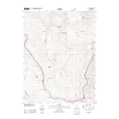 2013 Vail Pass2013 Print · USGSThe high divide between the Gore Range and Tenmile Range is captured here during the early twenty-first century. Researchers can trace the development of the Copper Mountain Ski Area and follow historic routes through Vail Pass, Shrine Pass, and Eccles Pass.
 - 2016 Map of Vail Pass, 2016 Print
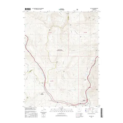 2016 Vail Pass2016 Print · USGSNear the Tenmile Range in the mid-2010s, this area shows the heavy footprint of alpine recreation and mountain transit. Researchers can trace the development of Copper Mountain and Wheeler Junction or find remote water bodies like Lake Uneva.
 - 2019 Map of Vail Pass, 2019 Print
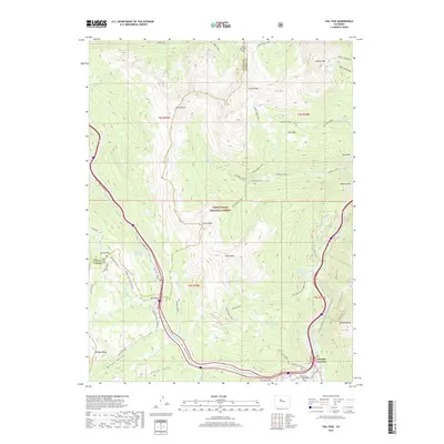 2019 Vail Pass2019 Print · USGSVail Pass and the surrounding high-alpine wilderness were mapped here just as the late 2010s recreational boom shaped the corridor. Researchers can trace historic mountain routes and modern paths through Wheeler Junction, Shrine Pass, and the Gore Range.
 - 2022 Map of Vail Pass, 2022 Print
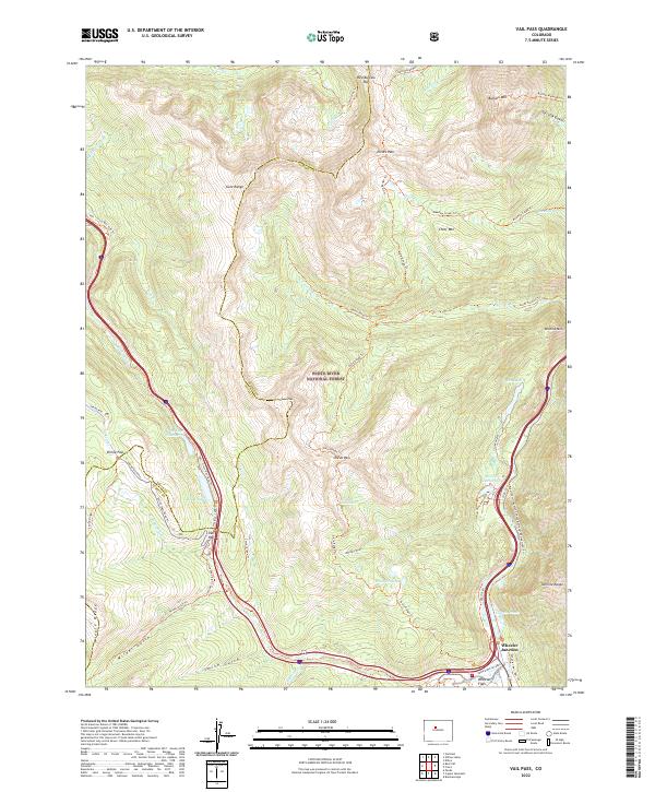 2022 Vail Pass2022 Print · USGSHigh in the Colorado Rockies, this recent survey documents the alpine corridor where Interstate 70 crosses Vail Pass between the Gore and Tenmile ranges. Trace the modern layout of the Copper Mtn Ski Area alongside historic junctions at Wheeler Junction and Wheeler Flats.
End of results
Showing maps 1-14 of 14
Top cities near Copper Mountain
- Vail historical maps
- Breckenridge historical maps
- Silverthorne historical maps
- Frisco historical maps
- Dillon historical maps
- Blue River historical maps
See more
Frequently asked questions
- What are the different types of historical maps available for Copper Mountain?
- What is the oldest map of Copper Mountain?
- Where can I purchase historical maps of Copper Mountain for my home or office?
- Where can I download high-res historical maps of Copper Mountain?
- Are there historical topographic maps available for Copper Mountain?
- Is there historical aerial imagery available for Copper Mountain?
- Where are historical maps of Copper Mountain sourced from?