Old Maps of Dillon, Colorado for Genealogy
Trace your family roots with 20 historic maps of Dillon. These high-res maps reveal old neighborhoods, homesites, landmarks, and streets — helping you uncover where your ancestors lived and how the area evolved over time.
- Explore historic neighborhoods: Identify where your relatives may have lived in the 1800s or 1900s.
- Compare maps over time: Trace the changes in streets, buildings, and landmarks for multi-generational research.
- Perfect for genealogy & ancestry research: Used by family historians and researchers to map out lineage and migration.
These maps are an incredible resource for exploring your personal connection to Dillon's past.
Dillon, CO maps
(20)- 1929 Map of Dillon, 1955 Print
 1929 Dillon1955 Print · USGSIn the late 1920s, the Blue River valley was a high-country network of rail stops and mining camps before the landscape was changed by major dam projects. Genealogists and historians can trace the early footprints of Dillon, Frisco, and the Colorado and Southern railroad line.2 unique versions available
 - 1934 Map of Dillon
 1934 Dillon1934 Print · USGSDillon and the surrounding Blue River Valley are shown here in the mid-1930s before the valley was flooded for reservoir construction. Genealogists and historians can trace the original locations of Dillon, the Dickey Ranger Sta, and mining sites like the Boss Mine.3 unique versions available
 - 1957 Map of Leadville, 1978 Print
 1957 Leadville1978 Print · USGSHigh-country mining and rail transport define the central Colorado Rockies during the mid-to-late twentieth century. Researchers can trace the industrial footprints of Gilman and Climax, find small rail stops like Malta, and follow the Denver and Rio Grande Western RR.2 unique versions available
 - 1959 Map of Leadville
 1959 Leadville1959 Print · USGSThe Colorado high country in the late fifties is a landscape of mining history and military training, from the streets of Leadville to the Camp Hale grounds. Genealogists and historians can trace the Denver and Rio Grande Western RR alongside now-deserted sites like Ashcroft and Independence.
 - 1960 Map of Leadville
 1960 Leadville1960 Print · USGSThe Colorado high country in the mid-fifties comes alive through its mining camps, river valleys, and rail lines. Trace the industrial legacy of the Climax Molybdenum Mine and explore the alpine reaches of the Camp Hale Military Reservation.2 unique versions available
 - 1962 Map of Leadville
 1962 Leadville1962 Print · USGSThe Colorado high country in the early sixties was a rugged landscape of mining camps, military training grounds, and emerging ski towns. Researchers can trace the legacy of Camp Hale, locate the Molybdenum mine near Leadville, and follow the Denver and Rio Grande Western RR through the canyons.
 - 1964 Map of Leadville
 1964 Leadville1964 Print · USGSColorado's high country is captured here during the mid-1960s, showing the intersection of mining history and mountain transport. Trace the legacy of high-altitude industry at the Climax Molybdenum Mine or follow the rails of the Colorado and Southern Ry past Leadville.
 - 1970 Map of Frisco, 1973 Print
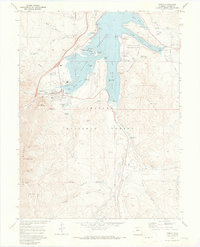 1970 Frisco1973 Print · USGSFrisco and the Blue River valley appear in the early 1970s as the landscape shifts toward recreation and water storage. Researchers can locate the Masontown site, the Dillon Cem, and mining relics like the dredge near Delaware Flats.4 unique versions available
 - 1970 Map of Dillon, 1973 Print
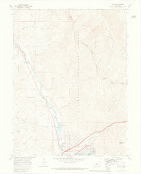 1970 Dillon1973 Print · USGSThe Blue River valley and Williams Fork Mountains are captured here in the early 1970s. Trace the growth of Silverthorne and Dillon near the Dillon Reservoir or follow high-country routes like the Dillon Jeep Trail and Ptarmigan Pass.3 unique versions available
 - 1980 Map of Vail, 1982 Print
 1980 Vail1982 Print · USGSThe Eagle River valley and the Gore Range are shown here in the early eighties as mountain towns evolved from mining hubs to world-class destinations. Trace the Denver and Rio Grande Western railroad or locate the Lady Belle Mine and Johnson Mine.
 - 2011 Map of Frisco, 2011 Print
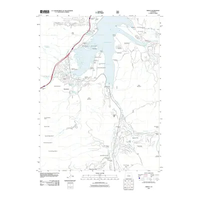 2011 Frisco2011 Print · USGSFrisco and the surrounding Summit County peaks are shown here during a period of high-altitude recreation and modern infrastructure development. Genealogists and historians can locate the Dillon Cemetery, trace the old roads to Masontown, and identify historic mining sites like the Gold Pan Mine.
 - 2011 Map of Dillon, 2011 Print
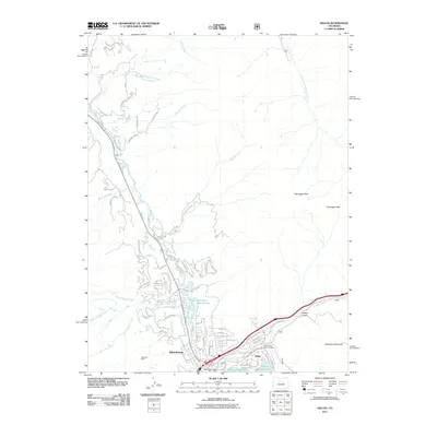 2011 Dillon2011 Print · USGSSilverthorne and Dillon are shown at a peak of modern mountain development, where the Blue River valley meets the massive Dillon Reservoir. Researchers can trace old mining roots at the Skookum Mine or navigate high-altitude landmarks like Ptarmigan Pass and Tenderfoot Mountain.
 - 2013 Map of Frisco, 2013 Print
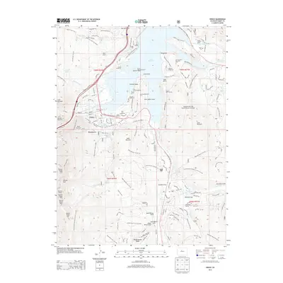 2013 Frisco2013 Print · USGSSummit County at the start of the 2010s shows a high-altitude landscape defined by massive water projects and mountain recreation. Genealogists and hikers can trace the geography of Masontown, locate the Frisco Cem, or explore the shores of Dillon Reservoir.
 - 2013 Map of Dillon, 2013 Print
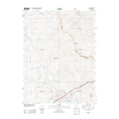 2013 Dillon2013 Print · USGSSilverthorne and the neighboring resort communities of the High Rockies are shown here at the start of the 2010s. Researchers can trace the development of Keystone, locate the Dillon Forest Service Facility, and explore high-altitude landmarks like Ptarmigan Peak.
 - 2016 Map of Dillon, 2016 Print
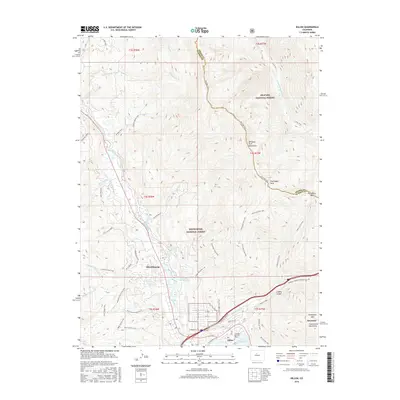 2016 Dillon2016 Print · USGSSilverthorne and Dillon are captured in the mid-2010s at the intersection of alpine wilderness and modern mountain life. Researchers can trace the developed landscape from Dillon Reservoir to high-country landmarks like Ptarmigan Peak and the Continental Divide.
 - 2016 Map of Frisco, 2016 Print
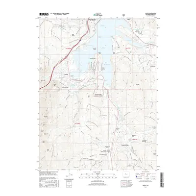 2016 Frisco2016 Print · USGSModern Summit County is defined by the intersection of high-alpine recreation and massive water engineering. Genealogists and hikers can locate the Dillon Cem, trace the historic settlement at Masontown, or follow the Harold D Roberts Tunnel under Swan Mountain.
 - 2019 Map of Frisco, 2019 Print
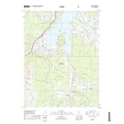 2019 Frisco2019 Print · USGSSummit County at the height of its modern era shows a landscape where mountain resorts and high-altitude reservoirs meet. Genealogists and local historians can trace the foundations of Frisco, Dillon, and Breckenridge or find historic sites like the Superior Mine and Frisco Cem.
 - 2019 Map of Dillon, 2019 Print
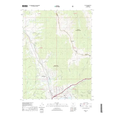 2019 Dillon2019 Print · USGSThe mountain towns of Silverthorne and Dillon are shown during a period of significant growth at the edge of the Dillon Reservoir. Researchers can trace local residential names like Arctic Placer or follow high-altitude routes like the Ptarmigan Tr and Gore Range Trail.
 - 2022 Map of Frisco, 2022 Print
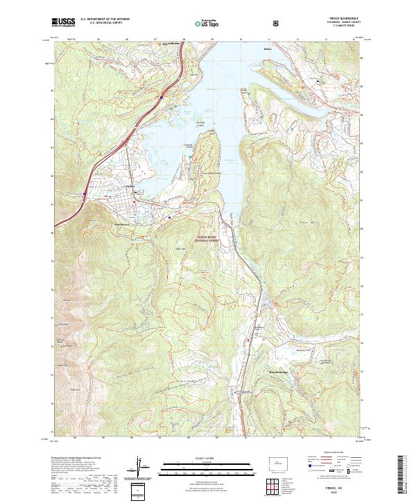 2022 Frisco2022 Print · USGSThe Summit County high country is shown here in the early 2020s as a thriving hub of mountain recreation and water management. Genealogists and hikers can trace old pathways near Masontown, locate Frisco Cem, and explore the banks of Dillon Reservoir.
 - 2022 Map of Dillon, 2022 Print
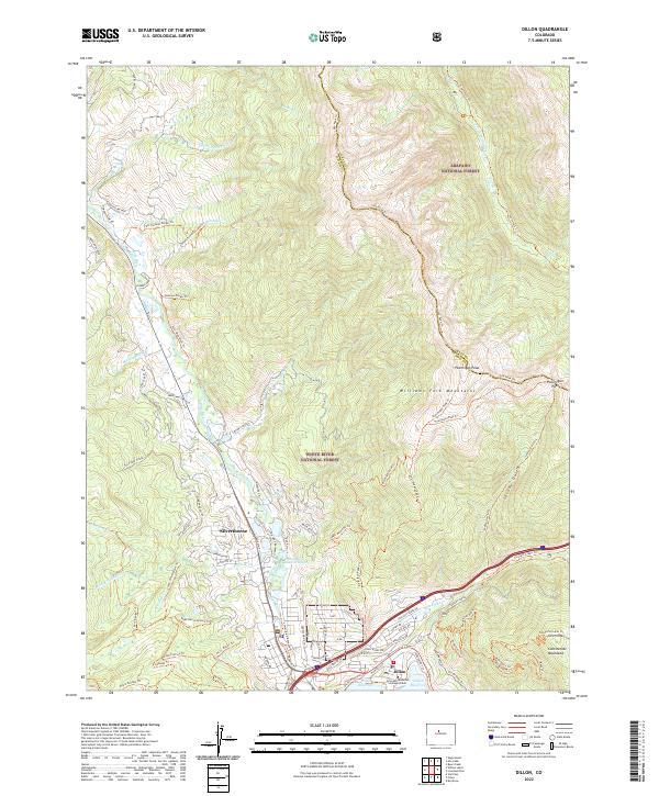 2022 Dillon2022 Print · USGSThe Silverthorne and Dillon area in the early 2020s is a modern mountain hub defined by the Blue River and the Dillon Reservoir. Researchers can trace the layout of alpine communities and extensive trail networks like the Ptarmigan Pass Trl and Laskey Gulch Trl.
End of results
Showing maps 1-20 of 20
Top cities near Dillon
- Breckenridge historical maps
- Silverthorne historical maps
- Frisco historical maps
- Blue River historical maps
- Montezuma historical maps
- Saints John historical maps
See more
Frequently asked questions
- What are the different types of historical maps available for Dillon?
- What is the oldest map of Dillon?
- Where can I purchase historical maps of Dillon for my home or office?
- Where can I download high-res historical maps of Dillon?
- Are there historical topographic maps available for Dillon?
- Is there historical aerial imagery available for Dillon?
- Where are historical maps of Dillon sourced from?