Old Maps of Avalo, Colorado for Academic Research
Study the evolution of Avalo with 10 high-resolution historic maps. Whether you're teaching, researching, or modeling changes in land use, these maps provide essential visual documentation of urban, environmental, and geographic change.
- Analyze long-term change: Track patterns in development, transportation, and natural features.
- Ideal for environmental or urban studies: Support academic projects with primary historical map data.
- Use in the classroom or lab: Educators and researchers rely on these maps to bring historical context to life.
These maps are a powerful tool for teaching, research, and visualizing how Avalo has changed over the decades.
Avalo, CO maps
(10)- 1954 Map of Sterling
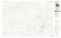
 1954 Sterling1954 Print · USGSNortheastern Colorado and the Nebraska borderlands are defined by the river-and-rail corridors of the mid-twentieth century. Researchers can trace the development of agricultural hubs from Sterling and Fort Morgan to smaller rail stops along the Union Pacific and Burlington Northern lines.3 unique versions available
 - 1958 Map of Sterling
 1958 Sterling1958 Print · USGSNortheastern Colorado thrived along the river and rail corridors during the late fifties. Genealogists and historians can trace family-named irrigation works like Davis Brothers Ditch and agricultural hubs from Peetz to Fort Morgan.
 - 1978 Map of Avalo
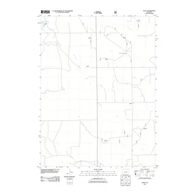
 1978 Avalo1978 Print · USGSNortheastern Colorado ranching country in the late 1970s reveals a sparse but resilient network of homesteads and water infrastructure. Genealogists and historians can trace local landmarks like Liberty Cem and Avalo, or locate family-named features like Lewis.
 - 1983 Map of Sterling
 1983 Sterling1983 Print · USGSThe Colorado high plains and the South Platte River valley come into focus in the early 1980s, centered on the hub of Sterling. Researchers can trace old transport routes like the Old Railroad Grade or locate remote outposts like Avalo and Westplains.
 - 1997 Map of Avalo, 2000 Print
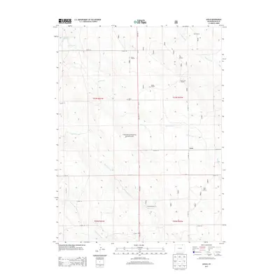
 1997 Avalo2000 Print · USGSThe high plains of Weld County come into focus during the late 1990s, showcasing the ranching infrastructure within the Pawnee National Grassland. Researchers can locate the Liberty Cemetery, the settlement of Avalo, and numerous named water landmarks like Money Saver Windmill.
 - 2011 Map of Avalo, 2011 Print
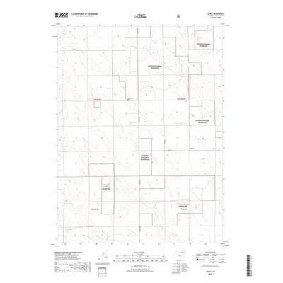
 2011 Avalo2011 Print · USGSCovers Avalo, including Weld County, United States, and other nearby areas
 - 2013 Map of Avalo, 2013 Print
 2013 Avalo2013 Print · USGSCovers Avalo, including Weld County, United States, and other nearby areas
 - 2016 Map of Avalo, 2016 Print
 2016 Avalo2016 Print · USGSCovers Avalo, including Weld County, United States, and other nearby areas
 - 2019 Map of Avalo, 2019 Print
 2019 Avalo2019 Print · USGSCovers Avalo, including Weld County, United States, and other nearby areas
 - 2022 Map of Avalo, 2022 Print
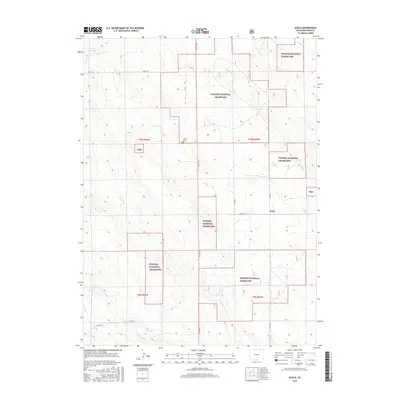
 2022 Avalo2022 Print · USGSWeld County's high plains are mapped here in the early twenty-first century, showing a remote landscape defined by federal land and ranching. Researchers can locate the Liberty Cem and trace seasonal drainages like Spring Cr near the settlement of Avalo.
End of results
Showing maps 1-10 of 10
Top cities near Avalo
Frequently asked questions
- What are the different types of historical maps available for Avalo?
- What is the oldest map of Avalo?
- Where can I purchase historical maps of Avalo for my home or office?
- Where can I download high-res historical maps of Avalo?
- Are there historical topographic maps available for Avalo?
- Is there historical aerial imagery available for Avalo?
- Where are historical maps of Avalo sourced from?