Old Maps of Heartstrong, Colorado for Metal Detecting
Plan your next treasure hunt with 10 historic maps of Heartstrong. Find old homesites, ghost towns, trails, and gathering spots that may be lost to time — perfect for identifying promising metal detecting locations.
- Locate forgotten sites: Uncover places like long-lost settlements, abandoned rail lines, or gathering spots.
- Plan better hunts: Use map overlays combined with LiDAR or satellite views to narrow in on historically rich areas.
- Made for detectorists: Thousands of hobbyists use these maps to discover relics, coins, and hidden history.
Use these historic maps to boost your research and find new opportunities beneath the surface of Heartstrong.
Heartstrong, CO maps
(10)- 1954 Map of Limon
 1954 Limon1954 Print · USGSThe Eastern Colorado plains and the Kansas borderlands come alive in the mid-fifties, showing the vital rail-and-road corridor through Limon. Genealogists and historians can trace the Chicago Rock Island & Pacific line through Burlington and find remote outposts like Arickaree and Anton.4 unique versions available
 - 1957 Map of Limon
 1957 Limon1957 Print · USGSThe High Plains of Eastern Colorado and Western Kansas come alive in the mid-1950s, showing the vital rail-and-road connections of the era. You can trace the path of the Chicago Rock Island and Pacific through towns like Limon, Stratton, and Burlington or find the early footprint of Bonny Reservoir.
 - 1958 Map of Limon
 1958 Limon1958 Print · USGSEastern Colorado and the Kansas border meet in this late-fifties study of High Plains rail and river systems. Researchers can trace the path of the Chicago Rock Island and Pacific through Limon and Burlington, or locate the Bonny Dam and Bonny Reservoir.
 - 1969 Map of Heartstrong, 1972 Print
 1969 Heartstrong1972 Print · USGSThe high plains of eastern Colorado come into focus in the late 1960s, showing a landscape shaped by groundwater and grit. Researchers can locate the central Heartstrong settlement and trace the rural community infrastructure at the Community Hall.
 - 1983 Map of Bonny Reservoir, 1984 Print
 1983 Bonny Reservoir1984 Print · USGSThe high plains of eastern Colorado and western Kansas appear here in the early eighties, centered on the vital waters of Bonny Reservoir. Genealogists and local historians can trace small prairie settlements like Idalia, Kirk, and the historic site of Beecher Island.
 - 2010 Map of Heartstrong, 2010 Print
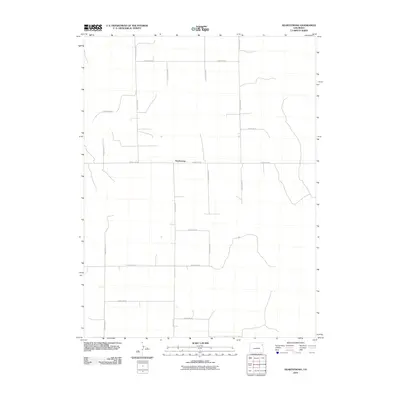 2010 Heartstrong2010 Print · USGSCovers Heartstrong, including Yuma County, United States, and other nearby areas
 - 2013 Map of Heartstrong, 2013 Print
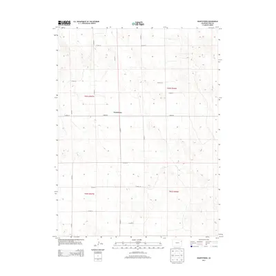 2013 Heartstrong2013 Print · USGSCovers Heartstrong, including Yuma County, United States, and other nearby areas
 - 2016 Map of Heartstrong, 2016 Print
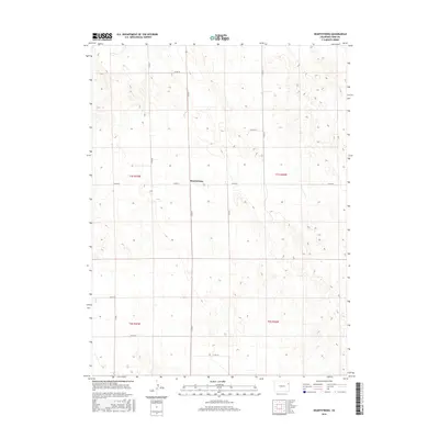 2016 Heartstrong2016 Print · USGSCovers Heartstrong, including Yuma County, United States, and other nearby areas
 - 2019 Map of Heartstrong, 2019 Print
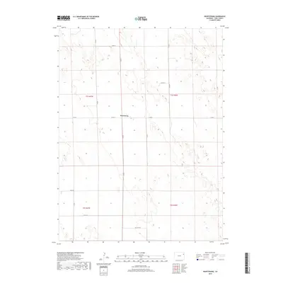 2019 Heartstrong2019 Print · USGSCovers Heartstrong, including Yuma County, United States, and other nearby areas
 - 2022 Map of Heartstrong, 2022 Print
 2022 Heartstrong2022 Print · USGSYuma County at the start of the 2020s shows the enduring patterns of high-plains agriculture and rural life. Researchers can pinpoint the small hub of Heartstrong and trace the local grid along corridors like CO RD 26 and CO RD 22.
End of results
Showing maps 1-10 of 10
Top cities near Heartstrong
Frequently asked questions
- What are the different types of historical maps available for Heartstrong?
- What is the oldest map of Heartstrong?
- Where can I purchase historical maps of Heartstrong for my home or office?
- Where can I download high-res historical maps of Heartstrong?
- Are there historical topographic maps available for Heartstrong?
- Is there historical aerial imagery available for Heartstrong?
- Where are historical maps of Heartstrong sourced from?