1900s (20th Century) Maps of Farmington, Connecticut
Explore 18 historic maps of Farmington from the 1900s (20th Century). These maps offer a rare glimpse into what life looked like during the 1900s — showing old roads, neighborhoods, homes, and landmarks that have changed or disappeared over time.
Whether you're researching your family's past, planning a metal detecting trip, or studying how Farmington's landscape evolved across the 1900s, these high-resolution maps are a powerful tool for exploring the history of this region.
- Focus on a specific era: All maps on this page are from the 1900s, giving you a focused view of this time period.
- See what’s changed: Compare century-old streets, trails, and buildings to today's modern landscape using overlays and satellite layers.
- Research with precision: Use these maps for genealogy, historical research, land use analysis, or educational projects.
- View, download, or print: Maps are fully viewable online in high resolution, and can be downloaded or printed for your own records.
Start exploring Farmington's history through authentic maps from the 1900s. This is your window into the past.
Farmington, CT maps
(18)- 1906 Map of Farmington
 1906 Farmington1906 Print · USGSCentral Connecticut at the turn of the century is a landscape of river-powered industry and rail-connected towns. Researchers can trace historic river crossings like Bissell Ferry and explore early village centers including Collinsville, Satans Kingdom, and Pine Meadow.2 unique versions available
 - 1946 Map of New Britain
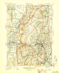 1946 New Britain1946 Print · USGSMid-century Hartford County shows a landscape of growing suburbs and deep-rooted institutions centered on the city of New Britain. Researchers can trace old neighborhood boundaries and find local landmarks like the Polish Orphanage St Lucien Home and Fairview Cem.2 unique versions available
 - 1946 Map of Bristol
 1946 Bristol1946 Print · USGSPost-war Bristol and its surrounding townships show a thriving landscape of manufacturing and close-knit neighborhoods. Genealogists and local historians can trace long-standing landmarks from the Methodist Campground and St Josephs Cem to historic recreation at Lake Compounce.
 - 1947 Map of Hartford, 1955 Print
 1947 Hartford1955 Print · USGSSouthern New England and the Hudson Valley are shown in detail during the post-war expansion era. Genealogists and researchers can trace local landmarks from the State Capitol and Yale University to the Stratford Lighthouse and Woodlawn Cem.2 unique versions available
 - 1948 Map of Hartford
 1948 Hartford1948 Print · USGSSouthern New England is captured here in the late 1940s, showcasing a landscape of thriving industrial cities and developing parkways. Genealogists and historians can trace the rail networks of the New York New Haven and Hartford RR or locate coastal defense sites like Fort Terry and Camp Shanks.2 unique versions available
 - 1951 Map of Collinsville
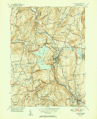 1951 Collinsville1951 Print · USGSThe Farmington River valley in the early fifties shows a landscape of growing reservoirs and busy rail lines. Trace family roots at Collinsville, find the State Fish Hatchery, or locate old schools like Lovely Street Sch.2 unique versions available
 - 1951 Map of Avon
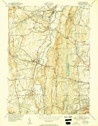 1951 Avon1951 Print · USGSMid-century Hartford County reveals a landscape of ridge-top landmarks and valley settlements along the Farmington River. Trace the grounds of the Avon Old Farms School, locate the Heublein Tower, and find family history at Cider Brook Cemetery.2 unique versions available
 - 1953 Map of Bristol, 1954 Print
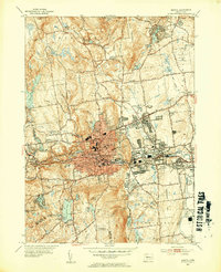 1953 Bristol1954 Print · USGSPost-war Bristol and its surrounding hills are captured here in transition from an industrial hub to a suburban landscape. Genealogists can trace family plots at St Josephs Cem or locate old neighborhood landmarks like Stafford Sch and Lake Compounce.3 unique versions available
 - 1953 Map of New Britain, 1954 Print
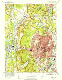 1953 New Britain1954 Print · USGSNew Britain and Plainville are shown at a peak of post-war expansion, where dense urban blocks meet the trap rock ridges of central Connecticut. Researchers can trace historic institutions like the State Teachers College, local industry near Farmington Sta, and the old Copper Mine.4 unique versions available
 - 1956 Map of Collinsville, 1958 Print
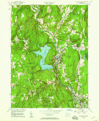 1956 Collinsville1958 Print · USGSIn the mid-1950s, the Farmington River valley was a hub of industrial heritage and massive utility projects. Genealogists and historians can trace family roots through the streets of Collinsville, locate the St. Mary's Cemetery, or study the footprint of the New York New Haven and Hartford Railroad.5 unique versions available
 - 1957 Map of Avon, 1958 Print
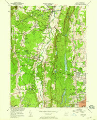 1957 Avon1958 Print · USGSMid-century Hartford County is shown here as suburban expansion begins to meet established valley institutions and state forests. Genealogists and researchers can trace local landmarks like Avon Old Farms, St Ann Cem, and the historic Powder Mill.6 unique versions available
 - 1961 Map of Hartford
 1961 Hartford1961 Print · USGSSouthern New England and the Hudson Valley are shown here in the mid-fifties, capturing a landscape of booming coastal cities and interior hill towns. Researchers can trace the legacy of the New York New Haven and Hartford rail corridor and find strategic sites like Camp Shanks and Fort Michie.
 - 1962 Map of Hartford, 1971 Print
 1962 Hartford1971 Print · USGSSouthern New England and the Hudson Valley are shown in the early sixties, as suburban growth reached into the foothills. Trace the path of the New York New Haven & Hartford RR and find landmarks like Camp Nathan Hale and Gillette Castle State Park.3 unique versions available
 - 1965 Map of Hartford
 1965 Hartford1965 Print · USGSSouthern New England and the Hudson Valley are shown here during the mid-sixties expansion of the Interstate era. Trace the path of the New York New Haven & Hartford RR or locate historic landmarks like West Point Military Reservation and the Merritt Parkway.2 unique versions available
 - 1966 Map of New Britain, 1968 Print
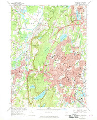 1966 New Britain1968 Print · USGSThe mid-century Hartford County suburbs were defined by industrial centers and burgeoning residential neighborhoods. Genealogists and local historians can trace family roots through numerous sites like Fairview Cem, Osgood Hill, and the State Teachers College campus.6 unique versions available
 - 1966 Map of Bristol, 1968 Print
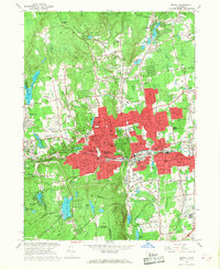 1966 Bristol1968 Print · USGSMid-century Bristol and Farmington show a landscape of growing suburbs and industrial heritage along the Pequabuck River. Genealogists and historians can trace neighborhood development near Forestville, local recreation at Lake Compounce, and parish schools like St Josephs Sch.4 unique versions available
 - 1986 Map of Hartford
 1986 Hartford1986 Print · USGSCentral Connecticut and the surrounding highlands were undergoing significant suburban growth and industrial transition during the mid-eighties. Researchers can trace the layout of regional landmarks including Bradley International Airport, the University of Connecticut, and the historic State Capitol.
 - 1994 Map of Hartford, 1995 Print
 1994 Hartford1995 Print · USGSGreater Hartford and the Connecticut River Valley are captured here in the mid-nineties, showing the dense intersection of industry and academia. Trace the urban footprint of the State Capitol and Trinity College or locate the sprawling grounds of the University of Connecticut.2 unique versions available
End of results
Showing maps 1-18 of 18
Top cities near Farmington
- Hartford historical maps
- Waterbury historical maps
- New Britain historical maps
- West Hartford historical maps
- Meriden historical maps
- Bristol historical maps
See more
Top neighborhoods of Farmington
- Bensted Corner historical maps
- Farmington Station historical maps
- Oakland Gardens historical maps
- West District historical maps
- River Glen historical maps
- East Farmington Heights historical maps
See more
Frequently asked questions
- What are the different types of historical maps available for Farmington?
- What is the oldest map of Farmington?
- Where can I purchase historical maps of Farmington for my home or office?
- Where can I download high-res historical maps of Farmington?
- Are there historical topographic maps available for Farmington?
- Is there historical aerial imagery available for Farmington?
- Where are historical maps of Farmington sourced from?